Khartoum
It begins as a line on a map, and then you see it from the air: two rivers, one blue and one white, and a blunt wedge of land pushing between them. Al-Mogran, the Arabs call the place where they meet, "The Confluence," and on the ground it looks unremarkable, just sandy banks and a drop in current. But Khartoum owes everything to this crossing. The Blue Nile comes down hard from Lake Tana in Ethiopia, brown with silt. The White Nile arrives exhausted from Lake Victoria, three thousand miles behind it. And after they collide, the combined river bends north toward Egypt, and a city became inevitable on the ground between.
Three Cities, One Confluence
What people call Khartoum is really three cities held together by water and bridges. Khartoum proper sits on the triangle between the two Niles, laid out in long straight streets by British engineers and filled, in the cooler months, with tree shade and tea ladies. Omdurman lies across the White Nile to the west, older in feel, with maze-like lanes and the great Souq Omdurman where handicrafts are better and the crowds denser. Bahri, or Khartoum North, occupies the far bank of the Blue Nile, industrial and residential, the city's working shoulder. Bridges stitch them into something singular. The Tuti Bridge, finished in 2008, even connects the main city to a green island in the middle of the Blue Nile, where farmers still grow vegetables a short ferry ride from the capital's traffic.
Nile Street at Dusk
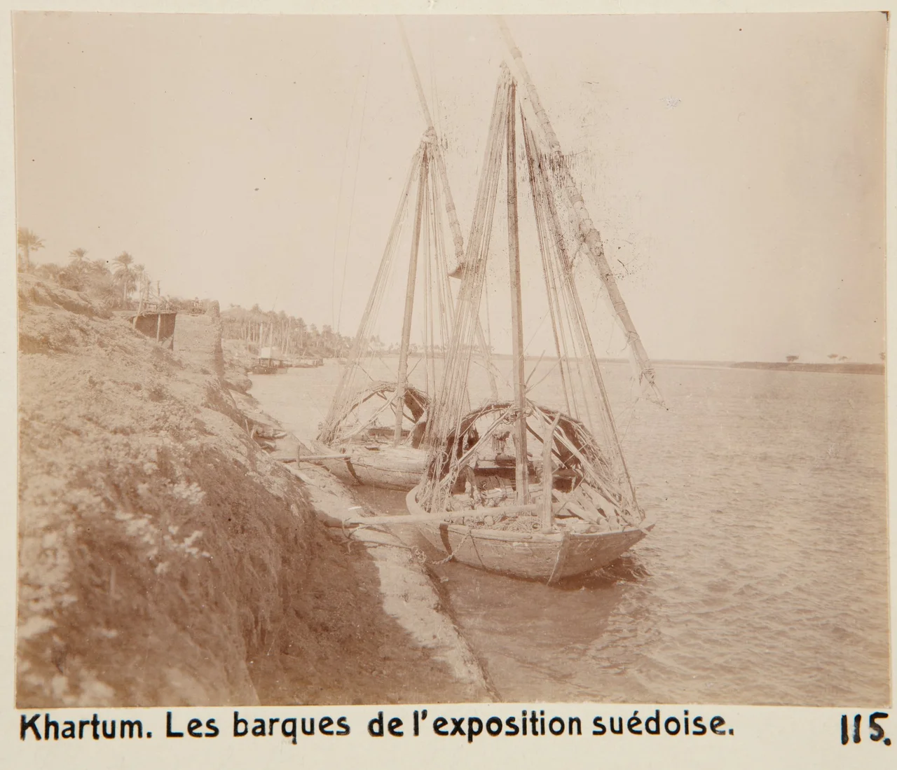
Nile Street, Shari'a al-Nil, runs along the Blue Nile and is the prettiest walk in Khartoum. Colonial-era buildings line it, their ministries and schools slightly decaying but still dignified. The Presidential Palace fronts the river. You cannot walk in front of it, guards will politely redirect you behind, but you can see the egg-shaped Al-Fateh Tower rising along the same stretch, and the Chinese-built Friendship Hall, and the National Museum. In the extended section between Mak Nimir and Manshia bridges, the evening belongs to the tea ladies. They set up charcoal burners on the grass, families gather, and an entire city comes out to sit on the riverbank and watch the water go by. It is Khartoum at its most sociable, at its best.
Souqs and Minibuses
Nobody does subtle in Khartoum. Souq al-Arabi in the city center teems with people pushing through sections devoted to cloth, to spices, to gold. Souq Omdurman, across the White Nile, spreads out and deepens, the place to go for silver jewelry, Nubian pottery, leatherwork. Above it all drive the minibuses, thousands of them, most without destination signs, gathering near the Great Mosque in such volume that the square becomes a slow-moving blue-and-yellow current. You learn to ride them by listening: conductors call out neighborhoods, passengers squeeze in, fares pass hand-to-hand. The city runs on these vehicles and the three-wheeled bajaj, tuk-tuks that dart between the bigger ones, and the beat-up yellow Corollas from the 1970s that still serve as taxis.
A Capital Under Stress
Between April 2023 and March 2025, much of what this guide describes went quiet. Fighting between the Sudanese Armed Forces and the Rapid Support Forces tore through Khartoum for nearly two years. The international airport, embedded in Al-Amarat, became a combat zone on day one of the war. Government buildings burned. Residents fled by the millions, many on foot, toward Egypt or Chad or wherever doors still opened. The National Museum, on Nile Street, lost the bulk of its 100,000-piece collection to looting. When the Sudanese Armed Forces retook Khartoum in March 2025, they walked into a ruined capital, but a capital still standing, and people have begun to return. The tea ladies will set up again. The minibuses will cough to life. This is a city that has been rebuilt before.
What's Still Worth Seeing
Beyond the three cities themselves, the surrounding country rewards the drive. Sabaloga Gorge, known as the Sixth Cataract, sits about ninety kilometers north, reachable in two and a half hours with a four-wheel-drive. There you can walk around a Sudanese village and inspect the old Ansar forts that once shelled steamers carrying relief toward General Gordon in 1884. Jebel Awlia Dam lies south on the White Nile, completed in 1937, with grassy banks perfect for a picnic and pelicans, herons, and kingfishers for the patient watcher. Further north, Meroë stands as a four-hour desert drive away, with pyramids smaller and steeper than Egypt's, carrying the hieroglyphic and architectural imprint of Kushite kings who ruled this land for a thousand years.
From the Air
Khartoum sits at 15.60°N, 32.53°E, at the confluence of the Blue and White Niles. Recommended viewing altitude: 3,500-8,000 feet. Khartoum International Airport (HSSK, formerly HSSS) lies embedded in the southern part of the city, though it suffered heavy damage 2023-2025 and is gradually recovering. Nearby alternatives include Wadi Seidna Air Base (HSSW) north of Omdurman. From altitude, the distinctive Y-shape of the two Niles meeting at Al-Mogran is unmistakable, and the city sprawls across all three fingers of land. Expect haze during dust storms (haboobs), especially April-June.
Nearby Stories
- Esh Shaheinab 27 km away
- Naqa 56 km away
- Mahdist War 65 km away
- Musawwarat es-Sufra 100 km away
- Gezira State 101 km away
- Northern Sudan 215 km away