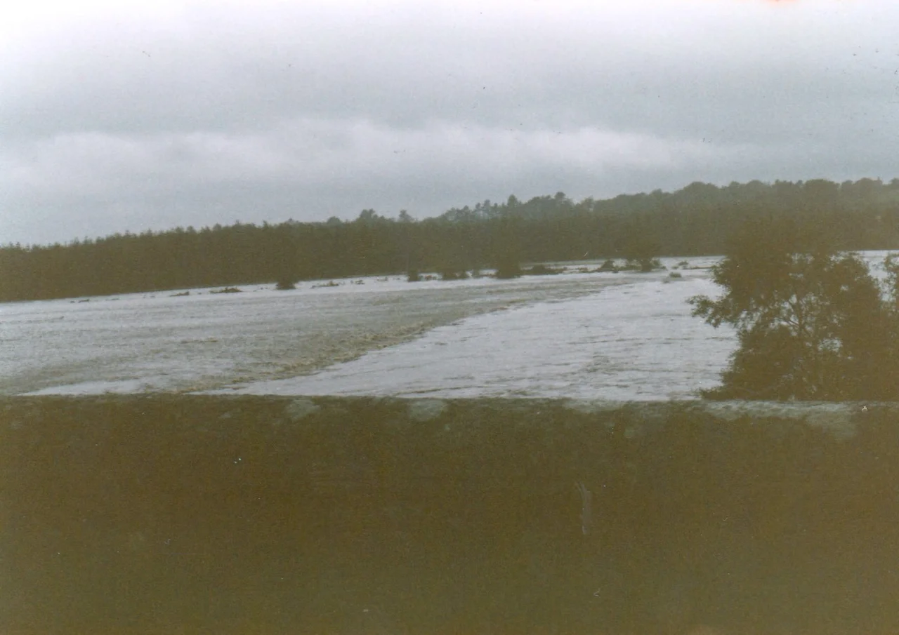

Kilbride, County Wicklow
On 5 February 1923, an IRA flying column burned Tinode House in Manor Kilbride to the ground. Eight days later, on 13 February, the same force returned and burned Kippure House in the same parish. In April that year, Free State troops arrived at Mooney's Public House looking for John Moore, a former British Army soldier turned member of an Irregular flying column; Moore ran out the back and was shot dead before he could reach cover. The Irish Civil War was unkind to Kilbride. Three of its principal houses went up in flames in a single year. The village sits on the western edge of the Wicklow Mountains, where the Brittas River meets the Liffey north of Poulaphouca Reservoir, and its valleys have been a land of war and uneasy peace for a thousand years.
Mountain Edge
Manor Kilbride sits in a valley framed by Goldenhill and Cromwellstownhill to the west and Butterhill to the east. The civil parish covers 11,591 statute acres - mostly mountain and blanket bog - and runs up to the peaks of Seefin at 621 metres, Seefingan at 723 metres, and Kippure at 757 metres in the northeast. The N81 road from Dublin to Baltinglass runs southwest through a valley between Cromwellstownhill and Goldenhill, while the R759 - one of only two roads that cross the Wicklow Mountains - winds southeast above the Liffey through Manor Kilbride toward the Sally Gap. Passage tombs sit atop both Seefin and Seefingan, prehistoric monuments from the same Neolithic tradition that produced Newgrange. Four cairns of Bronze Age or Neolithic origin and a ringfort sit on top of Golden Hill west of the village. The landscape here remembers the Bronze Age and the medieval era equally; it just keeps the layers separate.
Land of War, Inside the Pale and Out
The medieval lordship of Kilbride sat right on the boundary of the English Pale. The fortified settlements at Rathmore and Kilteel guarded its western edge, and beyond them the Wicklow uplands were terra guerre - land of war - controlled by the Gaelic O'Toole and O'Byrne families. A tower house at Threecastles, three kilometres west of Kilbride, was built by the 8th Earl of Kildare before his death in 1513 to defend his territory against the O'Tooles. In 1547, Brian O'Toole of Powerscourt, sheriff of Dublin, defeated a coalition of FitzGerald rebels and O'Tooles of Imaal at Threecastles. In 1577 Kilbride was one of a number of settlements raided and burned by Rory O'More. The land here has changed hands repeatedly across the centuries, and the deserted medieval settlement at Lisheens - two kilometres north of the village - includes a cross-inscribed stone that may have been a Mass rock used for hidden Catholic worship during the Penal Laws.
Granite from Golden Hill
From the slopes of Golden Hill above Kilbride came granite that ended up in some of Dublin's most famous buildings. Nelson's Pillar - the great column with Admiral Nelson on top of it that stood on O'Connell Street from 1809 to 1966, when the IRA blew the upper half off it - was built with Golden Hill granite. So was the General Post Office on O'Connell Street, the same building that became the symbolic centre of the 1916 Rising. So were the Custom House and the Four Courts down by the Liffey. When George Moore purchased the Kilbride estate in 1824 the quarries fell out of use, replaced by larger operations at Ballyknockan to the south. Traces of a smaller iron mine from the 1860s are still visible north of Cloghleagh Bridge, including a rusted crushing wheel. Industries vanished and the population fell with them. Between 1841 and 1851 the parish population dropped from 1,324 to 897. The famine and the closure of the quarries did the same work on Kilbride that they did on most of rural Ireland.
Civil War, Civil Peace
Kilbride army camp was established in 1894 when 1,552 acres in Shankill were taken under compulsory purchase. The Royal Irish Constabulary briefly used it; Black and Tan troops were quartered there during the War of Independence. The camp passed into the hands of Irish forces on 21 March 1922, was occupied by Anti-Treaty forces during the Civil War, fell into disuse, and was re-occupied by the Irish Army in the 1970s. It is now a permanent staff camp. The civil war that burned Tinode and Kippure - and killed John Moore behind Mooney's pub - mostly left the village's quieter things alone. Mooney's Public House survives in altered form, run for generations by descendants of Mary Lalor, who was the licensee at the 1901 Census. Kilbride Manor, designed by Thomas Cobden in Tudor Revival style and built in 1843, still stands. The Lamb Tram Station - a stop on the Dublin and Blessington Steam Tramway that ran between 1888 and 1932 - is now a private dwelling. The bridge at Cloghleagh, dating to around 1820, still crosses the Liffey. The village sits within a designated Area of Outstanding Natural Beauty, and the Special Area of Conservation that protects the Wicklow Mountains extends right across the parish.
From the Air
Manor Kilbride sits at 53.20N, 6.47W on the western edge of the Wicklow Mountains. Cruise 3,000-5,000 ft to take in the Liffey valley to the south, Poulaphouca Reservoir to the southwest, and the mountain peaks - Seefin (621 m), Seefingan (723 m), and Kippure (757 m) - to the northeast. The N81 and R759 roads are clear navigation references. Nearest international airport is Dublin (EIDW), about 30 km north-northeast. Be aware of mountain weather and rapid orographic cloud formation.
Nearby Stories
- Monasterevin 4.4 km away
- Edward Pakenham 11 km away
- Templemore 13 km away
- Dunsany Castle and Demesne 13 km away
- Wicklow Gold Rush 18 km away
- German submarine U-1051 46 km away
- HMS Tyler 48 km away
- HMS Manners (K568) 66 km away