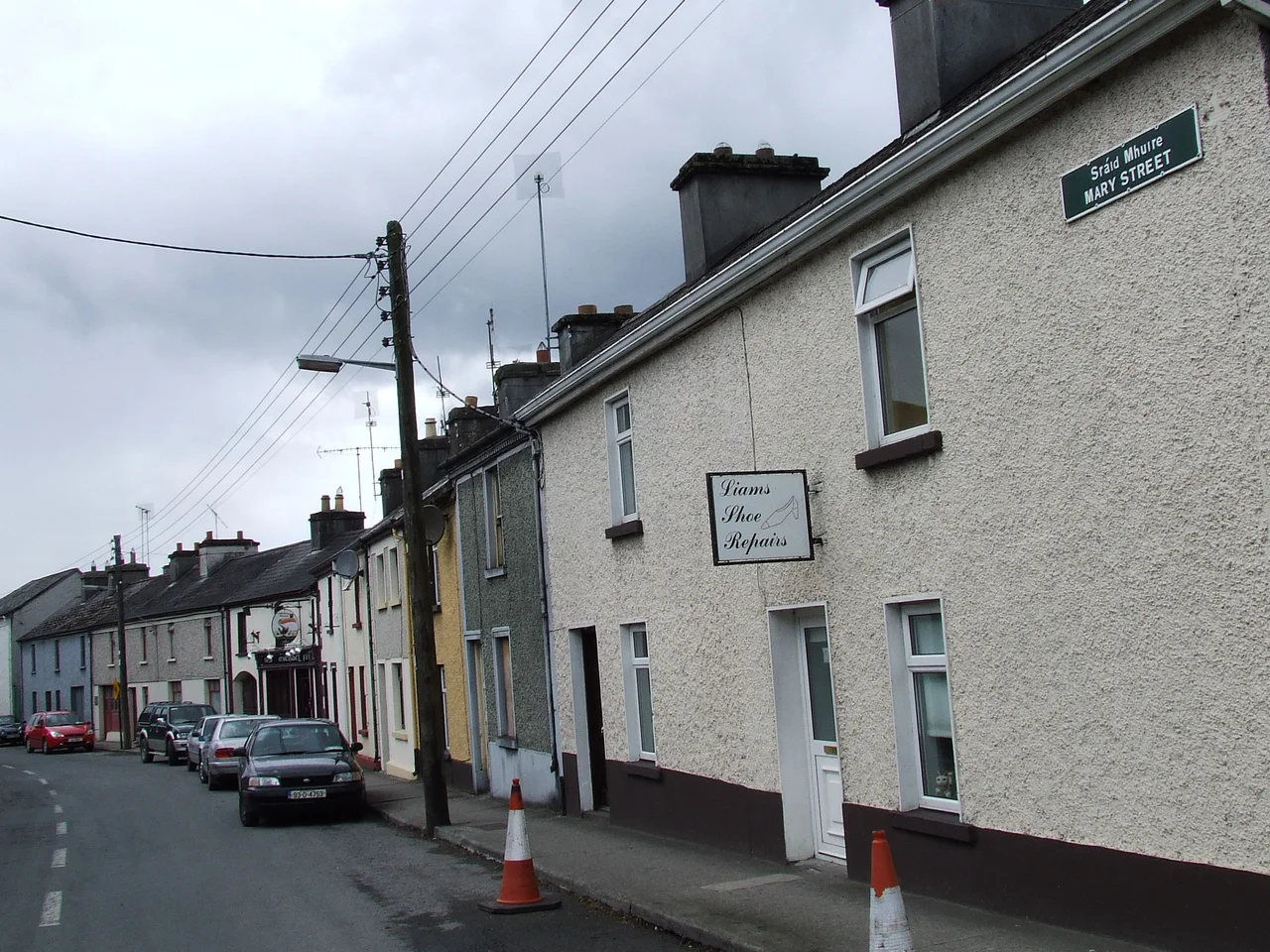

Templemore
If you join An Garda Siochana, the Irish national police, you will spend your training at the Garda Siochana College in Templemore. Twelve thousand recruits and refreshers walk these classrooms every year. The town has been training people in uniform since 1809, when Sir John Carden donated seventeen acres to the British army for the Richmond barracks - later renamed McCan Barracks - on streets given victory names from the Peninsular War: Talavera Place, Vimeiro Mall, Regent Bridge. The Empire has gone. The discipline has stayed. The Devil's Bit mountains stand a few kilometers north, with their famous gap where, according to legend, the devil bit out a chunk of rock and spat it south, where it landed as the Rock of Cashel.
Saint Sheelan's Church
Templemore means "big church" in Irish - and yet there is no townland of that name. The town is built in Kiltillane, which means "Saint Sheelan's Church." According to tradition, a holy man named Silean (anglicized to Sheelan) walked through Tipperary in the fifth century, possibly in company with Patrick himself, and established a monastery here. The ancient territory was called Tuatha Corca Teine - Teine reputedly being the son of a Connacht king who arrived shortly after Patrick. The land was part of Eile, the prehistoric Irish kingdom that once stretched from Croghan Hill in Offaly south to Cashel. By the eighth century it had broken into petty kingdoms: O'Carrolls in the north, O'Spillanes in Ileagh, the O'Fogartys holding what is now the barony of Eliogarty. The ruins of Templemore Abbey, possibly founded by the Knights Templar, still stand in the Town Park.
Cardens of Cheshire
After 1169 the Normans arrived, and the Butlers - the future Earls of Ormond - made Tipperary their palatinate. In 1450, James Butler, 4th Earl of Ormond, built the Blackcastle in what is now the Town Park: a Butler stronghold tied to lands later leased to the Purcells of Loughmoe and the Morrises of Knockagh. Around 1695, the Butlers sold their Templemore holdings to an English family from Cheshire called Carden. The Cardens stayed for the next two hundred years and gave the town its modern shape. After the Blackcastle was burned, they built a new estate house called the Priory, in Elizabethan style, surrounded by a formal demesne with paved paths and an artificial lake. The estate became known locally as "Carden's Wild Demesne," after a popular nineteenth-century poem. After 1860 the Priory was renamed the Abbey. After Independence, the Carden demesne became the public Town Park.
The Apparitions of 1920
In late summer 1920, in the middle of the Irish War of Independence, Templemore became briefly famous. A young man named James Walsh reported visions of the Virgin Mary, and water seeping from a flagstone in his cottage was said to cure illness. Pilgrims arrived by train. Newspapers printed reports. For a few weeks the town was the spiritual center of Catholic Ireland - and, not coincidentally, a strange moment of truce, because British soldiers from McCan Barracks could not easily fire on a town overflowing with religious pilgrims. The apparitions faded as quickly as they had arrived. James Walsh was later found to have IRA connections, and historians have argued for decades about whether the whole episode was authentic religious experience, deliberate political theatre, or some unsteady combination of both. The flagstone is still there. The pilgrims, mostly, are not.
The Bracken Brothers
Templemore has produced two unexpected figures of twentieth-century history. Joseph Kevin Bracken, born here, was one of the original founders of the Gaelic Athletic Association in 1884 - the organization that codified hurling and Gaelic football into the cornerstones of modern Irish sporting life. The local GAA club, formed in 1991 by the merger of Clonmore, Killea, and Templemore, carries his name: J.K. Bracken's GAC. His son Brendan went a very different way. Born in Templemore in 1901, Brendan Bracken emigrated, reinvented himself in England, became close to Winston Churchill, and served as British Minister of Information from 1941 to 1945. He helped shape Allied propaganda during the Second World War. He gave his name to the Financial Times of London, of which he was chairman. Father and son: one of them built the GAA in Ireland; the other built Churchill's wartime ministry. They are both from a Tipperary town of about two thousand people.
A Working Town
Today the town's population is just over two thousand. The Garda College sits on the southern edge, where the old barracks once held 767 unmarried British soldiers and 27 officers' horses. The Town Park - the old Carden demesne - holds the GAA grounds, a pitch-and-putt course, an athletic track, and a 7.5-acre lake stocked with native fish for coarse anglers. The town hall on Main Street started life in 1816 as a market house. Templemore College of Further Education on the Roscrea road grew out of the old St. Sheelan's College. The American politician John R. Bohan was born here. So was Charles Monck, 4th Viscount Monck, who would become the first Governor General of an independent Canada. So was John Morrissey, bare-knuckle boxer, U.S. Congressman, founder of the Saratoga Race Course in New York. For a town named after a church that no longer stands, Templemore has sent a remarkable number of people remarkable distances.
From the Air
Templemore sits at 52.80N, 7.08W in north County Tipperary, in the gently rolling countryside east of the Devil's Bit mountain range. The Devil's Bit itself - with its famous notched ridge - rises northwest of the town at 480 meters, a clear landmark from cruising altitude in any direction. The town lies on the M8 motorway and the Dublin-Cork railway line, with a station in town. Dublin (EIDW) is 130 km northeast; Shannon (EINN) 60 km west. Cork (EICK) is 130 km southwest. The River Suir's northern reaches form the eastern boundary of the Kiltillane townland on which the town stands.
Nearby Stories
- Thomastown, County Kilkenny 5.9 km away
- County Wexford 6.6 km away
- Garda Síochána College 8 km away
- Portarlington, County Laois 8.4 km away
- Sack of Cashel 11 km away
- Birr, County Offaly 12 km away
- Kilbride, County Wicklow 19 km away
- 2008 Irish Pork Crisis 21 km away