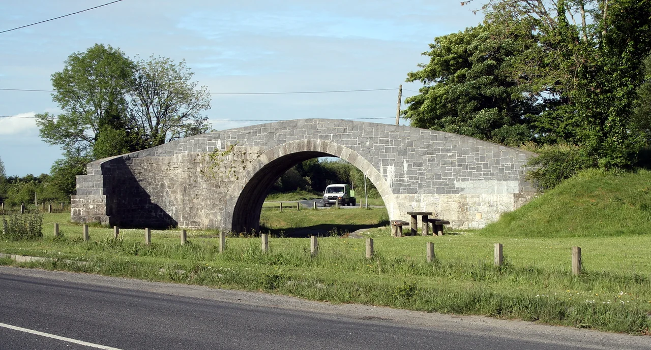

Portarlington, County Laois
Walk down French Church Street in Portarlington and you are stepping over the buried sound of a vanished accent. In the small Irish midlands town straddling the River Barrow, divine service was conducted in French from the 1690s until the 1820s. The Huguenots who came here as refugees from Catholic France brought their hymns and their consonants with them, and a hundred and thirty years passed before the language faded from the pews. The original 1694 French Church still sits just off the market square. The road that runs past it still bears its name. Few towns of nine thousand people, on either island, can claim a stranger linguistic afterlife.
A French Town on Irish Soil
Fifteen Huguenot families arrived after their settlement was burned. They came to the ashes of an earlier colony founded by Sir Henry Bennet, and they rebuilt it with a French inflection that survived longer here than anywhere else in Ireland. The Church of Ireland Bishop of Kildare consecrated their new French Church in 1694, and for more than a century afterwards the town school taught children in French as a matter of course. The accent eventually softened into the broader vowels of County Laois, but the Festival Français de Portarlington still gathers each July to remember it. Music spills out across the People's Park, the river slides past beneath the bridges, and the old French School - neglected for decades and then given a facelift by the local Lions Club - looks out over the Barrow like a building still listening for a language no one speaks any more.
Lea Castle and Its Endless Burnings
On the edge of the parish stands the ruined Norman keep of Lea Castle, built in 1260 by William de Vesey, and the list of its calamities reads like an old grievance. Burned by Fionn O Diomasaigh's men in 1284. Rebuilt. Burned again by the Scots army in 1315. Burned by the O'Moores in 1346. Captured by the O'Dempseys in 1422, lost to the Earl of Ormond in 1452, used as a refuge by Silken Thomas Fitzgerald in 1535. By the 1640s the confederates were minting coins inside its walls, until Cromwell's soldiers ended the castle's military life by stuffing the stairways with explosives. Out in the woods at Treascon, a large flat stone is all that remains of a mass rock - a place where, during the Penal Laws, Catholics gathered in secret to hear forbidden services. The stones of this parish remember being needed, and remember being hunted.
Two Counties, One River
The Barrow does the work of a border. County Offaly takes the north bank, County Laois the south, and the town arranges itself around the bridge with schools and churches clustered to the southwest and the market square spilling east. The land flattens as the river slips north; cross over and you find marshy ground broken by peat bogs and the occasional glacial hill, one of them - Derryvilla - now showing the scars of gravel extraction. To the south, Corrig Hill rises with its 19th-century stone spire and a reservoir that still uses the gravity of the slope to feed water into the town below. The Great Famine took the county's population from over 153,000 in 1841 to 73,000 by 1881, and famine graveyards are still known locally. Portarlington itself, however, has more than doubled since 2002, propelled by Dublin's commuter sprawl seventy kilometres east.
Gulliver in the Demesne
Jonathan Swift wrote large portions of Gulliver's Travels at Woodbrook House on the outskirts of town. It is difficult to picture - the misanthropic dean of St Patrick's, hunched over his manuscript of Lilliputians and flying islands, in this quiet midlands settlement of French-speaking refugees. But the house was here and so was he, and so was the book. Edward Carson, the unionist politician who would later make Ulster a state of mind, went to school here. So did the Chartist leader Feargus O'Connor. The 1798 rebellion ended badly for several local men who were hanged in the market square; a Celtic cross commemorates them now, just outside the perimeter wall of the French church. Portarlington appeared, briefly, in the 1993 Irish film Into the West, and Christy Moore mentions it in Welcome to the Cabaret. For a small town, it keeps showing up in stories.
From the Air
53.16N, 7.19W. Cruise altitude 3,000-5,000 ft to take in the Barrow valley and the dual-county geography. The town spire on Corrig Hill is a clear landmark. Nearest international airport is Dublin (EIDW), 70 km east. The Bog of Allen sprawls northward toward Tullamore.
Nearby Stories
- Edward Pakenham 9.4 km away
- Dunsany Castle and Demesne 12 km away
- Castlecomer 12 km away
- Saighir 12 km away
- Kilbride, County Wicklow 14 km away
- Garda Síochána College 15 km away
- Wicklow Gold Rush 28 km away
- St Mel's Cathedral 33 km away