
King Island
The same wind that has wrecked more than sixty ships against this coast is also what makes the cheese so good. King Island sits alone in the western jaws of Bass Strait, a low green island lashed by westerlies that have travelled thousands of uninterrupted kilometres of ocean to arrive here. Those salt-laden winds soak the pastures, the rain keeps them impossibly green, and the cattle that graze them produce a milk so rich it built an international reputation. There are no traffic lights on King Island, and barely enough roads to need any. What it has instead is weather, water, and a history written in shipwrecks.
Milk Worth Crossing an Ocean For
King Island is famous for two things you can eat, and both come from the sea and the soil. The crayfish, what locals call lobster, comes up cold and sweet from surrounding waters. But the real legend is the dairy. King Island Dairy has been turning the island's pasture into cheese since 1902, its brie, camembert, cheddar and blue carrying off awards and commanding premium prices on the mainland and beyond. The secret is no secret at all: abundant rainfall, mild year-round temperatures, salty grass and rich soil give the milk a character that cannot be faked or relocated. Much of the output ships off-island, but enough stays behind that visiting gourmets find an unexpected reward at the source. When the dairy faced closure in 2024, new owners stepped in the following year to keep it running, a measure of how much the island's identity is bound up in it.
A Coast Paved with Wrecks
Position is everything, and King Island has a terrible one. Planted dead in the centre of the western entrance to Bass Strait, it stands directly in the path of ships running the gauntlet between the Southern Ocean and the strait's shallow, treacherous waters. The result is one of the deadliest stretches of coast in the country: more than sixty known wrecks and over two thousand lives lost. The worst was the emigrant barque Cataraqui, which struck the south-west coast in 1845 and drowned nearly four hundred people, Australia's deadliest peacetime shipwreck. That disaster, sixteen years later, prompted the building of the Cape Wickham lighthouse at the island's northern tip. At 48 metres it remains Australia's tallest, a white tower keeping watch over water that has earned every bit of its fearsome name.
The Forest That Turned to Stone
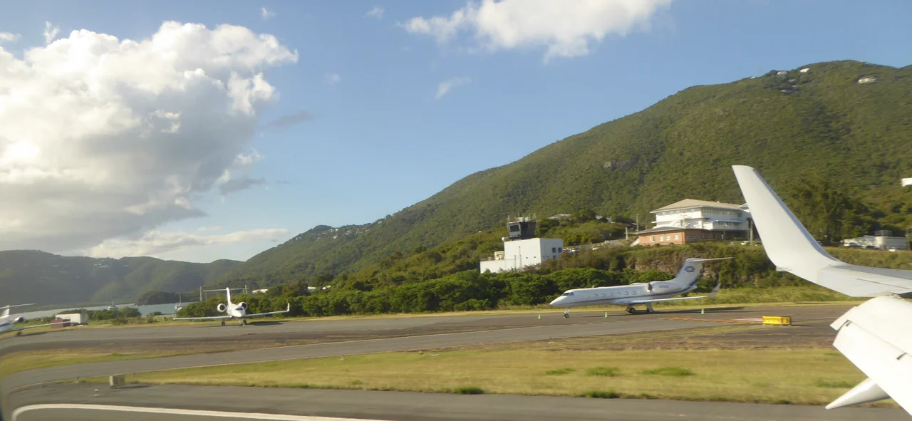
Some of King Island's strangest sights are quiet ones. On the island stands a calcified forest, an eerie field of pale, stone-hard tubes that were once living trees, their forms preserved in mineral after sand and lime encased their roots. Along the shore, fairy penguins, the smallest penguin species in the world, come ashore at dusk to their burrows, tiny silhouettes hurrying up the beach as the light fails. The island's roads are few and its pace unhurried; a hire car or a bicycle covers it easily. There is no ferry, so nearly everyone arrives the same way the modern island prefers, by air, dropping out of the strait's big skies onto a green strip of land that feels pleasantly like the end of somewhere.
Island Time at the Edge of the Strait
Life here runs on the rhythm of weather and tide. The two small towns, Currie on the west coast and Naracoopa on the east, anchor the island, offering ocean-view dinners and beachfront cottages looking out over Sea Elephant Bay. Divers come for the wrecks, golfers come for courses ranked among the world's finest links, and everyone comes for the quiet. King Island rewards slowness: long beaches with no one on them, a sky uncluttered by city glow, the constant companionship of the wind. It is a place defined by its remoteness rather than diminished by it, a small green world adrift in a wild sea, content to be exactly where it is.
From the Air
King Island lies at roughly 39.86°S, 143.98°E, commanding the western entrance to Bass Strait between mainland Victoria and Tasmania. Currie Airport (YKII) on the west coast is the main gateway, with a sealed runway served by regional carriers from Melbourne (Moorabbin, Essendon and Tullamarine), Burnie and Launceston. The Cape Wickham lighthouse at the northern tip and the township of Currie are the clearest visual landmarks; the surrounding coast is low and reef-fringed. This is exposed, wind-hammered country in the heart of Bass Strait, infamous for sudden weather changes and strong, persistent westerlies. Expect turbulence, gusty crosswinds on approach, and rapidly shifting visibility; check forecasts carefully and keep diversion fuel for the mainland or northern Tasmania.
Nearby Stories
- Disappearance of Frederick Valentich 25 km away
- The Valentich Disappearance: 'It Is Not an Aircraft' 52 km away
- Cape Grim Massacre 68 km away
- Loch Ard Gorge 105 km away
- Stanley (Tasmania) 126 km away
- The Twelve Apostles 135 km away
- Mount Bischoff 198 km away
- Chatham Islands 3312 km away