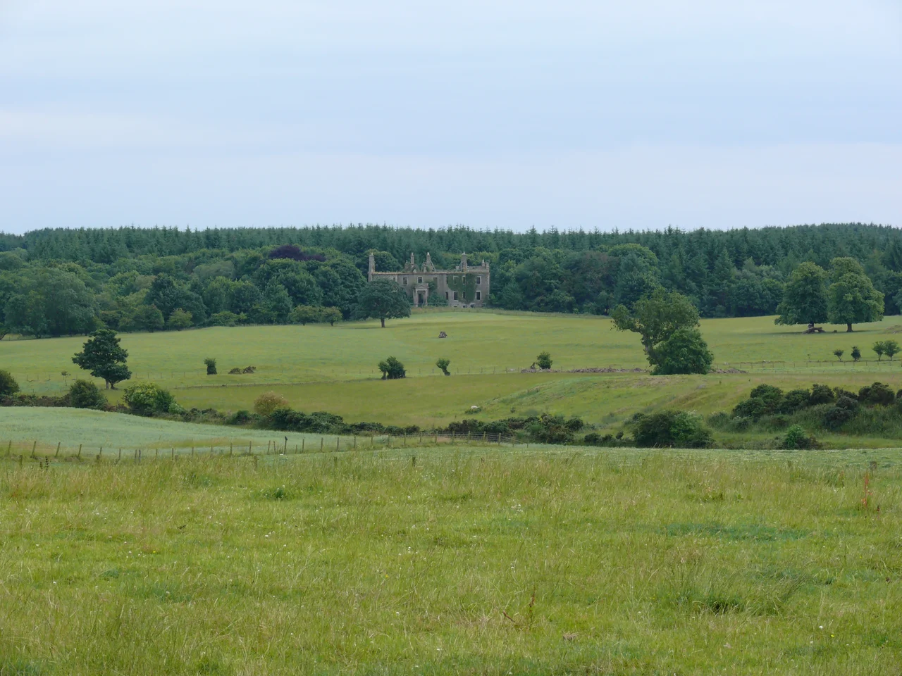

Kirkinner
In a display case outside the village hall, on Kirkinner's main street, stands a four-foot stone slab carved more than a thousand years ago with a disc-headed Celtic cross. For most of its life the cross stood out in the weather beside the parish church; later it was moved inside for safety, and finally to this small glass cabinet on the A746 Whithorn road. People drive past it without noticing. They are missing the village's quietest, oldest voice, the one that links 4th-century Saint Kennera, a hermitess remembered here, to a 10th-century mason, to the modern shoppers walking by on the way to the post office.
The Hermitess and the Cross
The 19th-century parish church of St Kennera stands on the site of a 13th- to 14th-century foundation, and probably an even earlier monastic cell associated with Saint Kennera (also rendered Cinnera or Cannera), a 4th-century hermitess who is the village's patron saint. The church is now closed for worship, and its most precious object, the 10th-century cross-slab, has migrated outwards over the centuries: from the western side of the church, into the building for protection, and now to a public display cabinet by the village hall. The parish was sometimes known as Kirkinner and Longcastle, having absorbed neighbouring Longcastle in 1650. It functioned as a parish for both civil and religious purposes from the 16th century all the way to 1975.
Doon Hill and the Iron Age
Above Capenoch Croft, west of Barnbarroch, a rocky knoll called Doon Hill carries the remains of a substantial Iron Age stone wall. The fort, which despite the name is not a dun, encloses an area roughly 34 metres north-east to south-west by 30 metres across. The four-metre-wide entrance lies to the south-west. A ditch wraps the base of the knoll except on the east, where the ground falls away too steeply to need one. There is a counterscarp bank on the north-west and the slopes themselves served as part of the defence. From the air, the knoll reads as a clean oval lift in the patchwork of fields, a small fortified island in the slow green tide of Galloway pasture.
A Death That Gave Scott His Plot
Rev. Andrew Simson, minister of Kirkinner and a close friend of the Dunbar family, wrote a poem on the morning of Janet Dunbar's funeral in 1669. Janet, born Janet Dalrymple, had died strangely on the night of her wedding. The exact circumstances were the kind of small, terrible story that takes on a life of its own. More than a century and a half later, Walter Scott reached for it as the basis of his 1819 novel The Bride of Lammermoor, which in turn became the libretto for Donizetti's opera Lucia di Lammermoor in 1835. A young woman's quiet tragedy in this village in Wigtownshire eventually became one of the most famous mad scenes in Western opera. Janet Dunbar lies in Kirkinner's churchyard, her real story largely forgotten under her fictional one.
Wartime Runways and the Last Train
The flat carse lands along the Bladnoch River were, by the 1940s, an unlikely strategic asset. Royal Air Force Baldoon was laid down here during the Second World War, and Lane Burn was diverted to make room for the airfield. War Graves Commission headstones in Kirkinner Cemetery mark the resting place of airmen who died flying out of this quiet corner of the Machars. The village's other modernising transport, Kirkinner railway station on the Newton Stewart-to-Whithorn branch line, opened on 2 August 1875, closed to passengers on 25 September 1950, and to freight on 5 October 1964. Today the village keeps its slower rhythms, a churchyard, a cross, and a few quiet hills that have outlasted everything else.
From the Air
Kirkinner sits at 54.832844N, 4.457767W on the A746 about three miles south-west of Wigtown, on the eastern edge of the Machars peninsula. The flat carse lands of the River Bladnoch and the old RAF Baldoon airfield are visible from the air just to the north-east. Best viewed at 1,500-3,000 ft. The original RAF Wigtown control tower still stands near the airfield site. Nearest airports: Dumfries (EGDD) and Prestwick (EGPK).
Nearby Stories
- Ardwell 2.1 km away
- Point of Ayre Lighthouse 8.7 km away
- Battle of Glen Trool 9.8 km away
- Ballantrae Lifeboat Station 11 km away
- Solway Firth 13 km away
- Dumfries 17 km away
- St Bees Lifeboat Station 17 km away
- Portavogie 34 km away