
Kissing Point Fortification
The guns at Kissing Point never fired on an enemy. They were built in 1891 to answer a fear that gripped the Australian colonies in the late nineteenth century: that a foreign warship, Russian or French, might one day appear off the coast and shell an undefended port. Britain had withdrawn its imperial garrisons, leaving each colony to arrange its own defence, and Queensland responded by studding its coastline with small batteries. The one at Townsville rose on a rocky headland at the northern end of The Strand, where Cleveland Bay meets Rowes Bay, commanding the sea approaches to the harbour. The dreaded warship never came. The battery waited anyway, and waited well.
A Chain of Forts Along a Coast
Kissing Point was one link in a deliberate chain. The scheme began with Fort Lytton in Brisbane in the early 1880s and extended to Green Hill Fort on Thursday Island, built almost simultaneously with the Townsville battery in the early 1890s. The thinking, devised for Queensland by the military engineers Sir William Jervois and Lieutenant-Colonel Peter Scratchley, was that fixed gun positions ashore would work in concert with naval power to deny an enemy the harbour. Major Edward Druitt supervised the design and construction here, the same engineer who fortified Magazine and Thursday Islands. Only four such coastal batteries were ever built in Queensland, and three survive. The Kissing Point fort kept its essential parts: two gun emplacements, an underground magazine, range-finder positions, a lookout, and casemate store rooms, all enclosed by an earthen seaward parapet.
The Regiment That Never Left
The fort was never just stone and steel; it was a gathering place for soldiers. From 1887 the low ground behind the battery hosted regular training, and from 1889 the annual encampments of North Queensland's military forces. The Kennedy Regiment, raised in Townsville in 1886 and one of Queensland's oldest units, made this headland its home. Its members carried on through the Federation militia, fought as part of the Imperial forces in both World Wars and earned battle honours, and continued after 1921 as the 31st Battalion. For more than 125 years, until the army formally relinquished the site in 2007, a military presence persisted on this rock, an unbroken thread of marching feet and morning parades stretching from the colonial era into living memory.
Jezzine, a Name From Another War
The wider barracks took its name not from Townsville but from a mountain village in Lebanon. On 13 June 1941, during the Syria-Lebanon campaign against Vichy French forces, Australian troops of the 7th Division fought the Battle of Jezzine. Their commander was Major-General John Lavarack, whose name Townsville's other army base also carries. When the headland barracks expanded around 1941, it was christened Jezzine in honour of that victory half a world away. The Second World War transformed the site: five prefabricated P1 huts were thrown up to meet the urgent demand for accommodation as the war reached Australia's doorstep, and those increasingly rare huts survive today as relics of a nation scrambling to defend itself.
Returned to Country
By the late 1990s the army was preparing to dispose of the headland, and Townsville pushed back. A determined public campaign argued that this place, with its forty-five-kilometre sweep of views across the bay to Castle Hill and Magnetic Island, belonged to the community. In 2009 most of the site was transferred to the Townsville City Council in trust, specifically for public use, and reopened as a park honouring two histories at once. The Army Museum of North Queensland now occupies the old precinct, its dioramas tracing the colonial wars through Korea, Vietnam and beyond. Woven through the grounds is the Wulgurukaba and Bindal heritage of the headland, told in interpretive signage and dozens of commissioned public artworks, recognising that this coastal landscape held meaning for its Traditional Owners long before any gun pointed out to sea.
From the Air
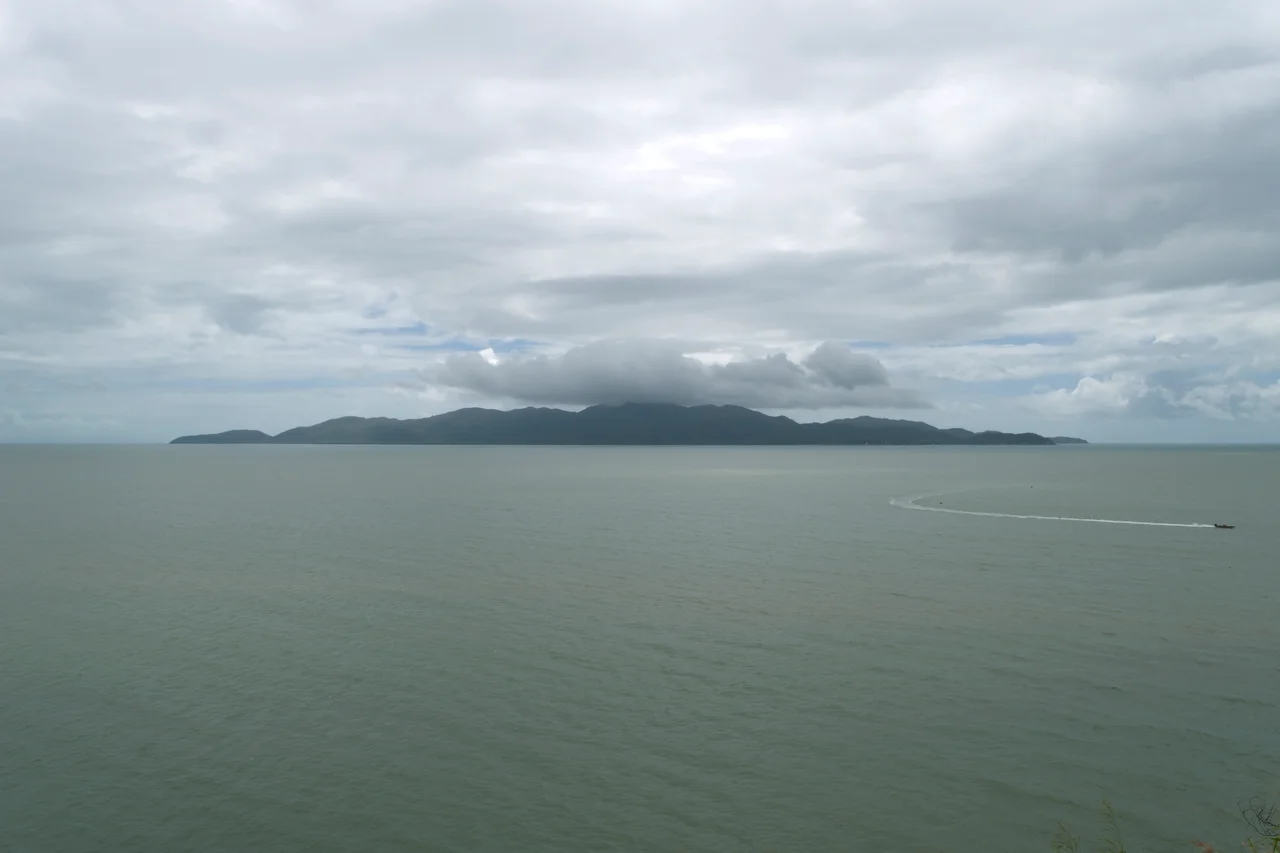
Kissing Point Fortification and Jezzine Barracks occupy a rocky headland at 19.240°S, 146.804°E, at the northern tip of The Strand in Townsville, where Cleveland Bay meets Rowes Bay. The fort commands sweeping views: northwest to Cape Pallarenda, west across to Magnetic Island (about 6 km offshore), and southeast over the harbour toward Mount Elliot, with Castle Hill (286 m) rising 2.5 km to the south. The headland's earthworks, parade ground and white-painted structures are visible against the granite-and-sea backdrop. Townsville Airport (IATA TSV, ICAO YBTL) lies roughly 5 km west-northwest; coastal approaches over Cleveland Bay pass close to the point. Best viewed from lower altitudes in clear dry-season conditions; the headland sits within the Great Barrier Reef World Heritage Area's spectacular coastal scenery.
Nearby Stories
- Ayr 13 km away
- SS Yongala 34 km away
- Great Palm Island 35 km away
- Bindal People 50 km away
- Cardwell UFO Festival 83 km away
- Hinchinbrook Island 113 km away
- Porcupine Gorge 215 km away
- Samarai 998 km away