
Lady Elliot Island
The pilots tell first-time passengers to watch the water on approach, because the mantas are often easier to see from the air than from a boat. They drift below the wingtip as the little Islander aircraft drops toward the grass strip, broad dark shapes wheeling through plankton-rich shallows, sometimes a dozen at once. Lady Elliot Island has no wharf and no ferry; the runway, scratched the length of a coral cay barely a few metres above the tide, is the only way in or out. It is a strange thing, to land an aeroplane on the southern full stop of the Great Barrier Reef. It is stranger still to know this green and birded place was once scraped down to bare rock.
The Years of the Spade
The island carries the name of a ship, the Lady Elliot, whose captain charted it in 1816. But its defining wound came later. From the mid-1800s, miners dug for guano, the phosphate-rich crust formed where centuries of seabird droppings had reacted with limestone, prized as fertiliser and, in that era, as a feedstock for explosives. The work was brutal and thorough. By the time it ended around 1873, the diggers had carried off not just the guano but roughly a metre of topsoil, and stripped the cay of nearly every tree. Photographs from the period show something close to a moonscape: a flat scab of coral rubble, treeless, baked, abandoned. The seabirds that had built the island's fertility over millennia were left a ruin where their forest had been.
Bringing the Green Back
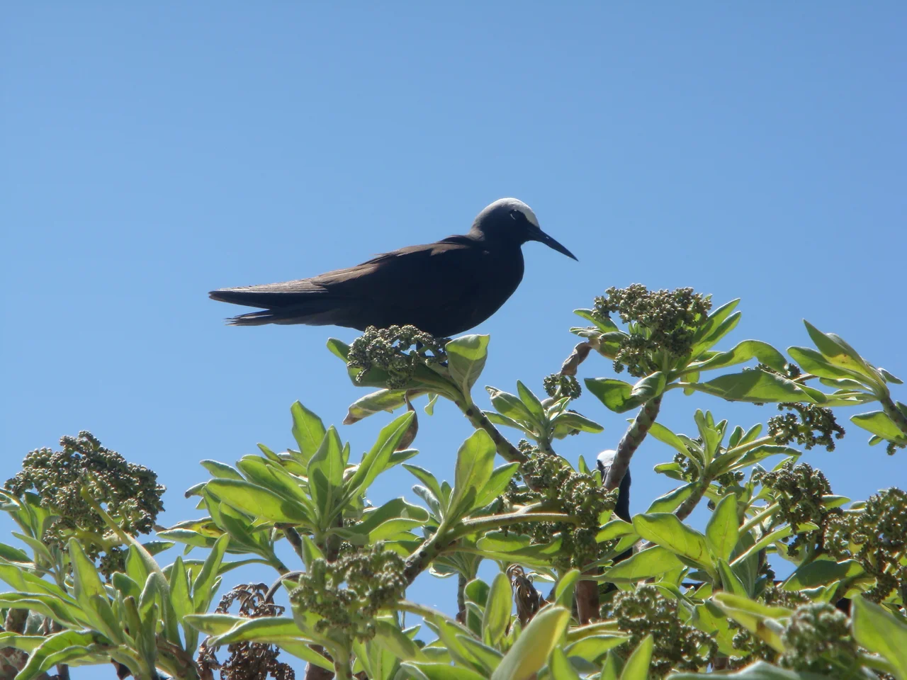
Recovery did not come quickly, and it did not come by accident. A lighthouse had been built here in 1873, and it was the keepers and their successors who, from the 1960s, began the slow work of replanting, coaxing trees back into ground that had been carried off in sacks a century before. The grasses returned, then the casuarinas and the beachside palms, and with the canopy came the birds in their tens of thousands, white-capped noddies flocking through the branches until the island seems to breathe with them. Today the cay is a sanctuary run as a low-impact eco-resort, where nothing may be taken, not a shell, not a fragment of washed-up coral, and no fishing is allowed in its waters. The restoration is now part of the island's identity: proof that even a place mined to nothing can be made whole again.
Under the Surface
Roll off the beach almost anywhere and the reef is right there, no boat required. The corals here are hard corals, more architecture than colour, and over and through them moves a crowded cast: the ever-present sergeant majors in their convict stripes, parrotfish crunching at the reef, butterflyfish, moon wrasse, the occasional triggerfish. Reef sharks patrol the edges, timid and harmless. But the animals people fly here for are the big graceful ones, the manta rays that gather to feed and to be cleaned, and the turtles. Green and hawksbill turtles cruise the shallows year-round, unbothered by snorkellers, often curious enough to drift alongside, and in summer they haul up the beaches at night to lay. The reef asks only a little caution, reef shoes against the camouflaged stonefish, hands kept off anything cone-shaped, for the few residents that bite back.
The Keeper's Wife
Every place this remote keeps its sadnesses, and Lady Elliot keeps the story of Susannah McKee, wife of a lighthouse keeper, who in April 1907 walked out onto the old guano jetty in her best clothes and into the sea. The isolation, the accounts say, had become more than she could carry. It is a quiet, human counterweight to the brochure version of paradise, a reminder that for the people who once tended the light, this dot of coral in a vast ocean could be a kind of imprisonment as much as a refuge. The resort bar mixes a cocktail in her memory, an odd small tribute, but the island does not pretend its beauty was ever uncomplicated for those who lived alone on it, watching the same horizon close around them night after night.
From the Air
Lady Elliot Island sits at 24.12 degrees south, 152.72 degrees east, the southernmost coral cay of the Great Barrier Reef, about 85 km northeast of Bundaberg. From the air it reads as a small green oval ringed by a pale reef flat and turquoise lagoon, with a single grass airstrip (aerodrome code LYT) running nearly its full length and a white lighthouse near one end. There is no other way to land; access is by light aircraft only, typically 10-seat Britten-Norman Islanders flying from Bundaberg, Hervey Bay, the Town of 1770, the Gold Coast, or Brisbane, cruising around 500 to 900 metres. The Bundaberg run crosses open water almost directly; the Hervey Bay route passes over K'gari. Recommended viewing altitude is 1,500 to 3,000 feet, low enough to spot mantas in the lagoon on a calm, clear day. Four red lights flank the runway and the crossing by reception; an aircraft is always the priority on this strip.
Nearby Stories
- Heron Island 61 km away
- Bundaberg Rum 61 km away
- Cape Capricorn Light 126 km away
- Great Keppel Island 200 km away
- Bunya Mountains National Park 272 km away
- Wreck Reefs 284 km away
- Aarhus Historic Shipwreck 286 km away
- HMS Porpoise (1799) 305 km away