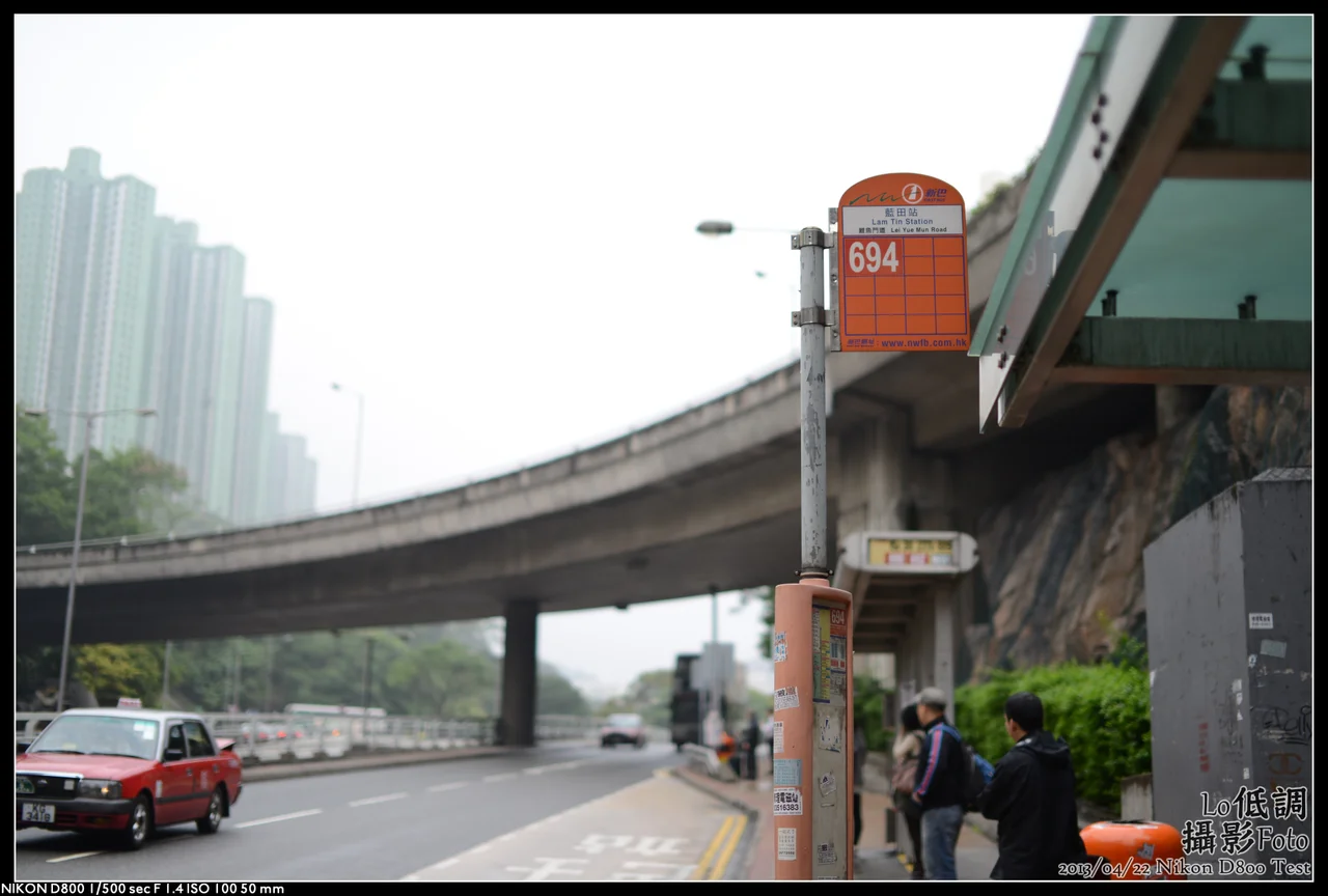

Lam Tin
The name was changed to hide an embarrassment. For centuries this stretch of the Kowloon coast was called Ham Tin Shan — "salty field hill" — because that was exactly what it was: a working salt production site that had supplied southern China since the Song dynasty first officially operated the fields in 1163. When the salt industry finally collapsed and the land was turned over to housing estates, the government renamed it Lam Tin, a homophone drawn from a phrase meaning "produced from the blue fields is jade." The new name stuck. The old name tells you what was actually here. Today, 130,000 people live in Lam Tin, a fifth of Kwun Tong District's entire population, stacked into towers on the hillside above a bay that has not produced salt in generations.
Salty Fields and the Emperor's Order
Settlement at Lam Tin reaches back to around the ninth century BC, when the Nanyue people established themselves along this coast. By the Song dynasty, the Kowloon Bay salt-fields were a significant industrial site — the fields were known as Guanfuchang, managed under Dongguan County and later Xin'an County through successive dynastic administrations. The salt enriched the region and grew the villages. Then, in 1662, the Kangxi Emperor made a decision that emptied the coast. Trying to cut off supply networks to the pirate leader Zheng Chenggong — known in the West as Koxinga — the emperor ordered all residents within fifty Chinese miles of the southern coastline to move inland. The salt-fields were abandoned. The villages were vacated. When permission to return came in 1669, the residents came back, but the salt industry never recovered. The coast had lost the thing that made it prosperous.
From Kai Tak to Housing Towers
The twentieth century transformed Lam Tin's former salt fields in stages. The western portion of the Kowloon Bay salt-fields became British Hong Kong territory in 1860; the eastern portion followed in 1898. In the twentieth century the old fields were reclaimed to build Kai Tak Airport, Hong Kong's original international airport, whose single runway extended into the harbour on a dramatic approach that had pilots threading between apartment buildings at low altitude. As the city grew and the population surged — especially after the Korean War brought waves of mainland Chinese immigrants into the territory — the colonial government began constructing public housing estates on the hillside above. Lam Tin Estate, built through the 1960s and into the 1970s, was a collection of 23 tower blocks accommodating families in roughly 30 square feet per person. The lifts skipped floors; residents walked the gaps. The buildings were demolished between 1997 and 2002 and replaced by newer estates.
The Dragon on Block 15
Among all the towers in Lam Tin Estate, Block 15 held a particular distinction: it was the 500th public housing building in Hong Kong. To mark that milestone, the government painted a multicoloured Chinese dragon on both the south and north facing walls of the building. The dragon — symbol of Chinese unity since it served as the first national emblem of unified China — became a visual landmark of the district, a way of asserting identity in an era when identity in Hong Kong was always complicated. Residents of Lam Tin came to associate the dragon with belonging, with community, with the specific geography of this hill. When Block 15 was demolished in 1998 as part of the estate's renewal, the dragon went with it. Its footprint became part of Ping Tin Estate. The image lives on in photographs and in the memories of people who grew up looking at it from across the estate.
The Interchange at the Edge of the City
Modern Lam Tin is defined by movement. Three major transport projects transformed it in the late twentieth century: the Kwun Tong Bypass, the Eastern Harbour Crossing — Hong Kong's first combined railway and road tunnel — and the MTR extension that brought a station to the district on 1 October 1989. The MTR stop catalyzed a population surge and turned Lam Tin into one of East Kowloon's primary transport nodes. Tunnels radiate outward from here: the Eastern Harbour Crossing goes under the harbour to Hong Kong Island, the Tseung Kwan O Tunnel cuts through the hills to the new town on the other side, and the Tseung Kwan O–Lam Tin Tunnel, opened in 2022, adds another connection. From Lam Tin Park at the top of the hill, you can look out over Victoria Harbour and the full complexity of the city. The view from the lookout point summarises what Lam Tin has always been: a place on the edge of the city proper, connected to everything, shaped by forces much larger than itself.
A Fifth of a District
The 130,000 people who live in Lam Tin today occupy a dense cluster of residential estates that have replaced nearly every trace of the salt-fields and the old fishing and quarrying village. Japanese immigrants arrived in significant numbers during the 1990s and now maintain a visible presence in estates like Sceneway Garden and Laguna City — the area even has a Japanese kindergarten. Wilson Trail Stage 3 passes through, beginning at Lam Tin MTR station and climbing Black Hill before heading east toward Tseung Kwan O. The former Sai Tso Wan Landfill, which received about 1.6 million tonnes of waste between 1978 and 1981 before being sealed, was eventually transformed into Sai Tso Wan Recreation Ground, which opened in 2004. History in Lam Tin tends to get buried and then rebuilt. The blue fields that give the district its new name produce something other than jade — they produce the ordinary, daily life of a quarter-million Hongkongers.
From the Air
Lam Tin sits at approximately 22.309°N, 114.236°E in the southeastern part of Kowloon, on the eastern shore of the Kowloon Peninsula. From the air, the district is visible as a dense cluster of residential high-rises on a hillside overlooking Kowloon Bay, with Black Hill (Ng Kwai Shan) rising behind it to the east. The Eastern Harbour Crossing entrance is visible at the waterfront edge of the district. Hong Kong International Airport (VHHH) is approximately 32 km to the west. The former Kai Tak Airport site — now Kai Tak Sports Park — is visible 3 km to the northwest along the harbour shore. Recommended viewing altitude is 3,000–5,000 feet.
Nearby Stories
- Lok Ma Chau Loop 2.3 km away
- Portas do Cerco 2.3 km away
- Kweilin Incident 17 km away
- Wanshan Archipelago Campaign 34 km away
- Nanxiong Formation 115 km away
- Battle of Nanpeng Island 148 km away
- Heyuan 169 km away
- Cape Maobitou 632 km away