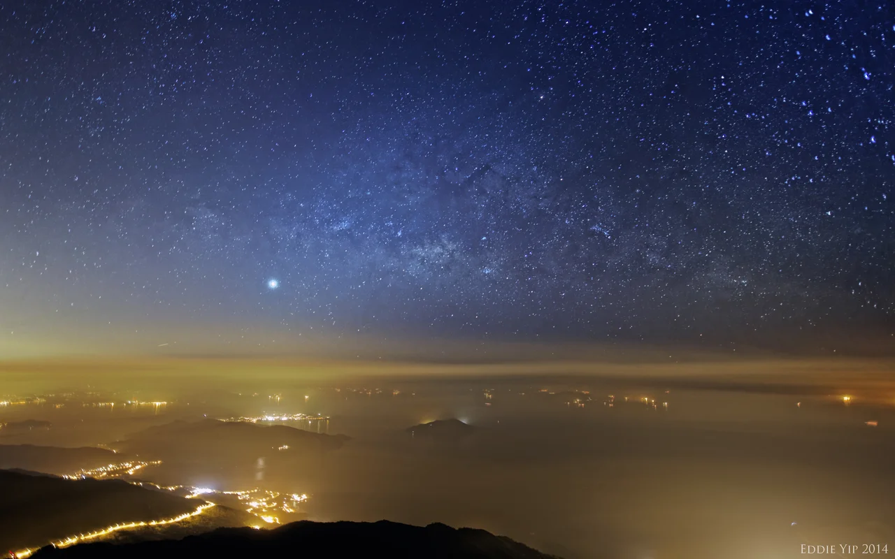

Lantau Peak
The Chinese named it Fung Wong Shan — Phoenix Mountain — and split it between genders. The taller summit is Fung Fung, the male phoenix; the slightly lower peak beside it is Wong Fung, the female. Together they form one mountain, 934 metres above sea level, standing at the centre of Lantau Island like the spine everything else is built around. The name carries a different kind of weight than the English 'Lantau Peak' does: phoenixes rise, they endure, they are reborn. For the people who climb this mountain before dawn to watch the sun come up over the South China Sea, the name makes sense.
Born from Volcanoes
Lantau Peak is not granite. Walk the highest ridgelines of Hong Kong and you will find two kinds of mountains: the shorter ones, rounded by erosion of older granitic rock, and the taller ones, formed from volcanic material. Lantau Peak belongs to the second category. Its flanks are porphyritic rhyolites — fine-grained volcanic rock embedded with larger crystals — laid down in eruptions that predate the island's current shape by tens of millions of years. Tai Mo Shan, Hong Kong's highest peak at 957 metres, is formed the same way.
From the summit, Tung Chung River begins its descent toward the sea. The peak feeds the watershed. Every stream running north from these slopes toward Tung Chung Bay carries water that started here, seeping through volcanic rock before gathering into channels that reach the coast.
The Wisdom Path and the Trail Below
At the foot of the mountain — before the steep sections that separate day walkers from committed hikers — stands the Wisdom Path. Twenty-three wooden columns, each inscribed with a verse from the Heart Sutra, are arranged in a figure-eight pattern on the hillside, linking the ascent to Lantau Peak with the Po Lin Monastery and the Tian Tan Buddha on the Ngong Ping Plateau below.
The Lantau Trail passes through this terrain. Stage 3 of the trail climbs from Pak Kung Au to the Ngong Ping area, and the upper sections bring hikers close to the summit. The trail markers — distance posts spaced roughly every 500 metres — measure out the altitude gain systematically. On a clear day, Sunset Peak (Tai Tung Shan) is visible to the east; at 869 metres, it is the second-highest point on Lantau, and the two peaks are separated by a high ridge that the trail traverses.
Dawn on the Phoenix Summit
Lantau Peak has a specific reputation among Hong Kong hikers: it is a mountain people climb at night. The approach by headlamp takes two to three hours depending on the route; the reward is arriving at the summit before sunrise. When conditions are right — low humidity, air clear enough to carry distance — the view from 934 metres extends across the Pearl River Delta, over the South China Sea, and down to the green hills of Macau on the far horizon.
The cloud inversion is the other spectacle. When warm, moist air from the sea meets the cooler air above, clouds form below the summit and fill the valleys. From the top, the peaks of neighbouring islands protrude like islands above a white sea. Sunset Peak, the Tsing Ma Bridge, the towers of Central — all can be below the cloud line while the summit remains in clear air. It is the kind of view that makes the pre-dawn alarm feel worthwhile.
A Mountain in a City
What makes Lantau Peak unusual among mountains of comparable height is its proximity to urban infrastructure. Hong Kong International Airport (VHHH) — one of the busiest airports in the world — operates roughly 15 kilometres to the north. The Ngong Ping 360 cable car ascends the northern slopes from Tung Chung. The Big Buddha statue, 26 metres of bronze on the Ngong Ping Plateau, is visible from the upper trail. And yet the summit itself is quiet. The terrain around Lantau Peak is protected within Lantau South Country Park, which covers much of the island's rugged interior.
The mountain sits 23 metres lower than Tai Mo Shan in the New Territories, making it Hong Kong's second-highest peak overall. But on Lantau Island, nothing is higher. The Phoenix Mountain, male and female together, holds that distinction alone.
From the Air
Lantau Peak (Fung Wong Shan) is located at approximately 22.245°N, 113.917°E in the centre of Lantau Island. At 934 metres (3,064 feet) MSL, it is the primary terrain obstacle on Lantau and must be given significant vertical clearance. Hong Kong International Airport (VHHH) lies approximately 15 km to the north-northwest. The peak is situated within Lantau South Country Park; the Ngong Ping Plateau and its cable car station are visible on the northern slopes below the summit. Pilots flying between VHHH and Macau (VMMC) or Guangzhou (ZGGG) should account for the mountain's position in their routing. Recommended viewing altitude: 6,000–8,000 feet from the south or southeast for the full summit profile.
Nearby Stories
- Lok Ma Chau Loop 2.3 km away
- Portas do Cerco 2.3 km away
- Kweilin Incident 17 km away
- Wanshan Archipelago Campaign 34 km away
- Nanxiong Formation 115 km away
- Battle of Nanpeng Island 148 km away
- Heyuan 169 km away
- Cape Maobitou 632 km away