Lauwerzijl
The name is a fossil. Zijl is the old Dutch word for a small drainage lock, and Lauwerzijl translates roughly as 'the lock on the Lauwers,' which used to be exactly what was here: a wooden lock built in 1754, set on the brackish river that fed the great tidal Lauwers Sea to the north. The lock is gone. It was demolished around 1878 when engineers diked in another stretch of coastal land and pushed the shoreline a kilometer and a half further away. The village kept the name. So now 195 people live in a place whose identity is built around a piece of infrastructure that has not existed for a century and a half, and around a sea that itself was closed off in 1969 and became a freshwater lake.
How a Coast Walks Away
What was once the muddy edge of the Wadden Sea here is now reclaimed farmland for kilometers in every direction. Every generation took back a little more of the water. The Lauwers river ran into a tidal bay; the bay was nibbled at by polders; the polders pushed the lock at Lauwerzijl further from useful water until in the late 1870s a new perimeter dike between Nittershoek and Zoutkamp made the old lock pointless and it was pulled down. Around the same time, a wooden bridge went up 100 meters west of where the lock had stood, then a stone bridge sometime in the 20th century, and the current bridge in 2004. Each replacement was a small acknowledgment that the geography here is not fixed. The Dutch have been editing this map for a thousand years and have not stopped.
City Farms on Reclaimed Land
In 1877, the area around Lauwerzijl was enlarged by the reclamation of a new polder, the Nieuwe Ruigezandsterpolder, and the city of Groningen, which owned the land, set up seven farms across it numbered 'plaats 1' through 'plaats 7.' Five of these stood on the Stadsweg, the same road the village began to grow along. In 1879 the first proper house went up beside the now-defunct lock, doubling as a shop and a cafe and a passage for travelers. Because the city farms needed agricultural workers, Groningen offered cheap land to draw families in. The school finally arrived in 1922. The village never really grew beyond a few hundred. It is what a Dutch land-reclamation village looks like at its smallest scale: a road, a row of houses, a school, a few farms, all on ground that a generation earlier had been salt marsh.
The Queen's Staircase
In 1929 Queen Wilhelmina came to visit. The occasion was further land reclamation in the Lauwerszee, a kilometer and a half north of the village, and a small wooden staircase was built into the dike so the Queen could climb to the top to inspect the new work. The staircase is still there. It bears the name Koninginnetrap, the Queen's staircase, and it has stayed put through all the subsequent changes to the landscape, including the closure of the Lauwers Sea itself in 1969 that turned what the Queen had stood looking out across into freshwater national park. The polder she came to inaugurate is now ordinary farmland. The staircase is now a small, slightly disproportionate monument to a moment when monarchy and engineering felt momentous in this corner of Groningen.
A School That Closed
The village school, CBS 't Sielje, taught Lauwerzijl's children from 1922 until 1999. By the end, fewer than 30 students were enrolled in any year, and the school finally merged with CBS De Regenboog in nearby Grijpskerk. This is a familiar story across the Dutch rural north: villages that grew up around a particular labor economy lose the children when that economy modernizes, and the institutions that came with the children, the schools and the small shops and the post offices, follow. What remains in Lauwerzijl is the village interest association, which still negotiates with the municipality and the province on the practical questions of how a place this small keeps its bus stop and its road maintenance and its connection to the wider world. The lock that named the village is gone. So is the sea it locked out. The village holds on.
From the Air
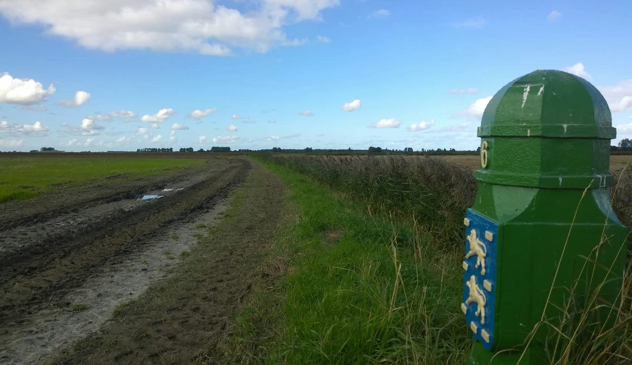
Coordinates 53.311N, 6.296E. Lauwerzijl sits in the heavily diked agricultural country south of the Lauwersmeer, and is best viewed from 2,000-4,000 ft AGL where the geometric patterns of reclaimed polders show clearly against the curving line of the old Lauwers river. The Koninginnetrap dike is visible on the southern shore of the Lauwersmeer about 1.5 km north of the village. Groningen Eelde (EHGG) lies 30 km southeast; the Lauwersoog harbor at the mouth of the closed bay is 15 km north. Late-afternoon low sun reveals the relief of old dike lines that are otherwise nearly flat.
Nearby Stories
- Eems Canal 9.6 km away
- Gorredijk 11 km away
- Súdwest-Fryslân 11 km away
- Liauckamastate 17 km away
- Veenkoloniën 18 km away
- Schule am Meer 20 km away
- HVDC DolWin1 46 km away
- West Sole Gas Field 295 km away