
Laxton, Nottinghamshire
A 1635 manuscript map sits in the Bodleian Library at Oxford. It was drawn by Mark Pierce, who walked the parish of Laxton in Nottinghamshire and recorded every strip of arable land in every open field, every furlong, every headland and balk. If you took that map to Laxton today and stood in the South Field with it in your hand, you would still be able to find your way. The Mill Field, the South Field, and the West Field still exist. They are still divided into strips. The strips are still worked in common by the farmers of the village, who still answer to a Court Leet that meets each year to enforce the boundaries. Nowhere else in England does this happen.
What Medieval Farming Actually Looked Like
Before the enclosures of the 17th, 18th, and 19th centuries swept the English countryside into the neat hedged fields we now think of as timeless, most villages farmed their arable in common. The land was divided into two or three or four great unhedged fields. Each field was split into long narrow strips called selions or lands. Each tenant farmer worked a scatter of strips across all the fields, so that no one held all the good ground and no one held all the bad. A village court - a court leet, descended from manorial assemblies of the early medieval period - set the rules: when to plough, when to harvest, when to turn the stock onto the stubble. The system was old when Domesday recorded it in 1086, and Laxton appears in that book as Laxintone, a name that may come from Anglo-Saxon Leaxingatūn, the farmstead of the people of a man called Leaxa. It is possibly the source, by way of a colonial Massachusetts village, of every Lexington in the United States.
The Last One Working
Three open fields remain at Laxton - Mill Field, South Field, and West Field. A fourth, the East Field, was enclosed in earlier centuries and is now a patchwork of small holdings. The strips themselves have changed over time: in the Middle Ages a single strip represented roughly a day's ploughing, and modern tractors would find such parcels comically small, so strips have been consolidated into more workable sizes. The principle, however, is unchanged. The farmers of Laxton work their scattered strips alongside their neighbours' scattered strips, rotating crops on the medieval pattern, with the Court Leet and its jury keeping the system honest. Four areas of permanent grassland, called the sykes, hold Site of Special Scientific Interest status. The whole arrangement was further secured in 2020 when the Thoresby Estate repurchased Laxton from the Crown Estate and gave a parliamentary undertaking to preserve the open fields. Royal Mail put the strips on a postage stamp in 1999, designed by David Tress, as part of the Millennium series.
Not a Museum
It is tempting, when you read about Laxton, to imagine a heritage exhibit - a village preserved in aspic, like one of those reconstructed Iron Age roundhouses school groups visit. Laxton is the opposite of that. The farmers here own land outside the open fields as well, and they need the open fields to pay. The system is not running as a demonstration; it is running because the people running it depend on it. The 2021 census recorded 251 people in the parish of Laxton and Moorhouse. Most of the village's buildings sit in the local vernacular tradition. Nearly a fifth date from the 18th century, with the rest evenly split between the 19th and 20th. The earliest standing structure after St Michael the Archangel's Church - which is mostly 12th century - is a farmhouse of 1703. The remains of a Norman motte and bailey castle sit on the village's edge, surrounded by the bumps and dips of medieval fish ponds and ridge-and-furrow earthworks that nowhere else are so legible because nowhere else has the land been farmed so long without being ploughed flat by enclosure.
The Court Still Meets
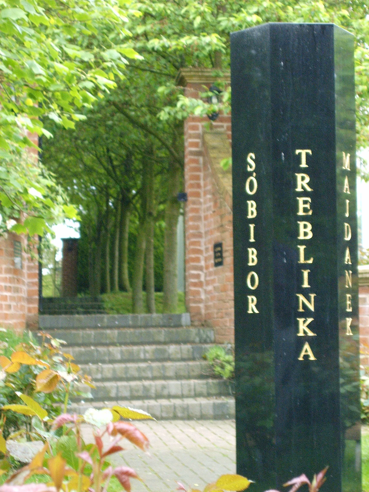
Once a year the Court Leet still sits, examines the state of the boundaries, hears the complaints of farmers whose neighbours have ploughed an inch too far, and makes its rulings. Television has come twice to film the spectacle - Terry Jones' Medieval Lives in 2004, Michael Wood's Story of England in 2010 - and each time the producers have had to remind their audience that what they are watching is not a re-enactment. It is just the meeting. The village is also home to the National Holocaust Centre, opened in 1995 as Beth Shalom in the converted farm of the Smith brothers, who had returned from a visit to Yad Vashem in Jerusalem determined to build something similar in Britain. It was the first place in this country dedicated to teaching the Holocaust as its primary purpose. The pairing is unexpected: a medieval farming system whose memory reaches back nine centuries, and a memorial that insists on remembering the most recent and most documented horror in European history. Both are about what the past will continue to ask of the present, and Laxton has chosen to keep answering.
From the Air
Located at 53.20°N, 0.92°W in central Nottinghamshire, about 25 miles north-east of Nottingham, on rolling farmland east of Sherwood Forest. Nearest airports: East Midlands (EGNX) 27 nm SW, Doncaster Sheffield (EGCN) 23 nm NW, Humberside (EGNJ) 32 nm NE. From 3,000-5,000 ft on a clear day the open field pattern is the most striking thing - long parallel strips visible in the texture of crops, surrounded by enclosed countryside that does not match. The medieval pattern is genuinely visible from the air. Approach via the A1 to Tuxford then east on minor roads.
Nearby Stories
- Belvoir Castle 6.7 km away
- RAF Binbrook 9.5 km away
- RAF Finningley 9.9 km away
- National Tramway Museum 11 km away
- Wentworth Castle 12 km away
- Repton Abbey 12 km away
- RAF Coningsby 15 km away
- Chain Bridge Forge, Spalding 19 km away