.jpg)
The Town That Splits a Nation
Pull up a map of Brunei and something looks wrong. The tiny sultanate on Borneo's northwest coast appears to have been cut in two, its eastern Temburong district severed from the main body by a strip of Malaysian territory. That strip is Limbang -- a river town of roughly 57,000 people in Sarawak that has been the subject of territorial claims, colonial annexation, and armed revolt for nearly a century and a half. To drive from one half of Brunei to the other by land, you must pass through Limbang, stamping your passport at border checkpoints on either side. It is a town defined by what it divides.
The White Rajah's Gambit
Limbang's contested status dates to 1884, when local residents rebelled against punishing taxes levied by the Bruneian Empire. William Hood Treacher, the British governor of North Borneo, saw opportunity in the unrest and sailed to Brunei aboard H.M.S. Pegasus to mediate. He brokered peace -- but also leased additional territories from the sultan for $3,000 a year. The Brooke government of Sarawak, alarmed by Treacher's expansionism, sent its own representative to demand concessions. Under pressure, Brunei's Temenggong Hashim ceded the Trusan area to Sarawak, though Sultan Mumin never consented. On 17 March 1890, Rajah Charles Brooke annexed Limbang outright, and the sultan's protests went unheeded. Sultan Hashim continued contesting the seizure until his death in 1906. His successors raised the Limbang claim again in 1951, 1963, and 1973.
Seven Days in December
Limbang's most violent chapter came during the Brunei Revolt of 1962. On 9 December, militants of the North Kalimantan National Army seized the town, imprisoning the British Resident, his wife, and twelve others, and announcing they would hang their captives on the 12th. The task of rescue fell to L Company, 42 Commando Royal Marines, commanded by Captain Jeremy Moore. Deployed from the commando carrier HMS Albion, the Marines approached Limbang at dawn on flat-bottomed lighters. The sound of their engines cost them surprise. Heavy fire erupted from the police station, where the rebel leader Salleh bin Sambas manned a Bren gun himself. Five Marines died and eight were wounded in the assault, but the hostages were freed. Salleh was captured six months later and sentenced to fifteen years in Kuching Central Prison.
A Passport to Buy Groceries
Limbang's geography produces absurdities that its residents navigate daily. The town is completely cut off from the rest of Sarawak's road network. Every road out of the district passes through Brunei, which means a passport is required to leave town by car. Two immigration checkpoints -- Tedungan to the west and Pandaruan to the east -- process travelers crossing into Brunei's territory. The Pandaruan crossing, once accessible only by ferry, gained a bridge in December 2013. For Limbang's residents, international borders are not abstractions encountered at airports. They are the infrastructure of routine errands, the checkpoints between home and the nearest Malaysian city connected by road.
Rice Bowl and Rainforest
Before the colonial carve-up, Limbang served as Brunei's rice bowl, supplying cheap agricultural produce to the sultanate. The river that gives the town its name -- replacing the older settlement name Pangkalan Tarap, derived from a local fruit -- still defines the landscape, winding through equatorial rainforest under monsoon skies. The climate is relentlessly wet and warm, governed by the Intertropical Convergence Zone rather than trade winds. The town's ethnic tapestry is equally lush: Bisaya, Lun Bawang, Iban, Malay, Orang Ulu, Kedayan, and Chinese communities coexist, their diversity reflected in a Friday market called Pasar Tamu where villagers sell produce that draws buyers from as far as Brunei.
Borders Still in Pencil
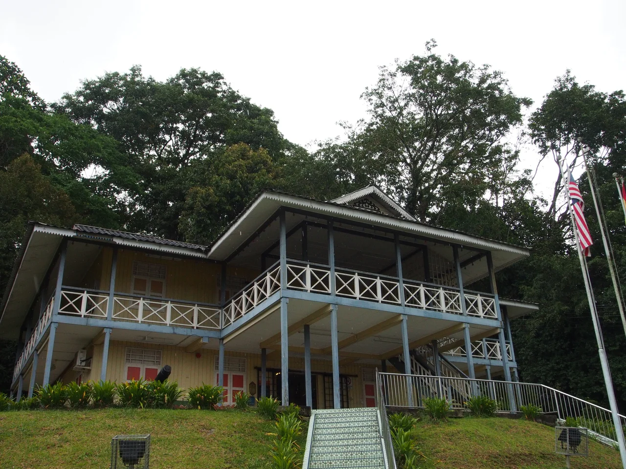
The question of who Limbang belongs to has never fully been settled. In 2009, Malaysia and Brunei reached a landmark agreement on maritime boundaries, with Malaysia conceding Brunei's rights to the Kikeh oil fields in exchange for revenue-sharing arrangements. The land border was to follow five agreements signed between 1920 and 1939, with remaining sections determined by watershed demarcation. Malaysia's foreign minister declared the principles would place Limbang firmly within Malaysian borders. Brunei's minister of foreign affairs denied that any claim had been dropped. As of 2023, final demarcation remains incomplete. In the town's old fort -- built by Rajah Charles Brooke in 1897, now home to the Limbang Regional Museum -- the colonial past is preserved in timber and stone, a reminder that the lines drawn on maps here have always been provisional.
From the Air
Coordinates: 4.759N, 115.007E. Limbang sits along the Limbang River in a narrow strip of Malaysian territory visible from the air as a gap between Brunei's two halves. Limbang Airport (WBGJ) serves the town with a single runway handling turboprops. Brunei International Airport (WBSB) is approximately 30 km to the west-northwest. From altitude, the international borders are invisible, but the contrast between Limbang's modest townscape and Brunei's more developed areas on either side is apparent. The Limbang River provides a clear visual reference, snaking through dense tropical vegetation. Best viewed at 3,000-5,000 feet to appreciate the geographic anomaly of this territory splitting Brunei in two.
Nearby Stories
- Where the River Meets the Sea 6.6 km away
- USS Salute: The Minesweeper That Found the Last Mine 7.2 km away
- The Green Jewel You Can Only Reach by River 13 km away
- The Dragon's Lake 16 km away
- Sabah State Railway 29 km away
- Starcevich Monument 57 km away
- Raid on Kalabakan 203 km away
- Luconia Shoals 245 km away