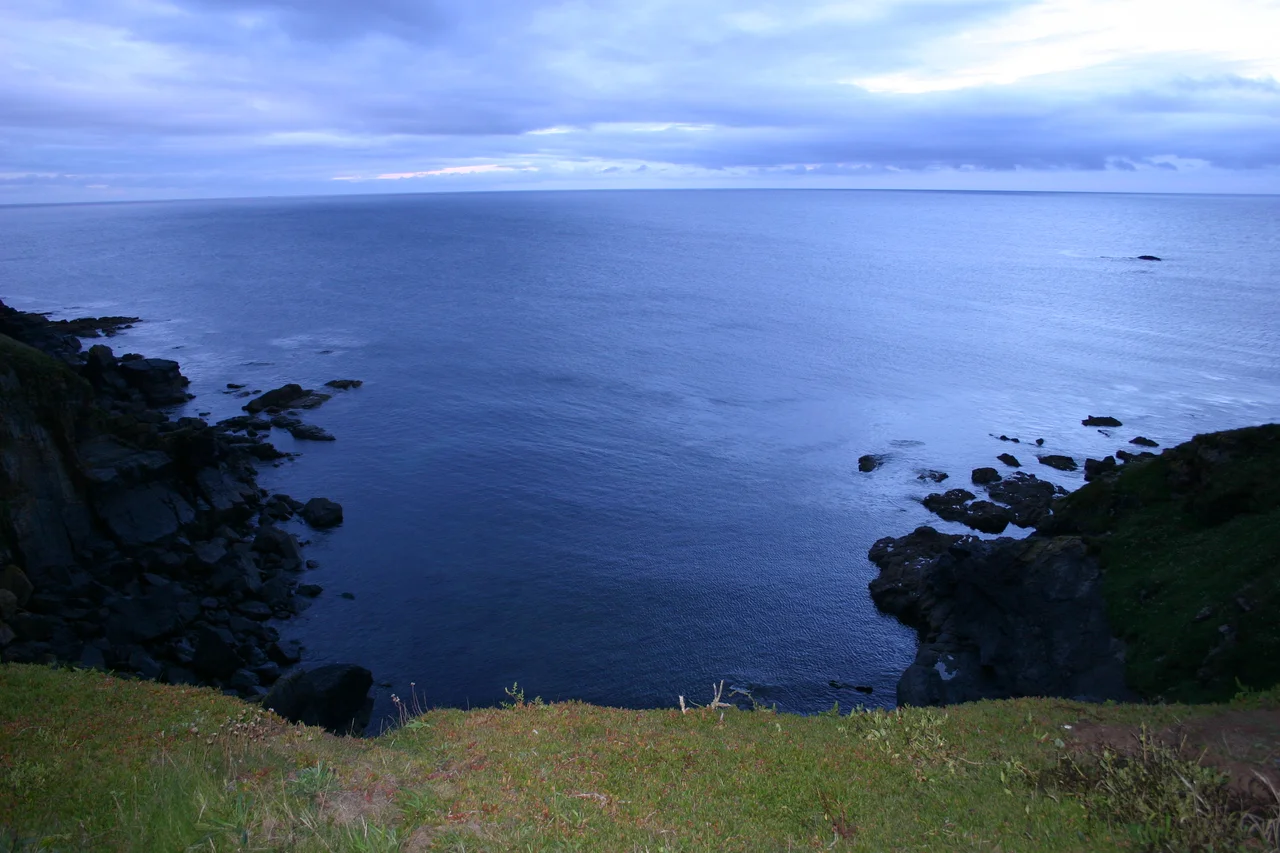

Lizard Point
From the cliff at Lizard Point on 29 July 1588, around three in the afternoon, watchers saw something none of them had been trained to expect: the Spanish Armada, in formation, materialising out of the Atlantic. It was the first sighting of the invading fleet from mainland Britain. The news travelled north along the beacons, and within hours England knew it was at war. Lizard Point has been the country's southern eye on the sea ever since - a strategic lookout, a gateway, a hazard, and for an unlucky procession of ships, a final resting place.
Britain's Southern Edge
At 49 degrees 57 minutes 30 seconds north, Lizard Point is the most southerly piece of mainland Great Britain - a half-mile south of Lizard village, in the parish of Landewednack, about 18 km southeast of Helston. For ships outbound from Plymouth, Falmouth, or Southampton it is often the official start of an ocean passage: 'departure from the Lizard' is a phrase still used in passage logs. For ships inbound, it is the first England they see. The geology underfoot is famous in its own right. The Lizard is interpreted as an ophiolite - a chunk of ancient ocean floor obducted onto the continent - and the serpentine that gives the peninsula its colour also gives Cornwall a small craft industry. Carved serpentine objects, from ornaments to the pump handles at the Five Pilchards pub in Porthallow, are made from rock that once lay deep below an ancient sea.
The Day in 1707
On 21 October 1707, English and French squadrons clashed off the Point in what naval historians call the Battle at the Lizard, an engagement of the long War of the Spanish Succession. The Channel here is brutally narrow on the strategic map, and almost any fleet trying to enter or leave the western approaches must pass within sight of these cliffs. That same geography has made the Point a graveyard. Currents, fog, the Stag Rocks just offshore, and the Maenheere Reef have taken ship after ship. The Lizard's southern coast became, in 19th-century sailors' shorthand, a place you tried very hard not to be.
The Crew of the Ardgarry
On the night of 29 December 1962, the 1,074-ton coaster Ardgarry, carrying coal from Swansea to Rouen, met a storm off Lizard Point with waves over 9 metres high. She went down with all twelve of her crew. Six of them were from Northern Ireland, five from Scotland, one from Donegal. None of the bodies were ever recovered. The Ardgarry herself was found again in 2006 on the seabed, and her bell was raised; in August 2008 the families gathered for a memorial service at the Point above where their fathers and brothers had drowned. A different and stranger loss came on 15 January 2004 when the French trawler Bugaled Breizh - the name means 'child of Brittany' - sank off the Point with five aboard. French investigators raised the possibility that her nets had snagged a British or Dutch submarine during NATO exercises. The cause has never been settled to everyone's satisfaction.
The Greatest RNLI Rescue
The story that locals tell first, though, is the Suevic. On 17 March 1907, the 12,000-tonne White Star liner SS Suevic struck the Maenheere Reef near Lizard Point in a strong gale and dense fog. There were 523 passengers and crew aboard. RNLI volunteers from The Lizard, Cadgwith, Coverack, and Porthleven rowed open lifeboats out to her again and again for sixteen continuous hours, in conditions that would have justified turning back at any moment. They got everyone off - 456 people, including seventy babies - in what remains the largest rescue in the RNLI's history. Six silver RNLI medals were awarded afterward, two of them to crew members of the Suevic herself. The current Lizard lifeboat station, two miles northeast at Kilcobben Cove, still carries that legacy: a Tyne-class lifeboat housed at the base of the cliff, reached by a funicular line that hauls the crew down from the clifftop car park when the pager goes.
From the Air
Lizard Point sits at 49.966 degrees north, 5.202 degrees west - the southernmost piece of mainland Britain. From the air you can identify it by the lighthouse double-tower complex at the headland, the cliff drop on three sides, and the white scar of Polpeor Cove just to the east. Nearest commercial airport is Newquay (EGHQ), 65 km north. RNAS Culdrose (EGDR, military) is 14 km north - expect Merlin helicopter activity in the area. Best viewed at 1,500 to 4,000 feet; visibility from the air gives you the geography that the sailors saw from the deck.
Nearby Stories
- Logan Rock 3.6 km away
- Polperro 7.4 km away
- Great Wheal Charlotte 10 km away
- Battle of Plymouth (1652) 26 km away
- SS Irma (1905) 30 km away
- Black Swan Project 75 km away
- HMS Affray 77 km away
- 1979 Fastnet Race 100 km away