The Invisible Frontier: Where Asia Ends and Australia Begins
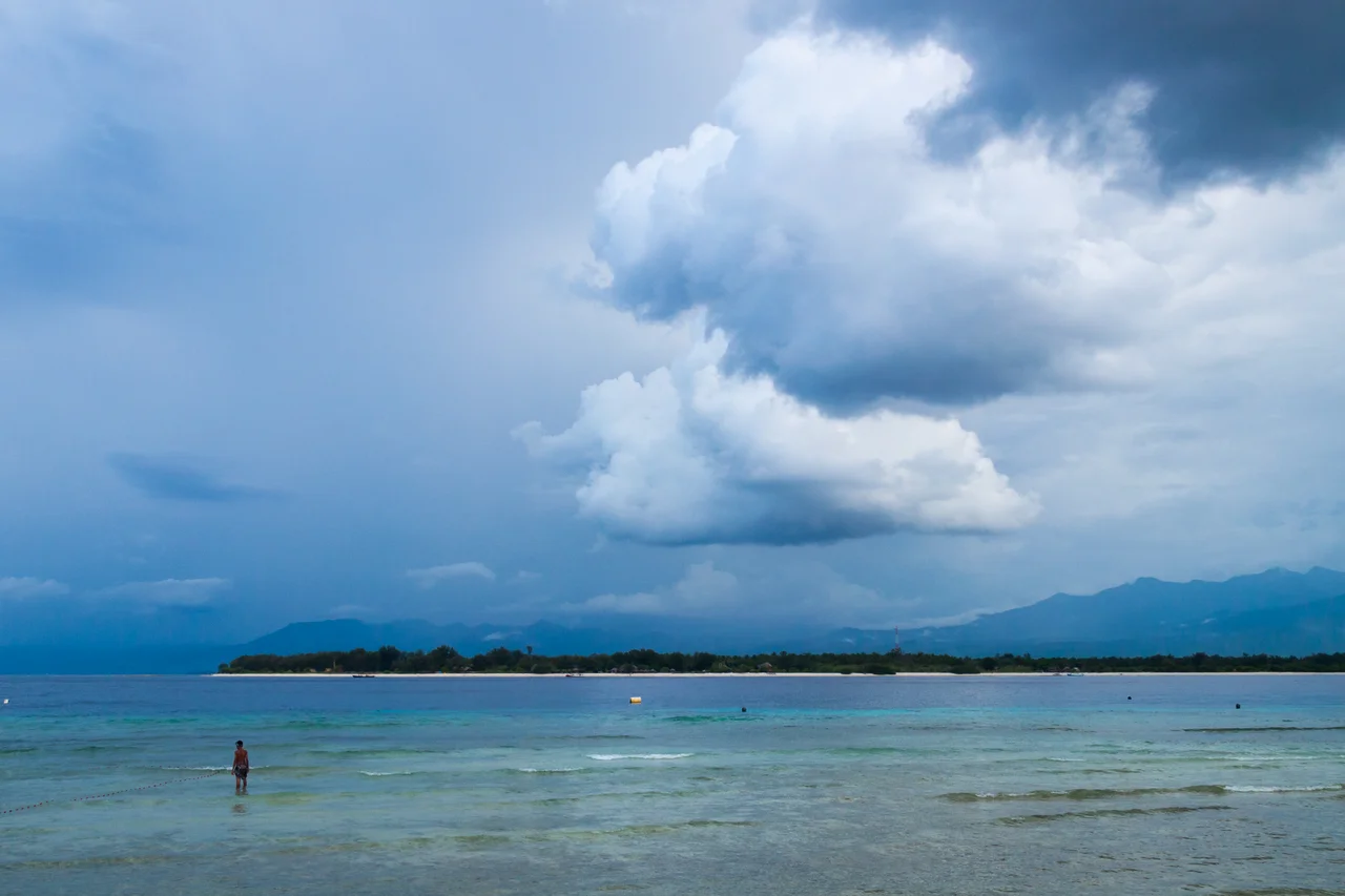
A cockatoo on one side. A woodpecker on the other. Fly across the twenty kilometers of open water at the Lombok Strait's narrowest point and you pass from the realm of Asian wildlife into Australasian territory -- a transition more abrupt than any land border on Earth. Alfred Russel Wallace noticed it in 1856, and the line that bears his name still defines one of biology's sharpest divides. Yet the strait is far more than a curiosity of natural history. At minimum 250 meters deep, it serves as one of Southeast Asia's most important shipping corridors. Its tidal forces drive massive exchanges of water between the Pacific and Indian Oceans. And its coral ecosystems support a marine biodiversity so rich that the region anchors the global tuna fishing industry. All of this in a channel you can cross in under an hour by fast boat.
Wallace's Line
When Alfred Russel Wallace traveled through the Malay Archipelago in the 1850s, he noticed something no naturalist had documented before. The animals on Bali -- tigers, woodpeckers, barbets -- were unmistakably Asian. Cross to Lombok, barely visible across the water, and the fauna shifted dramatically: cockatoos, honeyeaters, marsupials. The transition was not gradual. It was a wall. Wallace proposed that a deep oceanic channel had separated these two biological realms even during ice ages, when lower sea levels connected Bali to the Asian mainland via the Sunda Shelf. He was right. The Lombok Strait's 250-meter depth meant that even at glacial maximum, when sea levels dropped by more than 100 meters, the channel remained a barrier. Bali shared Asian fauna because it was once part of the continent. Lombok and the Lesser Sunda Islands, isolated by deep water, were colonized instead by species drifting westward from Australia and New Guinea.
The Ocean's Conveyor Belt
Beneath the surface traffic of ferries and tankers, the Lombok Strait moves water on a planetary scale. It is one of the primary passages for the Indonesian Throughflow, the massive current system that transfers water from the Pacific Ocean to the Indian Ocean through the Indonesian archipelago. This throughflow influences global climate patterns, carrying warm Pacific water westward and affecting monsoon systems across southern Asia. The strait's tidal dynamics are ferocious. The Nusa Penida Sill, a submarine ridge reaching 350 meters in depth, controls the flow and generates powerful internal tides -- subsurface waves with amplitudes reaching 90 meters. Tidal mixing at the sill is so intense that it creates measurable oscillations in sea surface temperature on a fortnightly cycle, timed to the spring-neap tidal rhythm. For oceanographers, the Lombok Strait is a natural laboratory. For sailors, it is a passage that demands respect.
The Strait of Last Resort
The Strait of Malacca, the traditional highway between the Indian and Pacific Oceans, is choking. At its narrowest point near Singapore, it is just 2.8 kilometers wide, and the volume of shipping passing through it has been growing for decades. Vessels too large to transit Malacca -- so-called post-Malaccamax ships -- already route through the Lombok Strait, which at 20 kilometers across at its narrowest offers vastly more room. The Indonesian government has been positioning the Lombok Strait as an alternative to Malacca for the broader shipping industry, arguing that the older route will be unable to cope with traffic within ten to twenty years. If that shift materializes, Indonesia could become one of the world's largest bunkering ports alongside Singapore. But increased traffic brings its own problems. The International Chamber of Commerce has reported that Indonesia has among the highest incidents of piracy and armed robbery offshore, and the strait already contends with illegal fishing, smuggling, and marine pollution.
Life in the Coral Triangle
The Lombok Strait lies within the Coral Triangle, the roughly six-million-square-kilometer region spanning Indonesia, Malaysia, the Philippines, Papua New Guinea, Timor-Leste, and the Solomon Islands that harbors the highest marine biodiversity on Earth. The strait's position between two oceans, combined with its strong currents, volcanic and limestone substrates, and varied water temperatures, creates an extraordinary range of marine habitats. Divers encounter everything from sandy reef slopes to deep-water drop-offs within a few hundred meters. The waters support rare and endangered whales and dolphins, though their populations face pressure from the fishing activities that dominate the strait -- net entanglement and the destructive practice of reef bombing remain persistent threats. The region also serves as a critical breeding ground for tuna, making the strait foundational to a global fishing industry that feeds hundreds of millions of people. Protecting these resources while accommodating increased shipping traffic is the central tension of the strait's future.
Twenty Kilometers That Changed Everything
From the air, the Lombok Strait is deceptively serene. Bali's green terraced coastline to the west, Lombok's volcanic ridges to the east, the small islands of Nusa Penida, Nusa Lembongan, and Nusa Ceningan scattered across the southern entrance like stepping stones that stop just short of connecting the two shores. The Gili Islands dot the Lombok side to the north. It looks like a gap you could swim across, but the depth and the currents tell a different story. This narrow channel divided two continents of wildlife, channels one of the planet's great ocean currents, and may soon carry a significant fraction of global shipping. Wallace came here in a wooden prau and saw the boundary between two worlds. A century and a half later, the strait remains what it has always been: a place where the scale of what is hidden beneath the surface far exceeds what appears above it.
From the Air
The Lombok Strait (8.50S, 115.83E) runs roughly north-south between Bali and Lombok, approximately 60km long and 20-40km wide. From 10,000-15,000 feet, the full geography is visible: Bali's eastern coast to the west, Lombok with Mount Rinjani (3,726m) to the east, and the islands of Nusa Penida, Nusa Lembongan, and Nusa Ceningan in the southern entrance. The Gili Islands (Gili Trawangan, Gili Meno, Gili Air) are visible off Lombok's northwest coast. Ngurah Rai International Airport (WADD/DPS) lies about 30km west on Bali's southern peninsula. Lombok International Airport (WADL/LOP) is on Lombok's southern coast. Shipping traffic is often visible in the strait, particularly large tankers and container vessels transiting between the Pacific and Indian Oceans. Best visibility in dry season April-October.
Nearby Stories
- Gedong Arca Museum, Bedulu 2.2 km away
- Museum Pasifika 9.1 km away
- Lake Segara Anak 14 km away
- The Village That Speaks in Silence 16 km away
- The Village That Lets Its Dead Return to the Earth 46 km away
- Mandalika: The Racetrack That Summoned a Shaman 52 km away
- The Island Diana Chose 132 km away
- The Island That Shook the World 174 km away