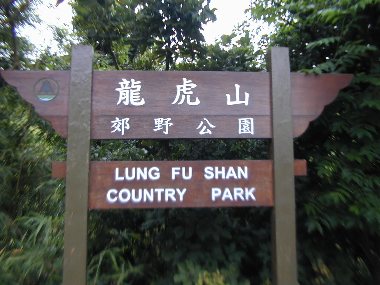

Lung Fu Shan Country Park
Forty-seven hectares is not much. In the language of national parks and wilderness reserves, it barely registers. But Lung Fu Shan Country Park is not trying to be Yellowstone. It is trying to be a breathing space for one of the densest urban areas on earth — and at that, the smallest country park in Hong Kong succeeds with surprising force. Designated on 18 December 1998 as the territory's 23rd country park, it occupies the thickly vegetated slopes of Lung Fu Shan in the Central and Western District, wedged between the residential towers of the Mid-Levels below and the summit of Victoria Peak above. On any given weekday morning, the paths are busy with walkers who have come not for wilderness but for air and quiet and the distant views of Victoria Harbour.
The Smallest Park and Its Daily Crowd
Most country parks ask visitors to travel to reach them. Lung Fu Shan is right there, at the upper edge of the Mid-Levels, reachable on foot from the streets of Central in under thirty minutes. That proximity shapes everything about the park. It is intensively used — morning walkers arrive before dawn, picnickers claim the Pinewood Garden area on weekends, and the Lung Fu Shan Fitness Trail, all 2,750 meters of it, circulates a steady stream of hikers through the day.
The trail begins at Pinewood Garden and winds through the park's interior: past barbecue sites and shelters, up a flight of steps, along a stretch of steep road, before reaching the junction of Harlech Road and Hatton Road at the park's eastern edge. The full circuit takes about sixty minutes at a comfortable pace. It is, in essence, Hong Kong's neighborhood park — just leafier, steeper, and wilder than most cities can claim.
A Battery Grown Over
At the heart of the park sits Pinewood Battery, a disused military installation constructed between 1901 and 1905. The British colonial garrison built it as part of the island's coastal defence network, positioning artillery to command the western approaches to Victoria Harbour. It was decommissioned long before its guns were ever seriously needed, and the jungle has been taking it back ever since.
Today, the Battery is preserved within the park with interpretive signage explaining its historical role. The overgrown staircases and abandoned brick buildings make it one of the more atmospheric sites in Hong Kong — the kind of ruin that rewards slow exploration. The park authority has had to post warnings against wargaming on the site; plastic BB pellets still turn up in the undergrowth, evidence of informal use that the signage has never fully stopped. The crumbling walls don't seem to mind.
A View That Commands the West
Near the upper section of the park, a structure called the View Compass offers a panorama across the western part of the territory. On clear days, the view takes in the towers of Western District dropping toward the harbour, the container ports of Kwai Chung in the distance, and the open water of the Pearl River Estuary beyond. Victoria Harbour stretches east. Lantau Island fills the western horizon.
It is the kind of view that resets perspective. Down in Central, Hong Kong can feel like pure pressure — noise, movement, density without relief. Up here, sixty minutes by foot from the financial district, the city spreads out below and loses its urgency. The park exists, in part, to provide exactly this: a place to look down on all of it from a different altitude.
Counting What Lives Here
The park's Environmental Education Centre, developed in partnership with the University of Hong Kong, runs Citizen Science projects that have begun to map Lung Fu Shan's biodiversity with real precision. The first BioBlitz, held in 2017, brought together 100 participants and volunteers under the guidance of 11 experts. In a single survey event, they recorded 151 species within the park's 47 hectares.
Subsequent BioBlitz surveys expanded the effort, separating observations into four animal groups: birds; butterflies; other insects; and amphibians and reptiles. The cumulative picture that emerges is of a small urban park that nonetheless sustains a dense web of life — partly because the surrounding city is so intensively developed that even a modest green space becomes a refuge. The hill's forested slopes, protected since 1993 when a planning study first identified them as a candidate for country park designation, provide that refuge.
The 23rd Park
The path to designation was methodical. A government planning study in 1993 identified the Lung Fu Shan area as suitable for protection. Five years later, the Country and Marine Parks Authority published a draft map for public inspection in June 1998. By November 1998, the Chief Executive in Council had approved it. The formal designation came on 18 December 1998, making Lung Fu Shan the 23rd country park in Hong Kong — and, at 47 hectares, the smallest by a considerable margin.
That smallness is not a limitation. It is the point. The park's stated mission — to maintain and care for nature through education, working with the university, government, and community — fits its scale. It is not a wilderness reserve. It is an urban green lung, designed for daily use by the people who live just below it. On any morning, they arrive in their hundreds to walk its paths, breathe its air, and look out at the city they live in from a little higher up.
From the Air
Lung Fu Shan Country Park is centered at approximately 22.2773°N, 114.136°E on the northwestern slopes of Hong Kong Island, directly above the Mid-Levels residential district. Flying into VHHH (Hong Kong International Airport) from the west, the island's profile is clearly visible — Lung Fu Shan occupies the mid-elevation ground between the urban density of Central/Western below and Victoria Peak at the summit. The park's forested slopes appear as a distinct green break between the tower blocks. Recommended viewing altitude is 1,500–2,500 feet on a westbound pass along the island's northern shore. The University of Hong Kong campus on the northeastern slopes of the hill serves as a useful aerial landmark.
Nearby Stories
- Lok Ma Chau Loop 2.3 km away
- Portas do Cerco 2.3 km away
- Kweilin Incident 17 km away
- Wanshan Archipelago Campaign 34 km away
- Nanxiong Formation 115 km away
- Battle of Nanpeng Island 148 km away
- Heyuan 169 km away
- Cape Maobitou 632 km away