.jpg)
Twenty-Five Thousand Islands Between Two Worlds
Draw a line on a map between the islands of Bali and Lombok. The strait separating them is only 35 kilometers wide, shallow enough that you might dismiss it as a geographic footnote. But in 1859, the naturalist Alfred Russel Wallace recognized that this narrow channel marked one of the most significant biological boundaries on Earth. West of it, the animals are Asian: monkeys, tigers, woodpeckers. East of it, they are Australian: cockatoos, marsupials, honeyeaters. The Malay Archipelago - over 25,000 islands spread across more than 2 million square kilometers between mainland Southeast Asia and Australia - is the largest archipelago on the planet by area, and the place where Wallace glimpsed an insight that would reshape biogeography forever.
Names Layered Like Coral
No single name has ever stuck. Arab navigators called the people of these islands 'Al-Jawi,' a term that gave rise to the Jawi script still used to write Malay in an adapted Arabic alphabet. European colonizers called the region the 'East Indies,' a label that persisted from the late sixteenth century through centuries of Dutch, Portuguese, and Spanish dominion. The nineteenth-century term 'Malay Archipelago,' drawn from the European concept of a 'Malay race,' was popularized by Wallace's famous 1869 book of that title. Today, the name remains controversial in Indonesia, where it can overshadow the country's remarkable ethnic and cultural diversity. 'Nusantara,' 'Insulindia,' 'Maritime Southeast Asia' - the region has been renamed by every civilization that encountered it, each name revealing as much about the namer as the place.
The Ring of Fire's Greatest Stage
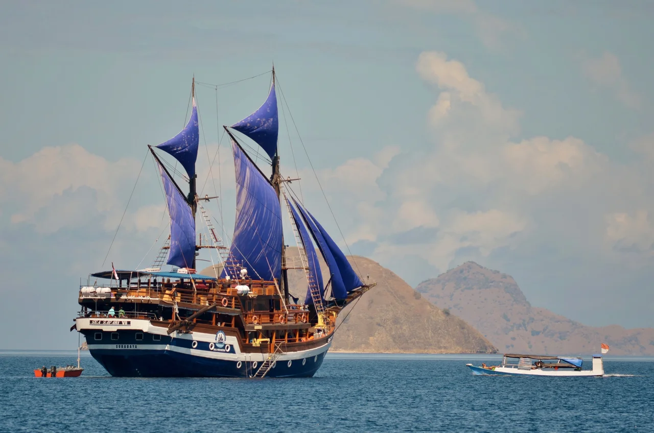
The archipelago spans seven nations: Brunei, East Timor, Indonesia, Malaysia, Papua New Guinea, the Philippines, and Singapore. Its seven largest islands - New Guinea, Borneo, Sumatra, Sulawesi, Java, Luzon, and Mindanao - rank among the biggest on Earth. But what defines this geography is not size; it is instability. The archipelago sits at the collision zone of multiple tectonic plates, making it one of the most volcanically active regions in the world. Volcanoes over 3,000 meters stud Java, Sumatra, and the Lesser Sunda Islands. Tectonic uplift has thrust peaks to staggering heights: Mount Kinabalu in Sabah, Malaysia, reaches 4,095 meters, while Puncak Jaya on Papua rises to 4,884 meters, the highest point between the Himalayas and the Andes. The climate is equatorial throughout - hot, wet, and relentlessly fertile.
Wallace's Line and the Invisible Frontier
Wallace spent eight years traveling the archipelago, from 1854 to 1862, collecting over 125,000 specimens. His great discovery was that the deep-water straits between Borneo and Sulawesi, and between Bali and Lombok, formed a biological boundary more profound than any mountain range. During the ice ages, when sea levels dropped, the western islands sat on the Sunda Shelf and were connected by land to mainland Asia, allowing Asian species to spread freely. The eastern islands, perched on the Australian continental plate, hosted a completely different suite of life. The deep straits between them never dried up, even at the lowest sea levels, creating a permanent barrier. Wallace's Line, as it came to be known, marks the western edge of a transition zone now called Wallacea - a region rich in endemic species found nowhere else, the product of millions of years of isolation between two continental faunas.
Crossroads of Empires
Long before Wallace mapped its biology, the archipelago was a crossroads of commerce. Indian traders brought Hinduism and Buddhism; Arab merchants brought Islam; Chinese navigators wove trade networks through the islands' ports. The spice trade - cloves from the Moluccas, nutmeg from the Banda Islands, pepper from Sumatra - drew Portuguese, Spanish, Dutch, and British fleets into violent competition for control. The Dutch East India Company, or VOC, established dominion over much of the archipelago for nearly two centuries, reshaping economies and societies from Batavia to Ambon. Independence movements in the twentieth century gave rise to modern nations, but the colonial legacy persists in everything from place names to legal systems. The term 'East Indies' itself is a colonial artifact, a reminder that for centuries, Europeans defined this region not by what it was but by what they wanted from it.
A Laboratory of Life
What Wallace understood, and what remains true, is that the Malay Archipelago is not merely a collection of islands but a natural laboratory operating on a planetary scale. Its 25,000 islands host a density of biodiversity that defies their fragmented geography. Indonesia alone contains more species of mammals, birds, and reptiles than nearly any other nation. The isolation that Wallace's Line represents has produced evolutionary experiments in miniature: dwarf elephants on Borneo, giant lizards on Komodo, birds of paradise in Papua whose plumage Wallace described with a wonder he struggled to contain. The archipelago's tropical forests, coral reefs, and volcanic soils sustain ecosystems of extraordinary complexity. To fly over this region is to see what Wallace could only travel by boat - the sheer improbability of so much life scattered across so much water, divided by currents and straits that have shaped evolution as decisively as any continent.
From the Air
The Malay Archipelago extends roughly from 11N to 10S latitude and from 95E to 155E longitude, spanning over 5,000 km from Sumatra to Papua. The article's coordinates center near 2.08S, 126.55E in the Maluku Islands. From cruising altitude, the archipelago's defining features are visible: the volcanic chain of Java and the Lesser Sundas, the massive forested bulk of Borneo and Sumatra, the spider-like shape of Sulawesi, and the scattered Maluku Islands. Major airports include Soekarno-Hatta (WIII) in Jakarta, Ngurah Rai (WADD) in Bali, and Pattimura (WAPP) in Ambon. The Wallace Line runs through the Lombok Strait, visible as the narrow gap between Bali and Lombok.
Nearby Stories
- The Island Nobody Is From 99 km away
- Maluku: A Traveler's Guide to the Spice Islands 121 km away
- Where the Spice Routes Converged 123 km away
- The Island That Imprisoned a Nation's Greatest Writer 132 km away
- The Sea That Swallows Itself 157 km away
- The Islands That Made Wallace Faint 179 km away
- Buyat Bay 343 km away
- Kendari: The Bay That Built a City 408 km away