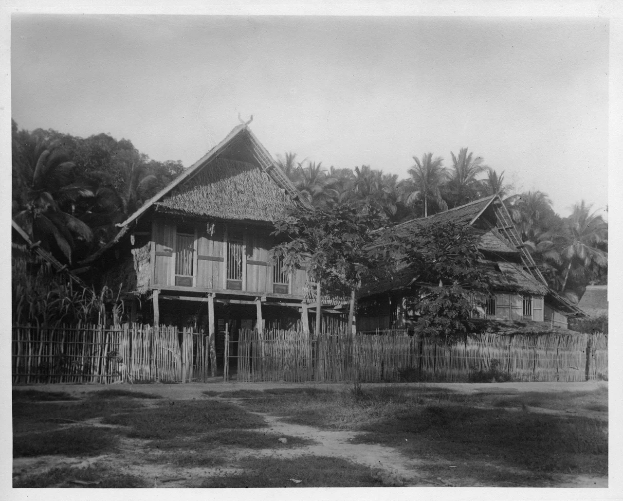
Kendari: The Bay That Built a City
The name comes from a navigational tool. Kendari, the capital of Southeast Sulawesi, takes its identity from the kandai, a device that local fishermen once used to read the waters of the deep bay around which the city grew. When the Dutch explorer Vosmaer sailed into that bay on May 9, 1831, he found what navigators had known for centuries: a natural harbor so well sheltered that the Banda Sea's swells barely rippled its surface. That date became the city's official founding, though the Tolaki and Laiwoi kingdoms had called these shores home long before any European cartographer marked them on a map.
Three Strands of Rattan
The Tolaki people, who make up the largest indigenous group in and around Kendari, organize their world around the kalosara, a sacred symbol woven from three strands of rattan. Each strand represents one pillar of society: custom, religion, and governance, bound together to show that none can stand without the others. The kalosara is not a relic kept behind glass. It appears at weddings, land disputes, peace negotiations, and government ceremonies. When the city erected a gateway at the Kendari-Konawe border, the kalosara symbol crowned it. In a rapidly modernizing Indonesian city of nearly 350,000 people, this woven circle of rattan still carries the weight of law and identity.
A Harbor Fought Over
Kendari's bay made the city worth fighting for. After the Dutch ended their war against the Gowa Sultanate in 1905, they turned their attention to eastern Sulawesi's coast, and in 1908 Dutch troops besieged Puundombi Fort. The Konawe kingdom fell, and the Laiwoi moved their capital to Kendari, consolidating power around the bay. Japanese forces seized the city during the Battle of Kendari in 1942, recognizing the same strategic value the Dutch had seen. When Indonesia declared independence, Kendari became the capital of the newly created Southeast Sulawesi province in 1964. The bay that had drawn traders and conquerors for centuries now anchored a province.
Where the Catch Comes In
Stand at the entrance of the Samudera Fishery Port and you can smell Kendari's economy before you see it. Twenty-seven fish processing companies operate here, making it one of the largest such centers in eastern Indonesia. The catch in 2018 ran to roughly 37,000 tons, dominated by skipjack tuna hauled from the Banda Sea. Beyond the fish docks, Kendari New Port handles container traffic for the entire province, one of only two international container ports on Sulawesi. Agricultural exports flow out alongside the seafood: frozen shrimp, processed cashew nuts, cocoa butter, and raw octopus, shipped primarily to Japan and India. Nearly 4,800 ships called on the city in 2020 alone.
Bridging the Bay
For decades, crossing Kendari Bay meant a half-hour drive around its perimeter, from the old town of Kota Lama in the north to the expanding districts of Poasia in the south. The Kendari Bay Bridge, completed in 2020, collapsed that journey to five minutes across 1.34 kilometers of steel and concrete spanning the water. The bridge did more than save commuting time. It knit together a city that had been growing in two directions, connecting the historic core with the newer residential and government districts spreading south. Haluoleo Airport, formerly Wolter Monginsidi Airport, sits to the south as well, with regular flights to Jakarta and Makassar and plans to expand into an international terminal.
A Library Modeled on Harvard
In 2021, the seven-story Kendari Modern Library opened in Kadia District, a building the provincial government modeled after Harvard's library system. It houses a cinema room, meeting spaces, an area for local artifacts, and a cafe, all serving a city whose school participation rate runs above 99 percent for children aged seven to twelve. Kendari is not a city that appears on many international travel lists, but it is one that invests in its own future. Around 90 percent of its residents belong to indigenous groups: Tolaki, Muna, Buton, and Moronene. The rest are migrants from elsewhere in the archipelago, drawn to a provincial capital still growing into its ambitions.
From the Air
Kendari sits at 3.97S, 122.59E on the eastern coast of Sulawesi's southeastern peninsula. From altitude, the distinctive horseshoe shape of Kendari Bay is unmistakable, with the 1.34 km Kendari Bay Bridge crossing its mouth. Haluoleo Airport (ICAO: WAWW) lies to the southwest. Approach from the east over the Banda Sea for the best view of the bay and city layout. Recommended altitude: 5,000-8,000 feet for city detail, or FL200+ for peninsula context.
Nearby Stories
- Sulawesi's Hidden Wetland: Rawa Aopa Watumohai 18 km away
- The Nickel Furnace of the Electric Future 104 km away
- Wallace's Dreampond: Lake Towuti and Its Living Archive 116 km away
- The Coral Archipelago Spelled Out in Islands 137 km away
- The Language That Borrowed an Alphabet from Across the Sea 139 km away
- The Ninety Minutes of MV Marina Baru 2B 150 km away
- Wakatobi: Four Islands, One Name 193 km away
- The Island That Imprisoned a Nation's Greatest Writer 399 km away