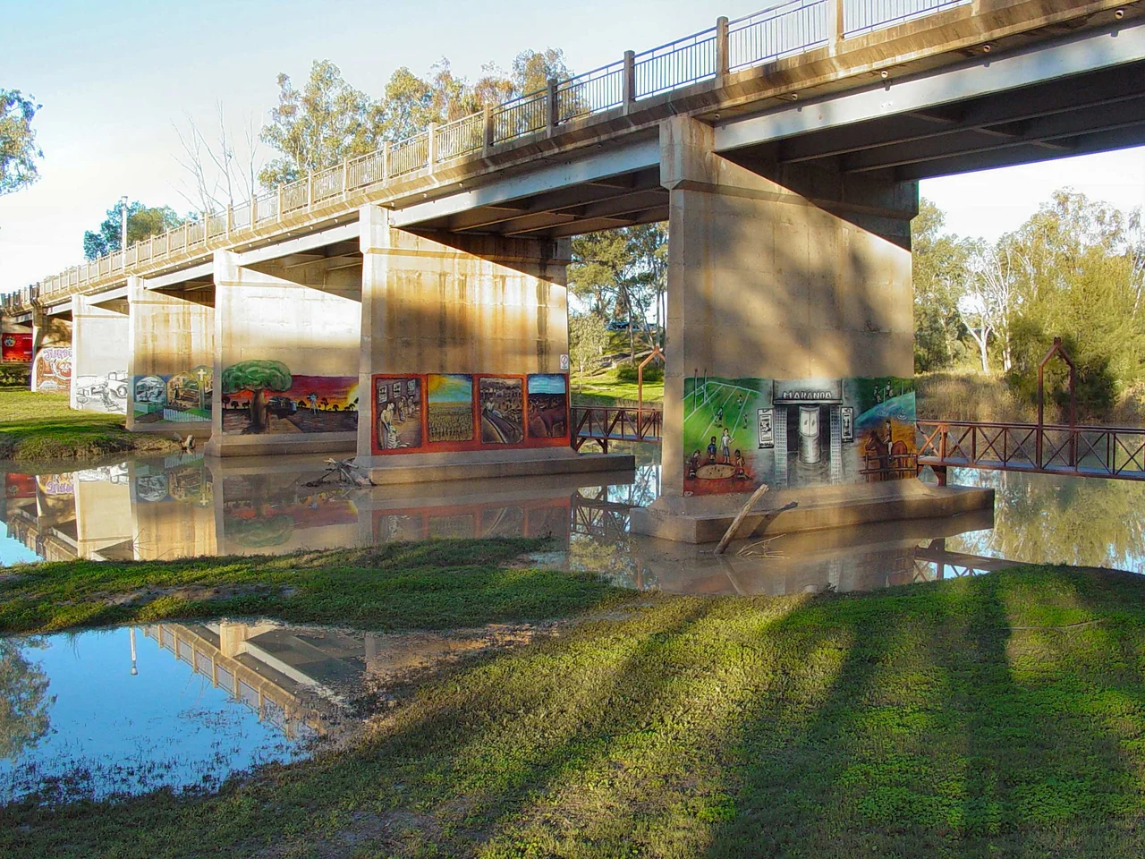

Maranoa, Queensland
Say the name slowly and you can almost hear the bird it came from. When the surveyor Thomas Mitchell rode into this country in May 1846, he asked the local Mandandanji people what they called the river, and the word he wrote down was Maranoa. The accepted reading splices two of their words together: mara, a duck, and ngoa, an egg. A duck-egg river, running brown and slow through some of the flattest, driest, most stubbornly beautiful land in eastern Australia. The name spread outward from the water until it covered a whole region, about 500 kilometres west of Brisbane, where the green of the Darling Downs gives way to silver-grey mulga and the horizon turns into a single unbroken line.
Where the Downs Run Out
The Maranoa is a threshold. To the east lies the rich, cropped farmland of the Darling Downs; to the west, the dry maze of the Channel Country, where rivers spread into braided channels and vanish into the desert. The Maranoa sits between them, an eastern edge of Queensland's enormous, mostly arid South West. Two rivers define it: the Balonne and the Maranoa itself, the region's main catchments, gathering what rain falls across thousands of square kilometres of low country. Three highways stitch it together, the Warrego, the Carnarvon and the Balonne, thin ribbons of bitumen crossing distances that swallow them whole. The towns are small and far apart, Roma the largest, then Mitchell, St George and Goondiwindi, each a punctuation mark in a long, level sentence of grass and scrub.
Mulga and Brigalow
This is rangeland, country shaped for sheep and cattle rather than the plough. The dominant trees tell the story: mulga, a hardy acacia whose leaves graziers cut and drop for stock in drought, and brigalow, the dense scrub that once covered millions of hectares before much of it was cleared for grazing. The climate is sub-tropical and unforgiving, long stretches of heat and dust broken by rain that can turn dry creek beds into temporary lakes. A rural, country life predominates here, organised around the rhythms of livestock and the watching of the sky. Properties are measured not in acres but in square kilometres, and a neighbour can live an hour's drive away across a single fence line.
An Older Country
Long before Mitchell rode through, this was the homeland of Aboriginal peoples whose territories met across the Maranoa's rivers. The Mandandanji, sometimes called the fishing-net people, held a vast tract of country taking in the Maranoa and Balonne north of St George, with Mitchell, Roma and Surat all within their lands. The Gunggari country centres on the Maranoa River and overlaps with the Mandandanji, Kooma, Bidjara and others, a web of nations whose boundaries followed the water. When the surveyors and graziers arrived in the 1840s, they wrote new names over old ones, but in Maranoa the old name survived. Every signpost in the district still carries the memory of a question asked at a riverbank, and the answer a Mandandanji speaker gave: duck, egg, this place.
The Gas Beneath the Grass
For a century and a half the Maranoa's wealth came from wool and beef, drawn slowly from the surface of the land. Then the country gave up a second secret. Beneath the mulga lies coal, and bound within that coal is methane, coal seam gas, locked in the rock for millions of years. Its extraction has reshaped the region in a single generation. Rigs and pipelines have spread across grazing leases, work camps have risen on the edge of quiet towns, and Roma in particular has swelled with the rapid arrival of money, machinery and people. The Maranoa today holds two economies in uneasy balance: the old life of stock and seasons that still defines its character, and a newer, faster industry pulling energy from a kilometre below the duck-egg river.
From the Air
The Maranoa region centres near 26.70 degrees south, 145.87 degrees east, in south-west Queensland roughly 500 km west of Brisbane. From altitude the landscape reads as an almost featureless plain of grey-green mulga and cleared brigalow, threaded by the pale, often dry channels of the Maranoa and Balonne rivers and crossed by the dead-straight lines of the Warrego, Carnarvon and Balonne highways. The town of Roma is the main visual anchor, marked from the air by gas infrastructure and pipeline corridors. Nearest airports are Roma (YROM, elevation about 1,027 ft) to the east and Charleville (YBCV, about 1,003 ft) to the west. Best viewed at medium cruising altitude in the dry season, when clear skies and low humidity sharpen the river lines against the surrounding scrub; expect heat haze and dust on summer afternoons.
Nearby Stories
- Cheepie, Queensland 18 km away
- Wyandra 47 km away
- Yowah 132 km away
- Yapunyah waterhole 132 km away
- Hell Hole Gorge National Park 182 km away
- Carnarvon Gorge 244 km away
- Hornet Bank Massacre 329 km away
- Jimbour Homestead 494 km away