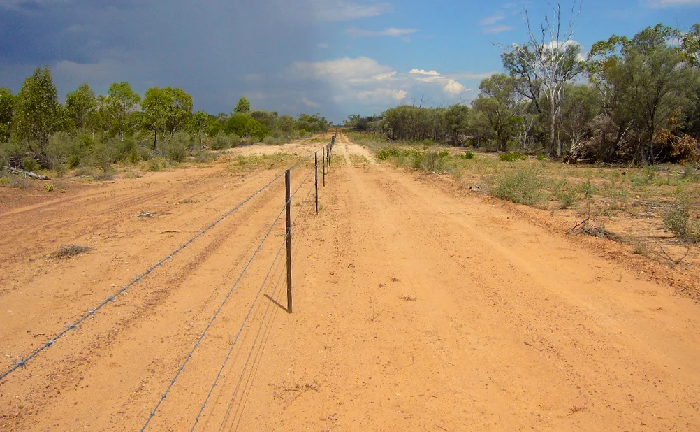

Yapunyah waterhole
Out here, water keeps the score. In the mulga country of western Queensland, where rainfall averages 390 millimetres a year and the sun can lift three or four metres of water into the sky over the same span, most waterholes are temporary guests. Yapunyah is not. Stretching some two kilometres long and swelling to roughly 22 hectares when full, it is one of the rare permanent waterholes of the Lake Eyre Basin - a place that holds its water when nearly everything around it has given up, and shelters life that exists nowhere else on Earth.
A Refuge That Outlasts the Drought
Permanent waterholes are vanishingly rare in the arid heart of the Lake Eyre Basin, and that rarity is precisely what makes Yapunyah extraordinary. When the rivers shrink to a scattered handful of pools during drought, these refuges become the last reservoirs of an entire aquatic world - holding the fish, the turtles, the plants, and the insect life that will repopulate the system when the rains finally return. Permanent waterholes consistently support higher species diversity than their seasonal neighbours, offering stability in a landscape defined by boom and bust. Yapunyah is a genuinely healthy one: no introduced fish, no cane toads, no feral pigs or goats churning its banks. In a country overrun with invaders, it remains remarkably intact - an island of the original Australia.
The Turtle Found Nowhere Else
Yapunyah's most celebrated resident is the Cooper Creek Turtle, a short-necked, side-necked turtle found only in the Lake Eyre Basin and one of the largest of its kind in Australia. The biggest individuals reach over 40 centimetres in length and tip the scales at up to eight kilograms. There is an ecological elegance to where they live: permanent waterholes teem with adults in high densities, semi-permanent pools hold mostly juveniles, and waterholes that dry out hold no turtles at all. The turtles, in other words, are a living gauge of how reliable the water is. At Yapunyah, the adults swim and surface in numbers - a quiet verdict on the permanence of the place.
Wallabies on the Rock Ledges
The water is only half the story; the stone around it matters too. Yapunyah sits in the Grey Range between Adavale and Yaraka, its edges framed by rocky ledges and overhangs. Those ledges are home to yellow-footed rock wallabies, who pick their way down the broken sandstone to drink at the waterhole's margins. In Queensland this animal is a distinct subspecies, clinging to a small triangle of rugged country between Adavale, Blackall and Stonehenge, and it is listed as vulnerable under federal law. Around the water grow mulga, river red gums and ghost gums, with quinine bush and reed grass that belong further east - botanical strays that found a foothold here, in this unlikely oasis.
Guarded by Distance and Goodwill
Yapunyah owes its health to two protections: its sheer remoteness, and the people who choose to look after it. The waterhole sits on a working cattle property, where the landholders have partnered with Desert Channels Queensland to safeguard its biodiversity and cultural heritage. There is no public access - the place is too fragile and too far for casual visitors - but the owners are openly keen to share what they know, hosting study trips and inviting anyone genuinely committed to its protection. These rare waterholes were vital to Aboriginal people long before the cattle came, offering both physical and spiritual sustenance. Much about Yapunyah's ecology remains unstudied, its full inventory of life still uncatalogued. It guards its secrets the way it guards its water - patiently, and against the odds.
From the Air
Yapunyah Waterhole lies at 25.49°S, 144.31°E, in the Grey Range between Adavale and Yaraka, within the Cooper Creek catchment of the Lake Eyre Basin. From the air it appears as a striking ribbon of permanent water - up to two kilometres long - threading through dry mulga woodland, fed by Nutting Creek and connected downstream toward Powell Creek and Hell Hole Gorge. The contrast between the dark water and the surrounding pale, scrubby country makes it a clear navigation reference. Nearest aerodromes are Quilpie (YQLP) to the south and Charleville (YBCV) to the southeast, with Windorah (YWDH) to the west. Recommended viewing altitude is 2,500-4,500 ft. Note there is no public ground access; the waterhole sits on private land. Visibility is best in the dry season.
Nearby Stories
- Yaraka 37 km away
- Welford National Park 37 km away
- Thylungra 59 km away
- Welford Homestead 65 km away
- Blackall Masonic Temple 101 km away
- Cheepie, Queensland 109 km away
- Blackall, Queensland 126 km away
- Tenham (meteorite) 137 km away