
Marazion
Twice a day the sea pulls back from the front street and a paved track appears, climbing out of the water for a few hundred metres to the island opposite. For four hours either side of low tide you can walk it. The rest of the time a boat brings you across. Marazion - granite cottages stepping down to the harbour wall, sailing dinghies pulled up the slipway, Wednesday afternoon lifting fog off Mount's Bay - has been the keeper of this causeway for at least eight hundred years. It is named in Cornish for the market it once held on Thursdays, and the pilgrims who walked across when the tide allowed have been replaced by visitors who do the same thing for different reasons. The choreography of the bay is unchanged.
Thursday Market
The name is the puzzle. Marazion comes from Cornish - probably from marghas meaning market, combined either with bighan (small) or yow (Thursday) depending on which medieval document you trust. Latin charter scribes rendered it Parvum Forum ("Small Market") and later Forum Jovis ("Jove's Market," Thursday being Jove's day in the Roman week). One nineteenth-century theory that the name came from a Jewish quarter - Market Jew - was always linguistically wrong. The earliest record is a late eleventh-century charter from Robert, Count of Mortain, granting the Benedictine priory on St Michael's Mount the right to hold a Thursday market. Strangely, that market was always held on the mainland opposite, not on the island itself. The settlement that grew up around the market took the name. Of the medieval fairs only the Michaelmas Fair survives. The Thursday market is long gone.
The Pilgrims, the Plunderers
Through the Middle Ages, Marazion was the staging point for pilgrims walking to St Michael's Mount. The Benedictines on the Mount maintained the chapel, the relics, the standard processional route. Pilgrims arrived by road from across England, slept in Marazion inns, waited for low tide, walked the causeway to the priory. The Reformation killed the trade. When Henry VIII dissolved the religious houses in the 1530s, pilgrimage stopped almost overnight, and Marazion lost its principal industry. Then came the raids. In 1513 the French burned the town. In 1549 it was sacked again, this time by Cornish rebels passing through during the Prayer Book Rebellion. Marazion shrank into the small port town it has been ever since.
A Borough for 271 Years
In 1595, Elizabeth I incorporated Marazion as a borough by royal charter. It was an unusual honour for so small a place, and it brought modest privileges: the right to elect a corporation, to hold courts, and (briefly during the Commonwealth period of the 1650s) to send two members to Parliament. The first MPs elected in 1658, Richard Myll and Thomas Westlake, were prevented from taking their seats by their own constituents - the townspeople petitioned that the borough could not afford to pay their parliamentary expenses. By 1835 a government commission concluded that Marazion was too small to be reformed under the new Municipal Corporations Act. The borough was abolished in 1886, its civic regalia transferred to a trust, and the town reverted to the ordinary parish status it holds today.
Last Speakers of Cornish
The Penwith peninsula, including Marazion, was one of the very last places in Cornwall where the Cornish language survived as a spoken community tongue. A native speaker from Marazion called John Nancarrow lived into the 1790s, contemporary with the more famous Dolly Pentreath of Mousehole, who is conventionally cited as the "last speaker" but was not. Letters from this period describe small clusters of native speakers still active in fishing villages around Mount's Bay. The language did not really die; it slipped underground and was reconstructed in the twentieth century from texts and surviving fragments. Today around 500 people speak Cornish fluently and the language has revived status. Walk through Marazion now and you'll see the modern Cornish welcome sign at the parish boundary - a quiet inheritance of those last bilingual fishermen.
The Battleship on the Beach
At the end of the Second World War, the long beach east of Marazion became the breakers' yard for the Royal Navy. Battleships, cruisers and lesser warships that had survived the war but were now obsolete were run aground here and dismantled where they lay. The most famous was HMS Warspite, the great Queen Elizabeth-class battleship that had fought at Jutland in 1916, at Narvik and Cape Matapan in the Second World War, and survived more action than perhaps any other British capital ship of the twentieth century. Sold for scrap in 1947 and being towed to a Scottish breaker's yard, she broke her tow in a storm and was eventually run aground at Marazion, where she was broken up over several years on the sand. Photographs from the early 1950s show the great rusting hull lying off the front street, dwarfing the houses behind. The beach is empty of warships now. Marazion Marsh, the RSPB reserve at the western edge of the town, attracts a different kind of visitor: bitterns, reed warblers, the occasional vagrant hoopoe.
Walking the Causeway
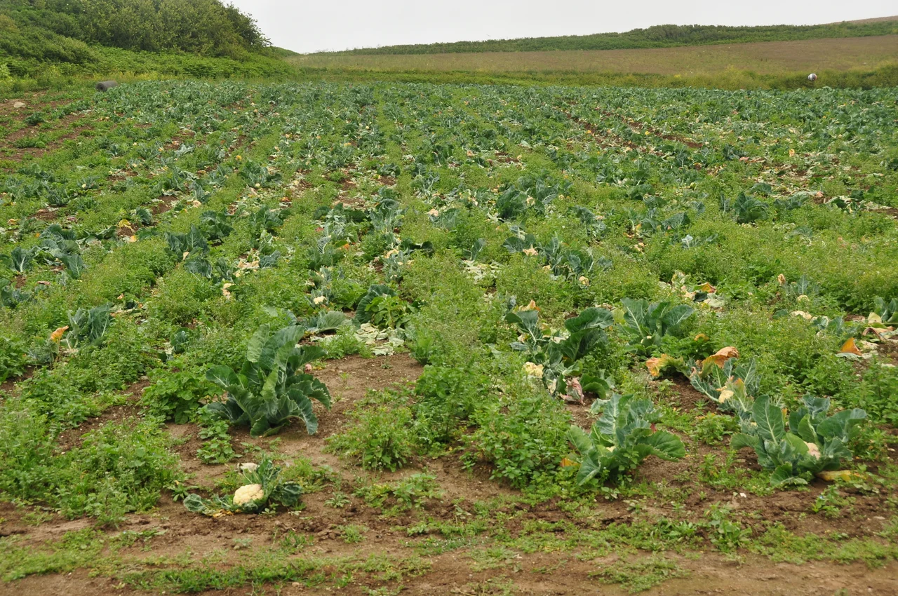
The Cornish Main Line railway, which ran from London Paddington to Penzance, opened Marazion's own station in 1852 to handle the perishable traffic from local farms - early new potatoes, broccoli, fish from Newlyn. The station closed in 1964 but the line still runs past the back of the town, and the Plymouth-Penzance trains rumble through within two hundred metres of the causeway. For most visitors the choreography is simple. Park in Marazion, check the tide tables posted at the harbour, and time the walk. The causeway emerges progressively from the receding sea, a paved spine of granite blocks rising from rock pools and weed-covered shingle. The Mount across the water has been a priory, a fortress, a private home of the St Aubyn family (and still is, leased to the National Trust). Walk it on a clear morning and you understand why people came on foot for nine hundred years.
From the Air
Marazion sits on the north shore of Mount's Bay at 50.125 N, 5.476 W, 2 miles east of Penzance and half a mile from the tidal island of St Michael's Mount. Best approached from the south or east at low altitude to see the causeway emerging at low tide. Land's End (EGHC) is 7 nm west; Newquay (EGHQ) 22 nm north-east. The town and Mount lie within the Cornwall AONB. Marazion Marsh, immediately west of the town, is a RSPB reserve and SSSI - approach quietly to avoid disturbing roosting birds. The South West Coast Path skirts the seafront.
Nearby Stories
- Wadebridge 8.1 km away
- Caerhays Castle 8.1 km away
- Sevenstones Lightship 16 km away
- Battle off Lizard Point 20 km away
- MV Cita 22 km away
- Carnewas and Bedruthan Steps 30 km away
- 1979 Fastnet Race 71 km away
- HMS Affray 108 km away