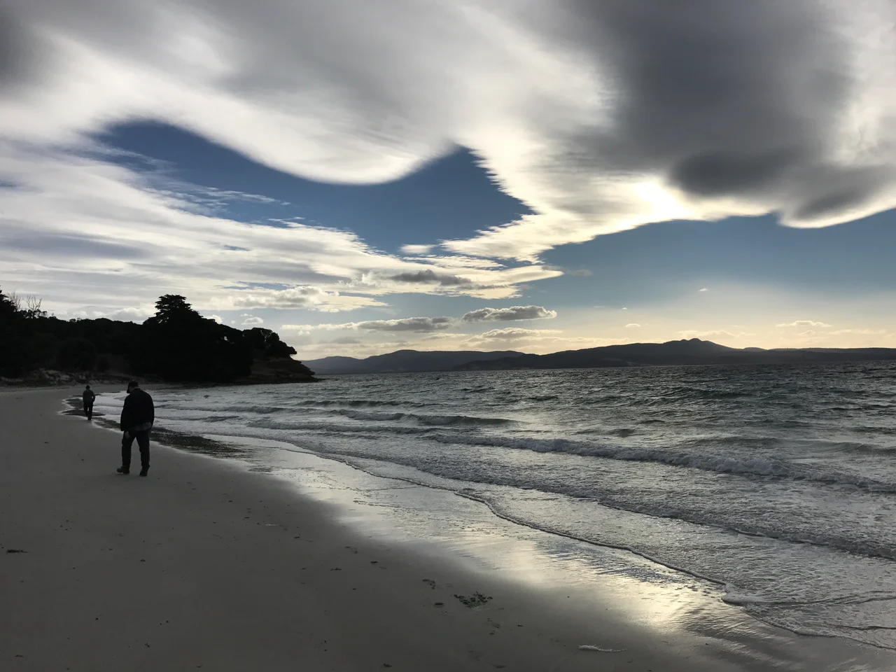

Maria Island
There are no cars on Maria Island, and that absence changes everything. Step off the ferry at Darlington and the loudest sound is wind in the eucalypts and the occasional grunt of a wombat working through the grass. This mountainous island in the Tasman Sea, known in the palawa kani language as wukaluwikiwayna, is now a single national park, roughly 115 square kilometres of figure-eight land joined at the middle by a narrow sandy isthmus. Its quiet is recent. The island has lived through two convict eras, an Italian entrepreneur's grand dreams, decades of farming, and one well-meaning rescue that backfired badly.
The First People and the First Name
Long before any sail appeared on the horizon, Aboriginal people of the Tyreddeme band of the Oyster Bay tribe crossed regularly to the island, and the evidence of their lives still lies thick around the bays on either side of the isthmus. The Dutch explorer Abel Tasman sighted the island in 1642 and named it Maria, after the wife of his patron Anthony van Diemen, the man whose name the whole of Tasmania would carry for two centuries. In 1802 the French scientific expedition of Nicolas Baudin met the island's Aboriginal inhabitants; the expedition's zoologist, René Maugé, died here and was buried on the island's southern point. Two naming traditions, Aboriginal and European, still overlap on every modern map.
Two Sentences of Stone
Maria Island served as a prison twice. The first convict settlement ran from 1825 to 1832, founded for men whose crimes were judged not bad enough for the dreaded Macquarie Harbour. The second, the probation station, ran from 1842 to 1850 and crowded some 600 male convicts into reused and ill-adapted buildings around Darlington. Among the prisoners of that second era was William Smith O'Brien, the Irish nationalist leader transported for the rebellion of 1848. Held at Darlington, he attempted to escape aboard an American whaler, failed, and was moved to Port Arthur. The oldest convict buildings still stand and still work: the Commissariat Store of 1825 is now the visitor centre, the penitentiary completed in 1828 now houses travellers instead of detaining them, and a convict-built dam still supplies Darlington's water nearly two centuries on.
San Diego on the Tasman Sea
In the 1880s a single restless imagination tried to remake the island entirely. The Italian entrepreneur Diego Bernacchi leased Maria Island, renamed Darlington San Diego, and set about producing wine and silk while filling a grand hotel with tourists who came to take the sea air. When that vision faltered, he returned in the 1920s with an even larger plan: a full cement works, fed by limestone from the island's Fossil Cliffs, served by a railway and a 200-foot concrete chimney, employing some 500 people. The town had clubs, dances, a school, and a chapel pressed into service as a cinema. Then the Great Depression and the island's stubborn geology undid it all, and by 1930 the works fell silent. After a final farming era, the Tasmanian Government bought out the families and proclaimed the national park in 1972.
Painted Cliffs and Ancient Seas
The island's natural galleries rival its ruins. At the Painted Cliffs, low sandstone bluffs are stained in honeyed swirls of orange, cream, and rust where iron oxide has bled through the stone over ages, best seen at low tide when the patterns run right down to the waterline. At the opposite end of the spectrum, the Fossil Cliffs are sheer faces of limestone crowded with the shells of creatures that lived in a Permian sea, a wall of deep time you can walk along. Above it all rises Mount Maria at 711 metres, a long day's climb rewarded with a view across the whole figure-eight island and back to mainland Tasmania across the Mercury Passage.
A Sanctuary, and a Hard Lesson
Maria Island has become a kind of ark. Wombats, some of them an unusual blonde colour, graze almost everywhere, alongside Cape Barren geese, kangaroos, and a wealth of birdlife that has earned the island international recognition for its endangered swift parrots and forty-spotted pardalotes. In 2012, conservationists released 15 Tasmanian devils here to build an insurance population safe from the facial tumour disease ravaging the mainland. The devils thrived, but at a cost no one fully foresaw. The island's little penguins, once around 3,000 breeding pairs, vanished entirely. It is a sobering reminder that even a rescue can reshape a place, and that an island sanctuary is a balance, not a guarantee. Today the devils are sometimes glimpsed by overnight visitors who stay in the old penitentiary, sharing a quiet island with the descendants of everything that came before.
From the Air
Maria Island lies at roughly 42.63 degrees S, 148.08 degrees E, off Tasmania's east coast, separated from the mainland by the Mercury Passage. From the air it is a distinctive figure-eight landmass: a larger northern section and smaller southern one pinched together at McRaes Isthmus, with Mount Maria (711 m) the high point in the north and the settlement of Darlington near the northern tip. It makes an excellent coastal waypoint about 70 km north-east of Hobart. The nearest major airport is Hobart International (ICAO YMHB); light-aircraft scenic flights operate from Cambridge Aerodrome (YCBG) near Hobart and from Friendly Beaches to the north. East-coast weather is generally clearer than the south, but expect afternoon sea breezes and the occasional swell-driven haze along the cliffs.
Nearby Stories
- Richmond Bridge 21 km away
- Tessellated Pavement 24 km away
- Cascades Female Factory 29 km away
- Freycinet National Park 36 km away
- Van Diemen's Land 68 km away
- Bundian Way 598 km away
- Parliament House, Canberra 815 km away
- 2003 Fiordland Earthquake 1475 km away