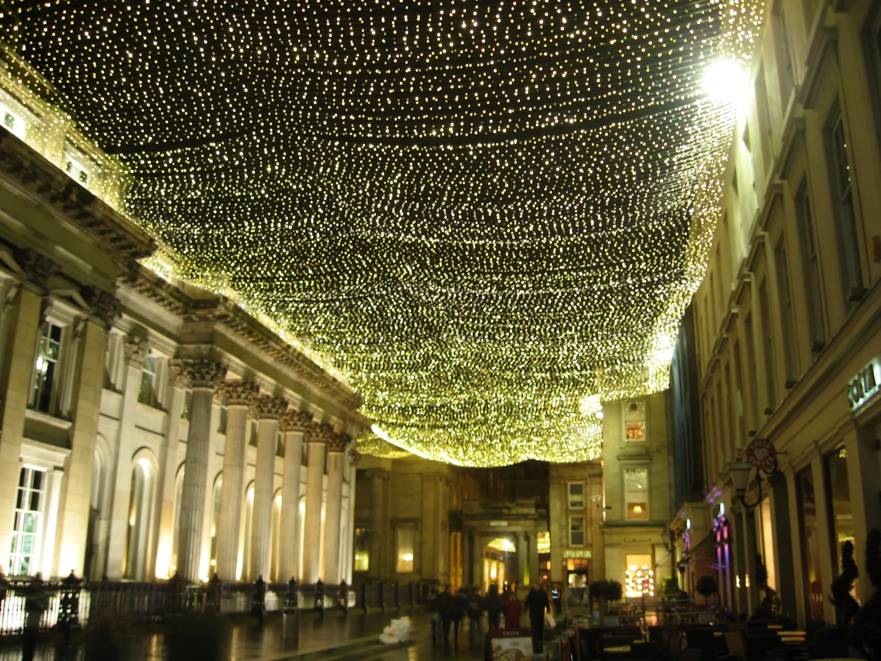

Merchant City
The name itself is a marketing invention. Charles Oakley coined "Merchant City" in the 1960s, decades before any regeneration began, when the district east of Glasgow's Queen Street was still a tangle of decaying warehouses and emptied markets - condemned, in fact, to be demolished for a motorway ring road that was never built. Walk these streets today and you find restored Georgian townhouses, courtyards full of restaurants, a sculpture called Thinking of Bella in the Italian Centre, and the University of Strathclyde's Technology and Innovation Centre. The contrast is more than aesthetic. This compact grid between George Square and Glasgow Cross is where Glasgow first imagined itself as a world city - and the wealth that built it came from a trade most Glaswegians would now rather forget.
The Wealth That Built These Streets
From the 1750s onward, the area was developed as Glasgow's first planned New Town - wide straight streets, vistas, churches, squares, all aspirationally ordered away from the medieval congestion of High Street. The men who built grand townhouses and warehouses here were the tobacco lords, merchants who grew rich importing tobacco from Virginia and Maryland and re-exporting it across Europe. That trade made Glasgow, in the 19th century, the second city of the United Kingdom and the British Empire. It is essential to name what made that wealth possible: the tobacco was grown on plantations worked by enslaved Africans, and Glasgow's sugar trade with the West Indies relied on the same brutal system. The tobacco lords did not own those plantations directly, but their fortunes were inseparable from the labour of people they would never meet. The elegant streetscapes of Virginia Street, Jamaica Street, and Glassford Street still carry those names. The buildings remain. So does the history.
The Westward Drift
Wealth, in Glasgow as everywhere, is restless. By 1800 the more prosperous families were already moving on. A second New Town, Blythswood, rose to the west on Blythswood Hill, climbing toward Blythswood Square, and the merchant residences of the original district were converted to warehouses, shipping offices, distilleries, and clothing manufacturers. The food markets - fruit, vegetables, cheese, fish - stayed and thrived. The Tron Steeple, where the town's weighing scales had stood since the 1550s, watched the change from Glasgow Cross. By the 20th century the markets had moved east, the warehouses had emptied, and plans for the M8/M74 motorway ring road in the 1960s threatened to flatten the area entirely. Some buildings were compulsorily purchased for demolition. Then, mercifully, the High Street section of the motorway was abandoned, and the empty district sat waiting for someone to imagine it again.
A New Town for a Service Economy
In the 1980s the Scottish Development Agency and Glasgow City Council took the rebrand Oakley had coined and gave it teeth. Public and private money flowed into restoration. Victorian warehouses became flats. Old market halls became Merchant Square. The City Halls and Old Fruitmarket reopened as music venues. The Italian Centre, designed by Page\Park Architects with art woven into the facades, anchored a wave of high-end shopping. Strathclyde University, which had owned the Ramshorn Cemetery and Church since 1983, expanded its campus along the northern edge, completing the Technology and Innovation Centre in 2014. Glaswegians sometimes call the result Covent Garden of the North, with mixed affection - it is the model the regenerators openly chased.
What the Festivals Remember
Every summer the Merchant City Festival turns the streets into a parade ground for street arts, dance, samba bands, family events, comedy, fashion shows, food markets, and a sing-along called Massaoke that locals turn up for in alarming numbers. A carnival procession sets off from Glasgow Cathedral and winds through the quarter, drums echoing off Georgian sandstone. The festival is unselfconscious about its mission: to make the Merchant City feel like a destination rather than just a postcode. On most days, though, the streets work harder than that. Students cross from one Strathclyde building to another. Office workers spill out at lunchtime. The Tron Steeple still presides over the cross, one of the few pre-Victorian buildings to survive.
From the Air
Located at 55.8568 degrees N, 4.2462 degrees W in central Glasgow, between George Square (west) and Glasgow Cross (east). Best viewed from 1,500-2,500 feet for a sense of the planned New Town grid against the medieval street patterns to the east. Nearby ICAO airports: Glasgow International (EGPF) about 7 nm west and Glasgow Prestwick (EGPK) about 25 nm southwest. The River Clyde runs just south of the district. Look for the dense central grid bounded by George Street, High Street, Trongate, and Queen Street.
Nearby Stories
- Mauchline 3.6 km away
- Shotts 4.2 km away
- HMS Ulysses (1917) 7.7 km away
- Rothesay Castle 8.8 km away
- Inchcailloch 10 km away
- Strachur 14 km away
- Battle of Dollar 16 km away
- Crawford Castle 16 km away