Mojave Trails National Monument
When President Obama designated Mojave Trails National Monument on February 12, 2016, he created the largest national monument in the contiguous United States — a designation that covered territory so vast and so undeveloped that the main challenge wasn't what to protect but how to describe it. The monument has no single focal point, no iconic landmark that concentrates visitor attention. It is, instead, a landscape: 105 miles of historic Route 66, six wilderness areas, volcanic features, desert playas, mountain ranges, and the remnants of a World War II military training operation so large it covered more ground than some states.
The Last Long Stretch of Route 66
The monument contains the longest undeveloped segment of historic Route 66 in the country — running from Needles to Ludlow, the road passes through the monument's territory with few interruptions. Along this stretch, the highway retains the character it had before Interstate 40 bypassed it in the 1970s: small towns separated by long desert silences, gas stations that may or may not be open, diners serving travelers who are driving the old road on purpose.
Amboy, with its crater and its famous Roy's Motel and Café, falls within the monument's orbit. The pavement runs through desert that has changed little since John Steinbeck described it in The Grapes of Wrath. The monument's designation provides a framework for protecting this corridor from development that would otherwise be possible.
What the Desert Training Left Behind
During World War II, General George Patton established the Desert Training Center in the Mojave to prepare American troops for the North Africa campaign. The training area covered roughly 18,000 square miles — larger than the state of Connecticut — and involved hundreds of thousands of soldiers learning to fight in conditions similar to those they would face in Libya and Tunisia.
The monument preserves sites associated with this training, including camp locations where the outlines of barracks and vehicle tracks remain visible in the desert pavement. The Mojave's preserving qualities — low humidity, low rainfall, minimal biological activity — have kept these traces readable decades after the camps were abandoned. Driving through the desert, you can sometimes see the ghost of military organization in the landscape.
Six Wilderness Areas
The monument encompasses six designated wilderness areas, including the Trilobite Wilderness in the Marble Mountains, where Cambrian-era trilobite fossils are so abundant that virtually every piece of rock contains evidence of life from 500 million years ago. Other wilderness areas protect portions of the Clipper Mountains, the Bristol Mountains, and the volcanic landscape surrounding Amboy Crater.
Wilderness designation means no motorized vehicles, no mechanical equipment, no permanent structures. What it offers in return is the experience of landscape without infrastructure — trails that follow terrain rather than serving convenience, quiet that is not managed, wildlife that has not adjusted its behavior to accommodate visitors. The desert's difficulty, which made it unappealing for development, is exactly what wilderness designation is designed to preserve.
Almost Entirely Undeveloped
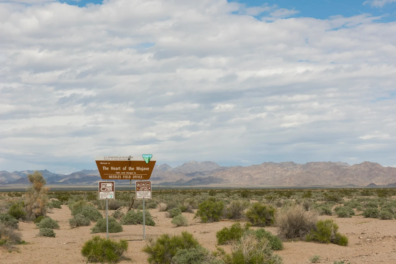
What makes Mojave Trails unusual among national monuments is the degree to which it has been left alone. There is no visitor center — or rather, the visitor center at Kelso Depot in the adjacent Mojave National Preserve serves nearby areas. There are no paved roads within the monument's boundaries beyond Route 66. The BLM manages the land, but the management philosophy is light: protect what's there by not building what isn't.
The result is a monument that most people drive through without knowing it. The desert on either side of I-40 and Route 66 carries a federal designation, but the landscape looks the same as it would without one. The monument's value is less in what it adds than in what it prevents — a legal framework that keeps one of the last large undeveloped deserts in the American West from becoming something else.
From the Air
Mojave Trails National Monument covers a large area of eastern San Bernardino County, centered approximately at 34.6°N, 115.8°W. The monument is recognizable from the air as undeveloped desert between Interstate 40 and Route 66 corridors. Key features include the dark oval of Amboy Crater and the white playa of Bristol Lake. Nearest airports: Twentynine Palms Airport (TNP) to the south, Needles Airport (EED) to the east.
Nearby Stories
- Landers 2.7 km away
- Granite Mountains (Eastern San Bernardino County) 7.6 km away
- Wonder Valley, California 18 km away
- Lavic Lake Volcanic Field 21 km away
- Camp Cady 26 km away
- London Bridge (Lake Havasu City) 89 km away
- Poston War Relocation Center 90 km away
- Boulder City and Hoover Dam 138 km away