Mook en Middelaar
On 14 April 1574, Louis of Nassau and his younger brother Henry rode onto the heath called the Mookerheide at the head of a German mercenary army, hoping to break the Spanish siege of Leiden and turn the early years of the Dutch Revolt. They never came home. By the end of the day Spanish tercios under Sancho d'Avila had broken the rebel line, the Nassau brothers had been killed in the fighting, and the heath had soaked up enough blood to give the Dutch language an idiom. To this day, when a Dutch parent does not know where a child has gone, they may sigh and say the child has gone naar de Mookerhei. To Mook Heath. To the back of beyond, to nowhere in particular, to the place where Louis of Nassau disappeared and never came back.
The Land the Glaciers Made
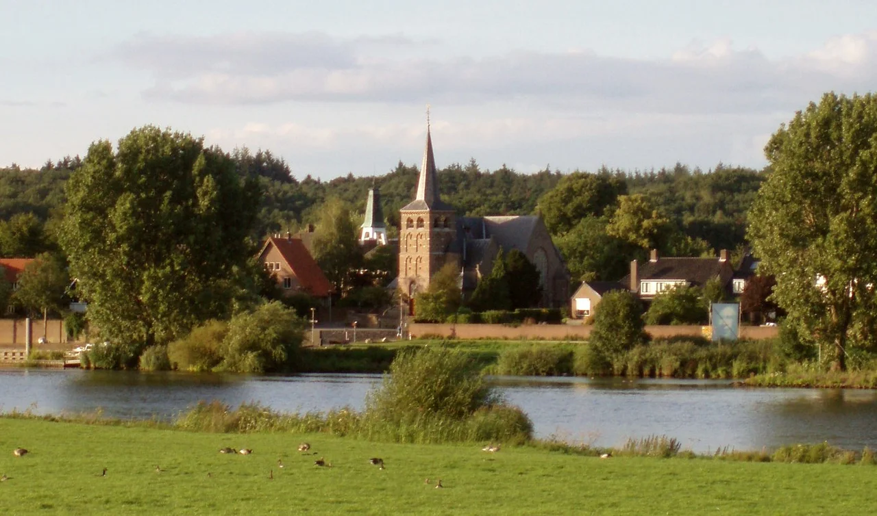
Mook en Middelaar sits in a strange piece of Dutch geography, at the northern tip of the province of Limburg, where rolling wooded moraine hills meet the broad valley of the Meuse. The hills here were pushed up by ice during the last ice age, about 160,000 years ago, and the soil that resulted is sandy and acidic enough that the heath landscape, the Mookerheide, persisted for centuries where farmland might have taken hold elsewhere. The Romans were here in the second century AD: at Plasmolen the foundations of a Roman villa have been excavated, and on the banks of the Meuse archaeologists have found the remains of a fourth-century Roman bridge. By the seventeenth century, the locals had thrown up earthwork defenses across the heath, the Mookerschans and the Heumense schans, to hold the river crossings. The restored Mookerheideschans still stands and still offers a view down the Meuse valley.
April 1574: The Day on the Heath
The Battle of Mookerheyde was a disaster for the rebel cause. Louis of Nassau was the third of William the Silent's brothers and one of the most capable Dutch commanders of the early Revolt; he had won at Heiligerlee in 1568 and then watched his elder brother Adolf die in that same battle. Six years later, on the open ground above the Meuse, his army of German mercenaries was caught and broken by professional Spanish infantry. Louis was killed in the rout. So was his younger brother Henry. Their bodies were never identified for certain. William the Silent, who had now lost three brothers to Spain, kept fighting; Leiden survived its siege a few months later when the dikes were cut and the Sea Beggars sailed inland on the flood. But the battle on the Mookerheide closed a chapter, and entered the language. Even now, when a Dutch person says someone has gone to the Mookerhei, it carries that old whisper of soldiers vanishing into the heath.
Liberated, Lost, Liberated Again
In September 1944 the war returned. Mook and Middelaar lay directly in the path of Operation Market Garden, and the bridge at Heumen over the Maas-Waal canal was a critical objective for the Allied advance toward Nijmegen. German artillery hidden in the woods near Groesbeek shelled the villages while Allied troops fought to take and hold the bridge. The front line moved back and forth across these small streets. Most of the houses in Mook were shot apart, and most of the people who had once lived in them had already fled. The villages were liberated, then fell back into German hands, then were liberated again. The dead from this fighting are buried at Mook War Cemetery, a smaller Commonwealth burial ground than the great Canadian cemetery a few kilometers north at Groesbeek, but no less full of young men. The people of Mook and Middelaar came home, when they could come home, to ruins.
Lakes, Lambs, and a Quiet Village
After the war, the cement industry needed sand, and great quantities of it were dug out of the fields beside the Meuse along a cart-track called the Cuyksesteeg. The pits filled with water. The Mookerplassen, the recreational lakes that now sit between Middelaar and the heath, are what the digging left behind. After flooding scares in the 1980s and 1990s, the municipality built a removable lock to keep the river out when it is angry. Today Mook en Middelaar is a small municipality of just a few thousand people, served by three bus lines and its own railway station at Mook-Molenhoek. The restored Mookerheideschans still looks down on the Meuse. The heath is now a quiet nature reserve where walkers and sheep come and go. The villa foundations at Plasmolen lie under the soil where the Romans left them. And on still days, looking across the heather, it is hard to believe what happened here once, twice, four centuries apart.
From the Air
Coordinates 51.75°N, 5.88°E, on the east bank of the Meuse where Limburg, North Brabant, and Gelderland meet. The municipality lies about 15 km southeast of Nijmegen and straddles the moraine hills of the Mookerheide as they descend into the Meuse valley. From altitude the bright blue Mookerplassen lakes are the easiest landmark, with the railway line and N271 road running parallel to the river. The Reichswald forest stretches across the German border just a few kilometers east. Eindhoven Airport (EHEH) lies about 45 km southwest; Maastricht Aachen (EHBK) around 65 km south. Late-afternoon passes work well, with the heath casting its longest shadows.
Nearby Stories
- Beverweerd Castle 1.6 km away
- Ammersoyen Castle 3.5 km away
- Hoge Veluwe National Park 5.8 km away
- Ysselsteyn German War Cemetery 7.6 km away
- Haldern Pop 11 km away
- Berkelland 16 km away
- Baarle-Nassau 24 km away
- Kunstmuseen Krefeld 25 km away