Baarle-Nassau
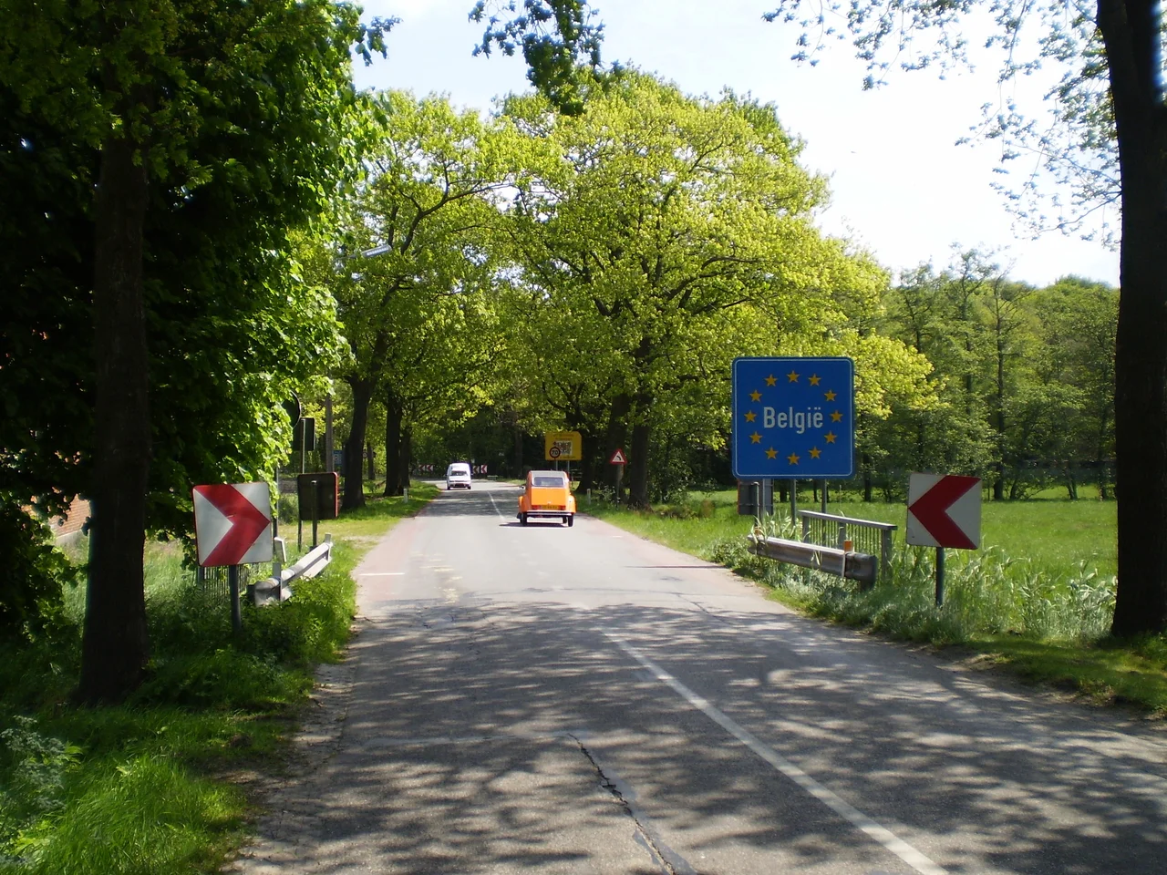
Look down at your feet anywhere in central Baarle-Nassau and you will eventually see a small white cross painted on the sidewalk, or a strip of iron pins set flush with the cobbles. These are the border. Step over them and you are in Belgium. Step back and you are home. The town wraps around 22 Belgian exclaves of Baarle-Hertog, plus seven Dutch counter-enclaves hidden inside the Belgian exclaves, plus an eighth Dutch parcel just over in mainland Belgium. The smallest Belgian piece, called H7 or De Loversche Akkers, measures 2,469 square meters. Locals carry on with shopping, work, and school, oblivious to crossing an international boundary perhaps a dozen times in a half-mile walk. You can spot tourists easily. They are the ones taking photos of pavement.
Two House Numbers, Two Flags
The most elegant solution Baarle-Nassau and Baarle-Hertog ever found to their geographic confusion was the house-number plate. Look at a front door anywhere in the central village. The street name and the number are mounted on a small enameled plaque. Beside the number, a tiny Dutch flag or Belgian flag indicates whose country you are about to enter when you ring the bell. The plaques use slightly different styling between the two nationalities, so even residents who do not look carefully can read the cue. When a house sits directly over the border, the front door determines the nationality, regardless of which country the bedroom is in. There are houses in Baarle where the kitchen counter is Dutch and the breakfast nook is Belgian. There are gardens cut diagonally by a national frontier. None of this is theory. All of it is in the council's tax records, which are themselves split between two municipal halls.
The Town That Refuses to Solve Itself
The border could have been simplified at any point over the past 200 years, and several times the two countries considered doing it. Each time, the calculation went the other way. Too many medieval deeds, too many leases, too many family inheritances dependent on the existing lines. The Treaty of Maastricht in 1843 ratified the patchwork as it stood; the negotiators agreed it was easier to live with than to redraw. Modern Baarle-Nassau, a Dutch municipality of about 7,200 people including the villages of Ulicoten and Castelré, has long since stopped wanting a solution. The strangeness is the town's primary brand, the reason tourists come, the reason urban geographers write papers, the reason it appears in every textbook on European borders. Solving the puzzle would mean losing the puzzle, and Baarle-Nassau is not willing to make that trade.
Library Without a Country
Practical life requires practical solutions, and the two municipalities cooperate in ways that would be enviable elsewhere in Europe. They share a single library, jointly staffed by Belgian and Dutch employees, where Dutch-language books from both countries sit side by side regardless of country of origin. They cooperate on tourism, signage, and most utilities. The post office handles mail for both jurisdictions, with the Belgian post bringing letters to the addresses on the Belgian side and the Dutch post bringing letters to the Dutch side; sometimes both vans appear on the same block. School zoning is dictated by nationality, not residence, so children walk past each other on their way to schools across the border. None of this is heroic. It is just what happens when a town decides to function instead of fight.
Where the Counter-Enclaves Are
The geographic strangeness goes one layer deeper than most maps reveal. Inside the largest Belgian exclave in Baarle-Nassau territory, six small Dutch parcels exist as 'counter-enclaves': pieces of the Netherlands surrounded by Belgium surrounded by the Netherlands. A seventh Dutch counter-enclave hides inside the second-largest Belgian exclave. An eighth Dutch parcel sits in Zondereigen, the main Belgian territorial body just over the border in mainland Belgium. Until 2015, when 162 enclaves were finally swapped between India and Bangladesh, the Baarle situation was the most complicated set of enclaves on Earth. With the Indian-Bangladeshi exchange complete, Baarle is once again the world champion. The complexity is not a tourist gimmick. It is the actual administrative reality of how garbage collection, building permits, school enrollment, and ambulance services work in a small Dutch town. Everyone knows which call goes to which country. Most days, no one needs to think about it.
The Painter From Baarle
Sometime around 1410 to 1420, in a town simply recorded as 'Baarle,' a boy was born named Petrus Christus. He left for Bruges as a young man and became the leading painter in that city after Jan van Eyck died in 1441, one of the inheritors of the Early Netherlandish tradition that made oil paint the dominant medium of European art. The records do not specify whether his Baarle was the Dutch one, the Belgian one, or some now-vanished medieval hamlet straddling what would eventually become the border. So both Baarles claim him, both display reproductions of his work, and both place flowers at memorials on his name day. It is the most appropriate possible biography for the most internationally ambiguous town in Europe. Petrus Christus belongs to both countries because, like the streets where he played as a child, he cannot quite be assigned to one.
From the Air
Coordinates 51.450°N, 4.933°E, approximately 50 km south of Rotterdam on the Belgian-Dutch border. From the air, Baarle-Nassau looks like an ordinary small North Brabant town, with the borders of its many Belgian counter-territories invisible at altitude. The town is set in flat farmland with patches of woodland; the only real landmarks are the church spire and the elongated layout following the original village road. Nearest airports: Antwerp International (EBAW) about 35 km southwest, Eindhoven (EHEH) about 40 km northeast, Breda International (EHSE) about 25 km northwest. The flat terrain offers good visibility year-round; for the best ground-level appreciation of the enclave geography, you must walk the streets and look down.
Nearby Stories
- Lier 2.4 km away
- Helmond 7.4 km away
- Essen, Belgium 9 km away
- Willemstad (Netherlands) 9.2 km away
- Dussen Castle 11 km away
- Aldendriel Castle 11 km away
- Maaseik 13 km away
- Ted Swales 13 km away