Willemstad (Netherlands)
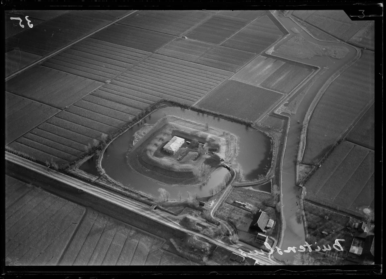
Trace the outline of Willemstad on a satellite map and you will see a seven-pointed star pressed against the southern bank of the Hollands Diep. Seven bastions, one for each of the original Dutch provinces that rose against Spanish rule, encircle a small town of around 2,500 people. William the Silent ordered the fortification of the settlement in 1583, the year before his assassination. His son Maurice of Orange later expanded the defenses into the full seven-pointed star and gave the town its name. Four and a half centuries later, the Dutch king still holds the title of Lord of Willemstad. Not the more famous Willemstad in Curacao. This one. The original.
Seven Bastions, Seven Provinces
Each of the seven points of the star was eventually named for one of the Seven United Provinces that joined the Dutch Revolt: Friesland, Gelre, Holland, Overijssel, Groningen, Utrecht, and Zeeland. The seven-pointed pattern was a Renaissance answer to gunpowder warfare. Angled bastions could cover one another with crossfire, leaving no blind spots for an attacker. Most still carry buildings today. The Holland and Gelderland bastions in the northwest still hold Atlantikwall concrete from the Nazi occupation, an awkward second layer of fortification grafted onto the original Dutch design. The Landpoort, the land-side gate, was demolished in 1918, but the line of the old defense is still visible along the Landpoortstraat, with a former ravelin sitting just outside the vanished gate.
The First Purpose-Built Protestant Church
In 1607, at the geometric center of the star, the people of Willemstad built the Koepelkerk, the Domed Church. It was the first church in the Netherlands designed and constructed specifically for Protestant worship. Every other Protestant church in the country at that time was a Catholic building repurposed by the Reformation. Maurice of Orange helped pay for it. In 1623 he also funded the Princehof, the Prince's Court, which in 1973 was renamed Mauritshuis in his memory. The Mauritshuis served as Willemstad's city hall until 1996, when the municipality merged with neighboring Moerdijk. The connection to the House of Orange-Nassau has never been broken: to this day the reigning Dutch king holds the formal title of Lord of Willemstad.
The Town That Did Not Sprawl
Most Dutch fortified cities were decommissioned in the late nineteenth century and allowed to demolish their walls so the suburbs could grow. Willemstad was different. Its military designation was retained in 1874 and kept until 1922. By the time the army released the town from its military role, the surrounding pattern of land use had been frozen for so long that no one had built up against the walls. The result is unusual in the Netherlands: a fortress town whose outline still matches its seventeenth-century map. Walk along the Westbeer, a stone dike built to keep the moat water separated from the brackish tidal water of the Hollands Diep, and you can see what these places were supposed to look like before modernity smudged most of them out.
Atlantikwall and the Fifth Coalition
Willemstad fell to British forces and was later recaptured by Dutch-French troops during the War of the Fifth Coalition. The episode prompted an expansion: two new forts, Sabina Henrica and De Hel, were built to the south of the town to push the defensive perimeter outward. More than a century later, during the Second World War, the Nazi occupiers found Willemstad's geometry still useful. They added Atlantikwall bunkers to the Holland and Gelderland bastions, briefly returning the town to military relevance. After the war the bunkers stayed, the town lost its military significance again, and Willemstad settled back into the slower rhythms of a small fortified town on a wide tidal river.
Two Marinas and a Ferry
The Hollands Diep that the bastions still face is no longer brackish or tidal in the way it was in Maurice's time. The Volkerakdam closure in 1969 changed all that. But the water is still wide and busy, and Willemstad has two marinas working VHF channel 31: one north of the fortified center, another wrapped around the Groningen bastion. A small ferry crosses the Hollands Diep to Numansdorp on the Hoeksche Waard side, giving the town a watery shortcut to the south of Rotterdam. Restaurants line the Benedenkade, the harbor front, and the Voorstraat, the main axis running between the harbor and the Koepelkerk. On a summer evening the masts in the Stadshaven catch the light from the bastions' grass slopes, and a seventeenth-century star plan reveals itself, again, exactly as Prince Maurice intended.
From the Air
Coordinates 51.69 N, 4.44 E. From the air the seven-pointed star plan is unmistakable, especially with low-angle morning or evening sun casting shadows from the bastions. Cruise at 3,000 to 4,500 feet for clear definition of the bastions and moats. Nearest airports: Rotterdam The Hague (EHRD) 35 km north; Antwerp (EBAW) 50 km south. The Volkerakdam and Haringvliet bridge are immediately to the west, making this an easy waypoint for a Delta Works tour.
Nearby Stories
- A4 motorway (Netherlands) 3.2 km away
- Dussen Castle 5 km away
- Baarle-Nassau 6 km away
- Siege of Bergen op Zoom (1747) 6.6 km away
- Moermond Castle 6.7 km away
- Woerden Train Disaster 8 km away
- Battle of Walcheren Causeway 11 km away
- HMS Cressy 28 km away