A4 motorway (Netherlands)
There is a stretch of the A4 between Delft and Schiedam that took half a century to argue about and four years to build. For decades, drivers heading from The Hague toward Rotterdam had only the parallel A13 to rely on, a road so chronically clogged that Dutch traffic reporters spoke of it the way sailors speak of difficult weather. The missing seven-kilometer link through Midden-Delfland - peat-meadow polder country, beloved and protected - had been sketched on planning maps in the 1930s and crossed out by every government that followed. When it finally opened in December 2015, lowered partly below ground to soothe the landscape, it ended one of the longest road-planning sagas in Dutch history. The A4 is full of stories like that.
A road built in pieces
Officially the A4 runs 119 kilometers from southeastern Amsterdam to the Belgian border near Zandvliet, just north of Antwerp. In practice, it has spent most of its life as a series of disconnected fragments. Construction began in the 1930s with high standards for the era, and a section between Amsterdam and Sassenheim opened by the late 1930s. Work near Leidschendam began in 1939, and the Ypenburg interchange started taking shape the same year. In 1942, the German occupation halted everything. After the war the pieces resumed slowly - 1957 brought a stretch between Ypenburg and what is now Prins Clausplein, 1961 added the aqueduct under the Ringvaart canal, 1967 produced the first Dutch cloverleaf with collector-distributor lanes at Badhoevedorp. By the 1970s drivers had several disconnected A4s, and by the 1990s the gaps had become embarrassments. The road's history reads less like construction and more like a long argument between traffic engineers, environmentalists, and successive ministers of transport.
Aqueducts instead of bridges
Driving south from Amsterdam, you cross water repeatedly without seeing it. The A4 dives under the Ringvaart canal, under the Oude Rijn river, under the Nieuwe Maas through the Beneluxtunnel, and under the Steenbergse Haven near Steenbergen. These are not the soaring cable-stayed bridges other countries use to celebrate their rivers. Dutch road builders prefer aqueducts - the highway lowered into a concrete trough while the water flows quietly overhead. The Limes aqueduct under the Oude Rijn replaced an old low bridge that had bottlenecked traffic for years; when its second phase opened on 25 October 2014, the corridor finally had room for five lanes in each direction plus emergency shoulders. The choice is not just aesthetic. In a country where the water table is high and the landscape is already a negotiated treaty between sea and farm, slipping under the canals is often the gentler engineering.
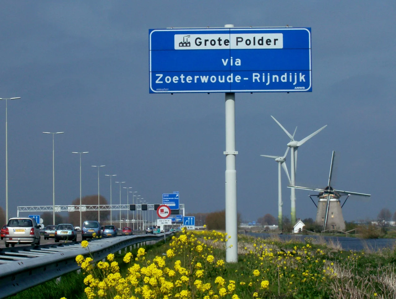
Midden-Delfland and the missing link
Of all the segments of the A4, none stirred up more feeling than the one between Delft and the Kethelplein interchange in Schiedam. Midden-Delfland is the kind of Dutch landscape that exists on postcards - low green polders dotted with cattle, drainage ditches catching the light, windmills on the horizon. It is also, on the planners' maps, an inconvenient piece of empty ground between two of the busiest cities in the Netherlands. The argument over running a motorway through it went on for decades. Twice, the central government diverted the money to other projects. In 2006 the estimate was 700 million euros for seven kilometers. In 2009 the government decided it would be built. In 2010 the formal decision was filed; in 2011 the last appeals were dismissed; in spring 2012 construction began. The road was lowered for much of its length, partly tunnelled, partly screened with green embankments. Southbound lanes opened on 18 December 2015, northbound on 21 December 2015. The relief on the A13 was immediate.
Steenbergen and the demolished fort
Further south, the A4 makes a long curve westward around Steenbergen, an old fortified town in North Brabant. The road runs past the outline of Fort Henricus - a structure long demolished, leaving only the shape of earthworks in the ground. Here the highway dives again, this time under the Steenbergse Haven, through the third Steenbergen aan Zee aqueduct. The route around Steenbergen had its own twenty-year argument. Engineers favored a shorter, cheaper path east of the town, but that route would have cut through the Mark river area, considered an important natural landscape. The Council of State approved the western route in March 2012. The final segment between Klutsdorp and Dinteloord opened by the end of 2013, finally linking Rotterdam to the Belgian border by a continuous run of A29 and A4.
What is still missing
Even now, the A4 is not whole. Between the Benelux interchange near Schiedam and the A29 near Klaaswaal, a twelve-kilometer gap remains. The plan was approved as far back as 1961, and the right-of-way still sits reserved on government maps. Supporters argue the link would relieve congestion around Rotterdam, Spijkenisse and Barendrecht. Opponents - including environmentalists - say new motorway only generates new traffic, and that since the A15 and A29 are being widened, the gap is becoming permanent by inertia. When the missing link is eventually built, the section currently called A29 between Klaaswaal and Dinteloord will be renumbered A4, and at last the road will carry a single name from Amsterdam to Antwerp. For now, the numbering changes mid-journey, a small reminder that this road has always been a work in progress.
From the Air
A4 motorway, Netherlands. Coordinates near The Hague segment: 52.06 degrees N, 4.37 degrees E. The motorway threads south from Amsterdam Schiphol past Leiden and The Hague to Rotterdam, then resumes near Heijningen and runs to the Belgian border. Recommended viewing altitude 2,500-4,500 feet to see how the road traces the seam between the Randstad cities and the polders. Nearest major airports: Schiphol (EHAM) at the northern end, Rotterdam The Hague (EHRD) at the midpoint, and Antwerp Deurne (EBAW) near the Belgian terminus. Look for aqueducts at the Ringvaart, Oude Rijn, Nieuwe Maas (Beneluxtunnel), and Steenbergse Haven - water flowing serenely over the highway.
Nearby Stories
- Woerden Train Disaster 2.5 km away
- Ransdorp 5 km away
- Barendrecht 9.6 km away
- 1973 Dutch Grand Prix 10 km away
- Dussen Castle 14 km away
- Moermond Castle 15 km away
- HMS Cressy 20 km away
- Hollandse Kust West Offshore Wind Farm 34 km away