Essen, Belgium
Look at a map of Essen and you will see a problem. Of all the towns this little Belgian municipality borders, only one other town is Belgian. The rest are Dutch. Essen is a thumb of Antwerp province jammed northward into the Netherlands - so far north that it qualifies as the third-northernmost municipality in all of Belgium, sharing that quirk with only one other place in the country. For most of its history this awkward geography mattered very little. For the last two hundred years, it has mattered a great deal.
Boats Made of Ash
The name is older than the country. In Old Dutch, es meant ash tree, and essen was its plural - but because ash wood was the favoured material for early shipbuilding, the word also came to mean a boat of ash. Archaeology pushes settlement here back about 8,500 years, to nomadic flint-knappers who left arrowheads at four scattered sites. The first documented landlord arrived in 1159, when a man named Berner van Rijsbergen handed Essen as an allod to Tongerlo Abbey. The abbots ran the place, in awkward partnership with the Dukes of Brabant, until the French Revolution swept the whole arrangement aside. The coat of arms Essen adopted in 1795 - two ox heads and a lamb - belonged to Prelate Hermans, the last abbot of Tongerlo. The town liked him enough to keep his shield.
The Railroad That Skipped Breda
When Belgium broke away from the Netherlands in 1830, Essen woke up one morning to find itself on a border. The first year of independence brought the Battle of Essen on 21 November 1830; the second brought the Battle of the Hill, when four thousand Dutch soldiers walked into Essen during high mass searching for Walloon troops and killed two villagers along with five soldiers of their own. The hostility eventually cooled into commerce. In 1852 the two countries agreed to build a railway from Antwerp to Rotterdam, and Essen got the border station. The line had a curious detour built into it: it bypassed the city of Breda entirely, because one of the founders of the railway company happened to own land in Essen and arranged the route to suit himself. The station's strange surplus of sidings is not a quirk - it is the residue of decades of customs inspections. Beside the platforms, a complex of quarantine stables built in 1896 held cattle in isolation until the 1970s, screening for contagious disease before the animals could enter Belgium.
Sealed Inside the Hump
Essen's protruding shape, which the maps charitably call a hump, made it a problem for the German occupation in 1914. Rather than encircle the town with barbed wire on the standard pattern, the Germans installed something far more lethal along the boundary: the Dodendraad, the Wire of Death, an electrified fence carrying two thousand volts. Essen spent the war effectively cut off from the world, a Belgian island ringed by Dutch territory on three sides and by killing voltage on the fourth. Smuggling thrived anyway - the wire could be circumvented by the brave and the desperate - and the trauma went deep enough that artworks commemorating the fence are still scattered through Essen and neighbouring Kalmthout a century later.
Rockets Meant for Antwerp
The Second World War left Essen a different kind of wound. Retreating German forces dynamited church towers across the municipality - O.-L.-V. Geboortekerk in Essen-Centre, Sint-Jan-Baptistkerk in Wildert, Sint-Vincentius in Horendonk - because the spires made obvious observation posts for the advancing Allies. Then came something Essen never asked for: V1 and V2 rockets, aimed at the port of Antwerp twenty kilometres south, occasionally falling short. The customs office that finally rose on Nieuwstraat in 1959 was built on the foundations of the destroyed Church of the Nativity, a quiet substitution that made Essen the second-busiest road crossing on the Belgian-Dutch border until the Schengen agreement closed it on 1 January 1993.
A Border Town in a Borderless Europe
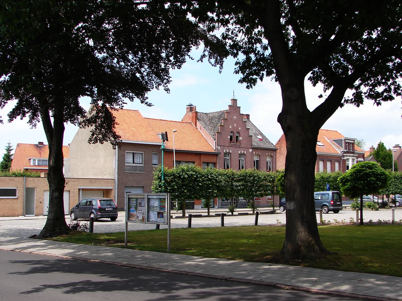
The border is gone now in the bureaucratic sense - cars and bicycles cross without slowing - but Essen still feels distinctly itself. Nearly one in five residents holds Dutch nationality, the school system runs in Flemish but the supermarket conversations slip easily between dialects, and the Essen-Roosendaal train still rattles up the line that the 1852 treaty drew. The old quarantine stables are now a protected monument. The Karrenmuseum, a wheelbarrow museum in a 1776 farmhouse on Moerkantsebaan, may be the most niche cultural institution in the Kempen. Carnival here is the biggest in the Noorderkempen, and the Pumpkin Procession on the first Sunday of October is the kind of thing you find only in towns small enough that everyone knows whose pumpkin won. Of all the famous people connected to this area, the one most likely to be recognised abroad is fashion designer Dries van Noten - born in Antwerp but raised in a family whose boutique was in Essen, though the town would probably prefer you noticed the cyclo-cross riders first.
From the Air
Located at 51.47 N, 4.47 E, a small Belgian salient pushing into the southern Netherlands about 20 km north of Antwerp. From altitude the municipality reads as a distinctive northward bulge in the Belgian border, with the long straight line of the Antwerp-Rotterdam railway cutting through it. Best viewing 1,500 to 3,000 feet AGL. Nearest airports: Antwerp-Deurne (EBAW) about 13 nm south, Woensdrecht (EHWO) about 11 nm northwest, Breda-Seppe (EHSE) about 18 nm north. The area sits inside or adjacent to the Antwerp TMA - expect Class C and watch for military activity around Woensdrecht.
Nearby Stories
- Volkerakdam 1.4 km away
- Baarle-Hertog 2.6 km away
- Tomorrowland 6.7 km away
- Dussen Castle 6.9 km away
- Moermond Castle 8.2 km away
- Borssele Nuclear Power Station 11 km away
- Reginald Warneford 13 km away
- Basilica of Our Lady of Scherpenheuvel 20 km away