_Wind_Farm.JPG)
Mountaineer Wind Energy Center
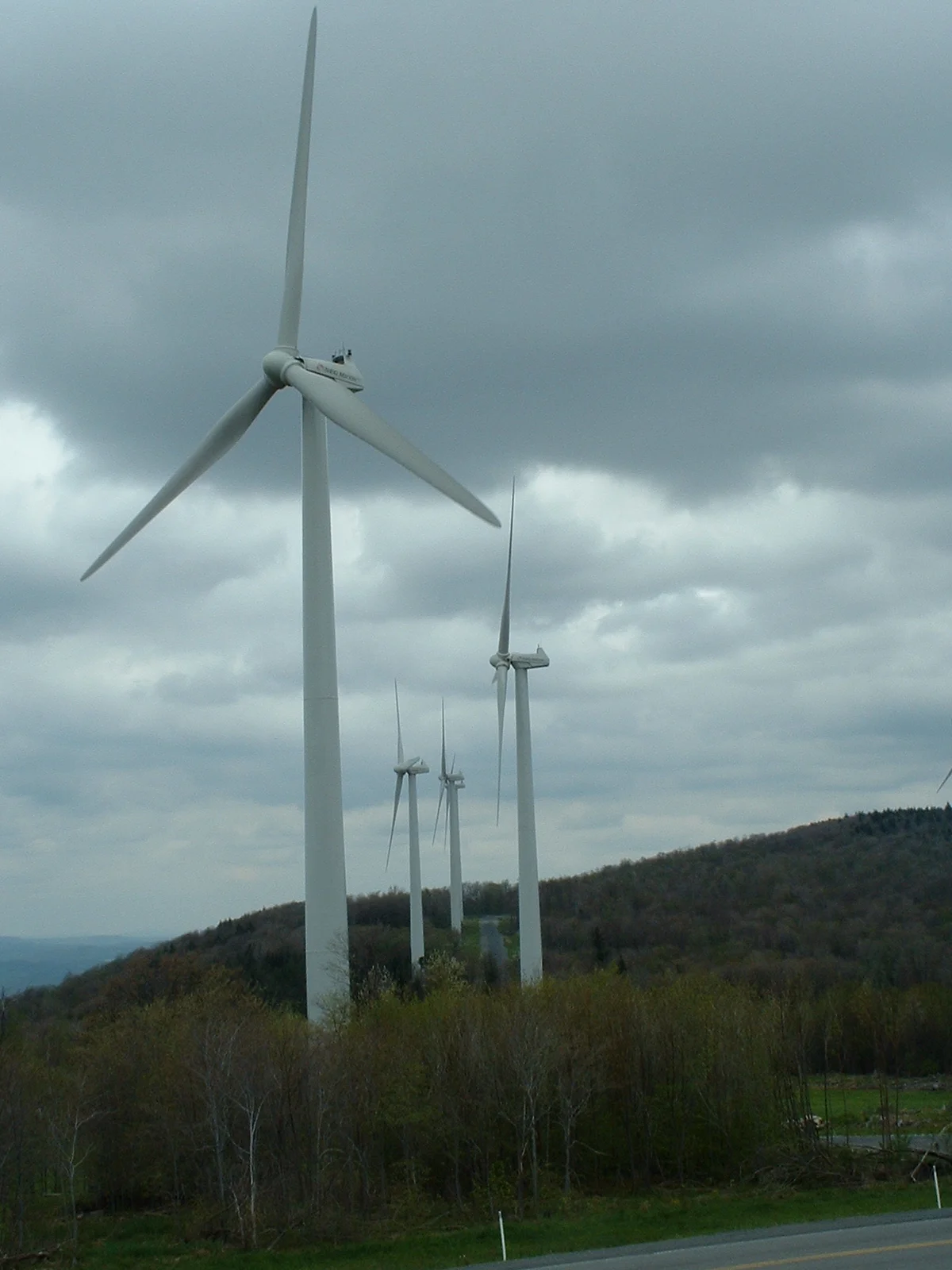
In a state where the political identity has been wrapped around coal for more than a century, the wind farm on Backbone Mountain was both surprising and necessary. When Mountaineer Wind Energy Center came online in December 2002, it was the first wind farm in West Virginia and the largest east of the Mississippi River. The 44 turbines, each about 350 feet tall to the blade tip, stood along the ridgeline of Backbone Mountain in Preston and Tucker counties - the same ridges where Henry Gassaway Davis had once cut timber and dug coal for his railroad empire. The same wind that snowed out hayfields and ruined picnics in Tucker County was now producing electricity for the Mid-Atlantic grid.
Why Backbone Mountain
Backbone Mountain forms the boundary between Tucker County to the southeast and Preston County to the northwest. It runs as a long, exposed ridge at about 3,200 to 3,400 feet of elevation - high enough to clear the lower terrain to the west and catch the prevailing westerly winds that climb the Allegheny Front. Wind speeds on Backbone are consistent enough year-round to make grid-scale wind generation viable. The mountain also sits close to existing transmission infrastructure that runs through the Allegheny corridor. The combination of consistent wind, sufficient elevation, and grid access made it the natural choice for the state's first utility-scale wind farm.
Who Owns It, Who Buys It
Mountaineer Wind Energy Center was originally developed and operated by FPL Energy (Florida Power and Light) and is now owned by Quinbrook Infrastructure Partners, which acquired the facility in 2018 as part of a portfolio purchase from NextEra Energy Resources. Exelon Generation purchases the power produced and markets it across the Mid-Atlantic region through its partnership with Community Energy, Inc., a leading wind energy marketer. The marketing partnership has allowed bundled wind power to be sold to utilities, municipalities, and individual customers who want renewable energy in their power mix. One reported arrangement had six county agencies, eleven municipalities, and Prince George's County, Maryland collectively purchasing 38 million kilowatt-hours of wind energy annually sourced from Mountaineer. The kilowatts cross state lines on the existing transmission grid.
Politics on a Coal Ridge
Wind power in West Virginia has not been politically neutral. The state's economy and political identity have been bound up with coal mining for more than a century. A wind farm on a Tucker County ridge represented, for some, a welcome diversification - jobs for local workers, lease payments to landowners, and tax revenue for counties hit hard by the long decline of coal employment. For others, the turbines were a visual intrusion on landscapes that had been promoted for tourism, and a symbolic challenge to coal's central place in state identity. The fights over wind energy have been about land use, viewsheds, bird and bat impacts, and the deeper question of what kind of energy economy West Virginia wants. Mountaineer is one piece of a broader argument that continues.
The Turbines Today
More than two decades after Mountaineer came online, the wind energy industry has matured significantly. Larger turbines have made earlier installations look small. The 'largest east of the Mississippi' distinction Mountaineer held in 2002 belongs now to bigger projects. Other wind farms have opened along the Allegheny Front in West Virginia and Pennsylvania. Mountaineer remains operational and still contributes to the regional grid, though it is no longer the showcase project it was on opening day. The turbines still turn against the West Virginia sky. They still produce power that flows east to Washington and Baltimore. They remain a visible reminder that even in a coal state, the wind kept blowing - and somebody decided to do something with it.
From the Air
Located at 39.18 degrees north, 79.54 degrees west, on Backbone Mountain in Preston and Tucker counties, West Virginia. Best viewed from 4,500 to 6,500 feet AGL. The wind farm runs along the ridge of Backbone Mountain - look for the line of 350-foot turbines along the high ground. Backbone Mountain forms the northwest wall of Blackwater Canyon. Nearest airports are Elkins-Randolph County (KEKN), Cumberland Regional (KCBE), and Morgantown Municipal (KMGW). Note: large wind turbines are charted obstructions; check current sectional charts for exact tower positions and lighting.
Nearby Stories
- District of West Augusta 2.4 km away
- Battle of Moorefield 12 km away
- Sinks of Gandy 15 km away
- Helvetia, West Virginia 16 km away
- Orkney Springs Hotel 26 km away
- Battle of Fort Necessity 49 km away
- United Airlines Flight 93 77 km away
- West Virginia Penitentiary 79 km away