![Photo: [2] | CC BY 2.0](https://commons.wikimedia.org/wiki/File:HK_Nathan_Road_Jordan_Section_2009.jpg)
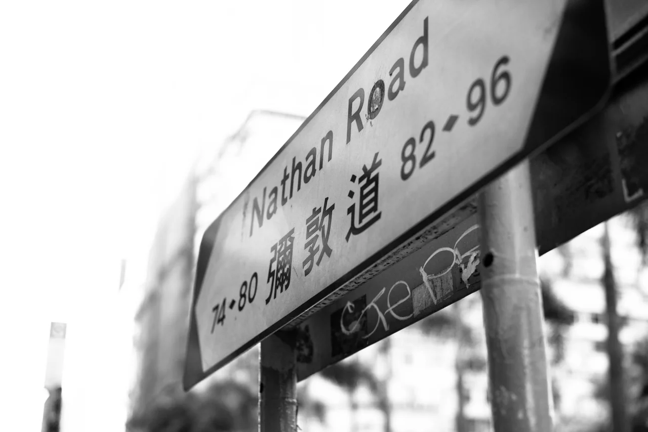
Nathan Road
There are streets that hold a city's whole biography, and Nathan Road is one of them. Start at Victoria Harbour, where Salisbury Road meets the southern tip of Kowloon, and walk north for 3.6 kilometres. By the time you reach Boundary Street, you will have passed through five MTR stations, a dozen distinct streetscapes, and 165 years of a city building and rebuilding itself on top of its own foundations.
The First Road in Kowloon
Nathan Road's origins lie in the Convention of Peking of 1860, when the Qing dynasty ceded the Kowloon Peninsula to Britain. The first section of what would become Nathan Road was completed in 1861 — the very first road built on the newly acquired territory. It was initially named Robinson Road, after Sir Hercules Robinson, the 5th Governor of Hong Kong. The name proved inconvenient: a Robinson Road already existed on Hong Kong Island. In 1909, the Kowloon road was renamed Nathan Road, honouring Sir Matthew Nathan, the 13th governor, who served from 1904 to 1907. Nathan had pushed hard for the road's northward extension, envisioning it as the spine of a planned city. His colleagues were sceptical; Kowloon was still largely open land. The road was built anyway, and time proved Nathan right, though the name has occasionally drawn ironic comment given how thoroughly the city eventually filled in around his ambitious boulevard.
A Road That Grew into a City
In its early decades Nathan Road was largely residential, lined with colonial-style houses featuring arched verandahs and covered archways. The Whitfield Barracks occupied a large tract that is now Kowloon Park. Saint Andrew's Church, completed in 1906 and still standing at No. 138, was the oldest Anglican church in Kowloon when it opened. The road extended northward in the 1920s, absorbing Coronation Road — named in honour of the 1911 coronation of King George V — as part of a works project that connected the existing segments into a single continuous thoroughfare. By this point, land reclamation had already pushed the road's southern terminus to its current position near Victoria Harbour, and the street was acquiring the dense, layered character that would define it through the rest of the century.
The Golden Mile
In the postwar years, Nathan Road earned a nickname: the Golden Mile. Commerce had colonised the street from pavement to rooftop, neon signs competing for attention above the crowds. Electronics, tailors, jewellers, money changers, restaurants — the street became synonymous with the particular sensory intensity of Hong Kong commerce at its most concentrated. The name is rarely used today, the street having long since become too ordinary to require promotion. Chungking Mansions, at No. 36-44, distils the road's character into a single labyrinthine building: a vertical city of guesthouses, restaurants, money-exchange counters, and small businesses representing dozens of nationalities. The Peninsula Hotel anchors the southern end, its classical facade and famous afternoon tea representing a different register of the street's long commercial life.
Fires, Protests, and the Weight of Events
Nathan Road has been the scene of events that left marks beyond the commercial. In 1996, the Garley Building fire at No. 233-239 killed 41 people — one of Hong Kong's worst peacetime disasters, caused by a lift shaft that acted as a chimney and trapped workers on upper floors. In 2008, the Cornwall Court fire at No. 687-689 involved more than 200 firefighters and killed four people, including two of those firefighters. In 2014, Nathan Road became the central corridor of the Umbrella Movement protests, its surface occupied for weeks by demonstrators calling for universal suffrage, its tarmac temporarily transformed into a gathering place for the largest civil disobedience movement Hong Kong had seen in decades. These episodes are part of the road's story alongside the shopping and the neon.
Under the Street and Along It
Five MTR stations run beneath Nathan Road, tracking the Tsuen Wan and Kwun Tong lines from Tsim Sha Tsui in the south to Prince Edward in the north. The stations — Tsim Sha Tsui, Jordan, Yau Ma Tei, Mong Kok, Prince Edward — divide the road into named sections, each with its own commercial and residential character. The street-level experience shifts noticeably between them: Tsim Sha Tsui is tourist-dense and hotel-heavy; Jordan shades into local wholesale commerce; Yau Ma Tei has the jade market and older residential blocks; Mong Kok is one of the most densely populated urban areas on earth; Prince Edward gives way gradually to Sham Shui Po beyond. Running its full 3.6 kilometres from harbour to boundary, Nathan Road is less a single street than a cross-section of a city — compressed, vertical, and always in motion.
From the Air
Nathan Road runs along a north-south axis at approximately 22.31°N, 114.171°E through the Kowloon Peninsula. From the air at 3,000 feet, the road is clearly visible as a straight corridor of dense urban development between Victoria Harbour to the south and the older residential districts of Mong Kok and beyond to the north. The Peninsula Hotel and Tsim Sha Tsui waterfront mark the southern terminus; Boundary Street and Kowloon Walled City Park area mark the northern end. Hong Kong International Airport (VHHH) is approximately 22 nautical miles to the west-southwest across the harbour and Tsing Yi Island.
Nearby Stories
- Lok Ma Chau Loop 2.3 km away
- Portas do Cerco 2.3 km away
- Kweilin Incident 17 km away
- Wanshan Archipelago Campaign 34 km away
- Nanxiong Formation 115 km away
- Battle of Nanpeng Island 148 km away
- Heyuan 169 km away
- Cape Maobitou 632 km away