North Maluku
For three centuries, European sailors died trying to reach this place. North Maluku, a scattered province of volcanic islands in eastern Indonesia, was the original Spice Islands -- the only place on earth where cloves and nutmeg grew wild. The Sultanates of Ternate, Tidore, Bacan, and Jailolo, collectively known as the Moloku Kie Raha -- the Four Mountains of Maluku -- controlled a commodity more valuable by weight than gold. Portuguese caravels arrived in the early 16th century, followed by Spanish galleons, then Dutch merchant fleets. Each wave left fortifications, graveyards, and a complicated legacy that still marks the islands today.
The Four Mountains
The four sultanates that defined North Maluku's identity were not merely political entities but cosmic ones. Local tradition held that the founders of Ternate, Tidore, Bacan, and Jailolo descended from a common ancestor, giving the rivalry between them the character of a family quarrel writ large. The Kingdom of Gapi, later known as the Sultanate of Ternate, emerged from an exodus off Halmahera around 1250. Arab, Javanese, Malay, and Chinese traders settled among the original inhabitants, and the growing heterogeneity of Ternate's population fueled its rise as a commercial power. By the 16th century, Ternate's influence stretched from Sulawesi to Mindanao. Islam arrived through Javanese traders in the late 15th century, binding the sultanates into a network that extended far beyond the clove groves.
Empires Come and Go
The Portuguese arrived first, building forts and missions but earning deep resentment through their attempts to monopolize trade and convert Muslim rulers. The Spanish came from their base in Manila, the Dutch from Batavia. For more than a century, North Maluku was carved up between competing European powers, each allied with different local sultanates in a shifting web of treaties, betrayals, and sieges. The Dutch eventually prevailed, beginning three centuries of colonial rule. Japan occupied the islands during World War II, governing eastern Indonesia through its navy. After Indonesia declared independence in 1945, North Maluku became part of the new nation's Maluku province before gaining its own provincial status in 1999 -- a transition marred by sectarian violence between Muslim and Christian communities that left deep scars across the region.
Where Wallace Drew the Line
North Maluku sits squarely in Wallacea, the biogeographic transition zone that Alfred Russel Wallace identified between Asian and Australian fauna. The rainforests of Halmahera, the province's largest island, harbor species found nowhere else -- a consequence of ancient isolation and volcanic island-hopping. BirdLife International considers the region vital for at least 23 endemic bird species. The waters surrounding the islands belong to the Coral Triangle, the marine equivalent of the Amazon basin. During surveys in 2005, explorer Gerry Allen recorded 803 species of reef fish around southwestern Halmahera alone. Between 1990 and 2003, however, forest cover in North Maluku dropped from 86 percent to just under 70 percent, with lowland species bearing the brunt of the loss.
Islands of Contradiction
Modern North Maluku is a province of striking contrasts. Its capital, Sofifi, sits on Halmahera's coast, but the largest city remains Ternate, a dense urban center built on the flanks of an active volcano. With a population estimated at 1.36 million in 2024, it is one of Indonesia's least-populous provinces, yet its maritime territory is vast. The Widi Islands have been promoted as the future of North Maluku tourism, while China's Jinchun corporation has invested trillions of rupiah in industrial development. Nickel mining has brought economic growth but also protests -- in 2003, 38 villages staged demonstrations against the Australian mining company Newcrest. The province's identity remains suspended between its storied past as the spice center of the world and an uncertain future shaped by extraction, conservation, and the slow work of reconciliation.
From the Air
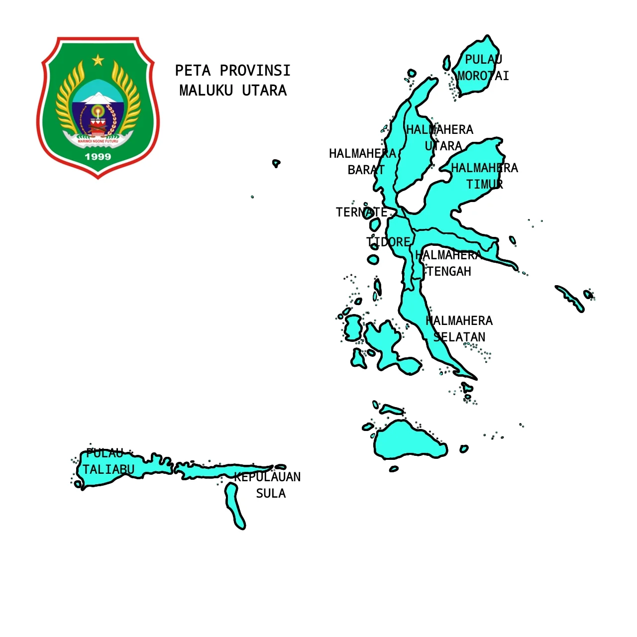
Centered at approximately 0.78°N, 127.37°E. The province spans numerous islands visible from altitude, with Halmahera's distinctive four-armed shape serving as the primary landmark. Mount Gamalama on Ternate (1,715 m) is a prominent volcanic cone off Halmahera's west coast. Sultan Babullah Airport (ICAO: WAMN) serves Ternate. Expect tropical weather with heavy cloud cover; best visibility in the dry season (October-March).
Nearby Stories
- Makian 23 km away
- Aketajawe-Lolobata National Park 35 km away
- Mount Ibu 52 km away
- North Halmahera Regency 105 km away
- The Ocean's Hidden Crossroads 136 km away
- Bitung 196 km away
- The Sea That Swallows Itself 197 km away
- Tangkoko Batuangus Nature Reserve 208 km away