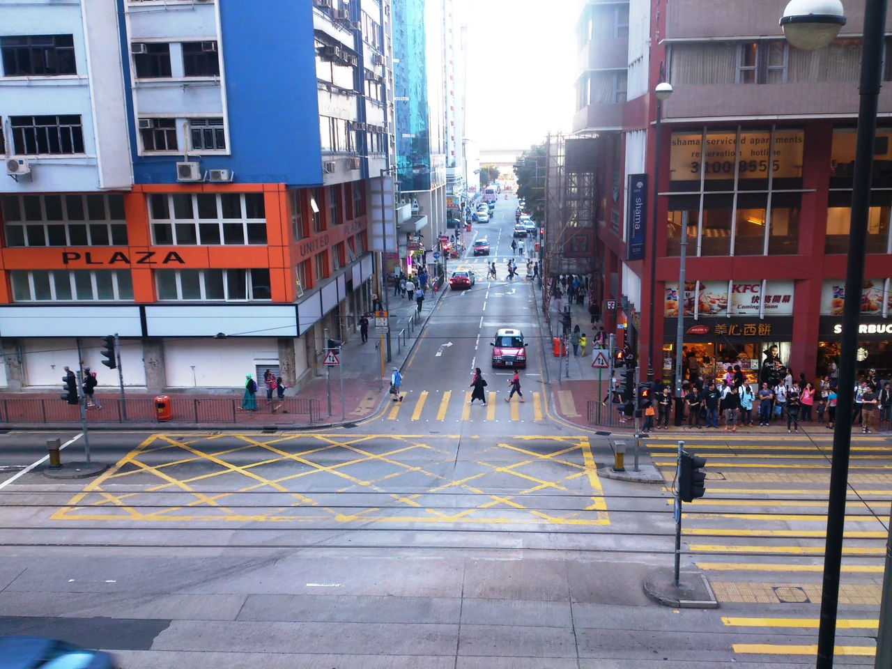

Oil Street
The name has nothing to do with petroleum. Oil Street took its name from the kerosene oil stores that once sat along the North Point waterfront in the early years of the colony — a practical label from a practical era that stuck even as the street reinvented itself several times over. Today the street runs barely 500 metres from King's Road toward Victoria Harbour, passing under the Island Eastern Corridor flyover near its northern end. That short distance contains more history per metre than most streets manage in their entire length.
Before the Reclamation
Oil Street's original geography no longer exists. The street once ended directly at the waterfront, giving the buildings along it a harbour orientation that shaped their purpose. The Royal Hong Kong Yacht Club built its headquarters and clubhouse here in 1908, the water access being the entire point. Over subsequent decades, land reclamation pushed the shoreline outward, and the street's northern end now terminates at reclaimed ground rather than open water.
The street runs northwest to southeast. From King's Road at its eastern anchor, it crosses Electric Road, intersects with Wang On Road and King Wah Road, then passes beneath the elevated Island Eastern Corridor before reaching the current shoreline near Victoria Harbour. The orientation and scale have barely changed even as everything around it has been rebuilt multiple times.
Two Years of Something Real
In 1998, when the Government Supplies Department relocated from its depot on Oil Street, the government did something quietly significant: it offered the vacant building to local artists and organisations on short-term tenancies. What formed was the Oil Street Artist Village — Hong Kong's first locally constituted art community. For two years, studios occupied former storage spaces, and the street developed an identity it had never previously claimed.
The village ended when the building was vacated in 2000. Some tenants moved to the Cattle Depot Artist Village in To Kwa Wan. But the episode planted a memory that would eventually shape what replaced it. When the government later developed the former Yacht Club building at No. 12 as Oi! art space in 2013, the precedent set by those two improvised years was already part of the street's identity.
Ghosts and Memory
Oil Street's ghost stories are well-known to North Point residents, and they cluster around a former mortuary on the street that ceased operations in 1998. The building's history — a place for the dead standing a short walk from a place for art — gives the street an atmospheric depth that purely commercial corridors lack.
The street's relatively flat profile and modest width make it easy to overlook. Yet the layering of uses over more than a century — kerosene stores, yacht club, government depot, artist village, art space — has made it a compressed record of how Hong Kong has reorganised its waterfront and its relationship to creative life.
What Comes Next
A major development project is planned for Inland Lot No. 8920, a site of approximately 7,887 square metres that has sat vacant since the Government Supplies Department departed in the late 1990s. Ocean Century Investment Limited won a 50-year land grant from the Lands Department in a competitive tender, beating five other companies. The approved proposal envisions hotels, residential units of no more than 400 dwellings, and public open space including a Sculpture Plaza intended to extend the cultural precinct anchored by Oi! to the south.
The hotel component — designed to evoke a sailboat's form, nodding to the Yacht Club history embedded in the block — would cap a transformation that has taken the street from industrial waterfront to cultural corridor over more than a century.
From the Air
Oil Street sits at approximately 22.2887°N, 114.1925°E on the north shore of Hong Kong Island in the Fortress Hill and North Point districts. The street is too narrow to identify from cruising altitude, but the North Point waterfront is visible as a distinct stretch of reclaimed land east of Causeway Bay. The Island Eastern Corridor — the elevated highway running along the north shore — serves as a useful aerial reference. Hong Kong International Airport (VHHH) is on Lantau Island, approximately 30 km to the west-southwest. Victoria Harbour lies immediately to the north.
Nearby Stories
- Lok Ma Chau Loop 2.3 km away
- Portas do Cerco 2.3 km away
- Kweilin Incident 17 km away
- Wanshan Archipelago Campaign 34 km away
- Nanxiong Formation 115 km away
- Battle of Nanpeng Island 148 km away
- Heyuan 169 km away
- Cape Maobitou 632 km away