
Outer Hebrides
The bedrock is three billion years old. That is the first fact to understand about the Outer Hebrides - the islands are built on Lewisian gneiss laid down before plants existed, before complex life on Earth had figured out how to be more than single cells. The gneiss is so impermeable that water sits on top of it, and where it lies flat as on Lewis, peat bog has been accumulating for thousands of years. Where it crumples upward as on Harris, it makes mountains. Either way, the islands have always been hard to farm and harder to leave, and the Atlantic finishes whatever the geology started.
Na h-Eileanan Siar
The Western Isles - in Gaelic Na h-Eileanan Siar - stretch from the Butt of Lewis in the north to Mingulay in the south, a chain 130 miles long but seldom more than a few miles wide. The population in 2021 was 26,830. Three island groups carry almost all of it, connected by ferries and now by road causeways. Lewis and Harris are technically one island, divided by mountains until modern roads stitched them together. Stornoway on Lewis is the only place big enough to be called a town, with an airport and the main ferry from the mainland at Ullapool. The Uists - Berneray, North Uist, Benbecula, South Uist, Eriskay - became linked by causeways during the twentieth century, creating one improbably long island of heath and water and small lochs. Barra and Vatersay sit furthest south, with a small airport where planes land on the beach when the tide allows. Around all of them, smaller islands scatter outward in fractal multiplication - Shiants, Monach, the dozens of skerries that have always been more sheep than people.
Three Billion Years of Almost Nothing
People have lived here since prehistoric times, leaving burial cairns, dun fortresses and standing stones to prove it. The Callanish stone circle on Lewis dates to about 3000 BC, raised by people who already had been here for a long time. The Vikings came in the early medieval centuries, building boats and trading networks across what they called the South Isles, until their defeat at Largs in 1263 forced Norway to cede the Hebrides to Scotland. Clan chiefs feuded with each other and with Edinburgh, but their wars happened mostly elsewhere. Then came 1746 and Culloden, which broke the clan system and opened the way for landlords interested in money rather than men. The Highland Clearances followed in the nineteenth century - tenant smallholders evicted to make way for sheep, sometimes whole villages emptied in a season. The stark, beautiful, empty landscape you see now was made then. The furrows of abandoned potato plots still scar hillsides above ruined farmsteads.
Gaelic and the Sabbath
There was never large-scale industry here. Harris Tweed remained a cottage industry, woven on handlooms in crofters' houses. Fishing was hampered by distance to market. With no influx of mainland workers, the islands became one of the last strongholds of Scottish Gaelic - the primary language on road signage, the language you still hear in the queue at the Stornoway Co-op. Everyone is fluent in English; learning a few words of Gaelic is appreciated. Religion divides the islands as much as the sea does. Lewis and Harris are dourly Protestant and sabbatarian, descended from the Free Kirk traditions of the nineteenth century; almost nothing stirs on a Sunday, swings in playgrounds are sometimes chained. Barra and South Uist are Catholic, and you may find shops open after midday on a Sunday. Benbecula sits somewhere in between. The line runs through history as cleanly as it runs through the islands.
Standing Stones and Blackhouses
Prehistoric sites abound, partly because the lack of plough-based farming preserved what plough country erased. Callanish on Lewis is the must-see: a Neolithic ritual landscape with a chief stone circle and outlying secondary circles labelled Callanish 2, 3 and so on. Dun Carloway, also on Lewis, is a broch - a sturdy Iron Age fortress tower of dry-stone construction. Bostadh on Great Bernera reveals an Iron Age house, though the original has been carefully reburied and visitors see a replica. North Uist has the Pobull Fhinn stone circle; South Uist has the Pollachar standing stone. Blackhouses - the traditional Hebridean dwellings, with cattle at one end and a peat fire smoking in the middle of the floor - survive at Arnol on Lewis (one is a museum), Garenin (some are holiday cottages, one a hostel), Berneray (the hostel is a restored blackhouse), and Howmore on South Uist. Step inside any of them and the smell of peat and stone is what your ancestors lived in.
Beach, Bird, Aurora
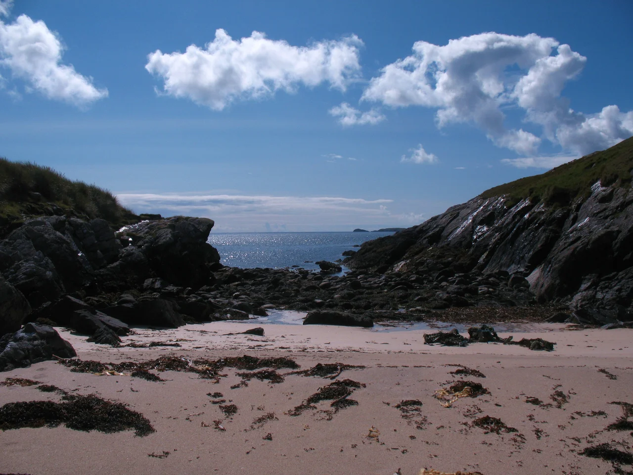
The beaches are the visual signature: long, sandy, white-pure, backed by machair - the sandy turf where wildflowers explode in brief summer brilliance. Luskentyre on Harris regularly tops world best-beach lists. The water is freezing. Birdwatching is exceptional: an RSPB reserve on North Uist, migrant and resident species in profusion, and St Kilda - the remote archipelago forty miles further out into the Atlantic - is the prize for those willing to take the rough boat ride. The army keeps an outpost on St Kilda; no civilians live there year-round, though volunteers work on Hirta in summer preserving the island's habitat and ancient farmsteads. The last resident left in 1930, defeated by illness, isolation and the modern world's slow encroachment. Aurora borealis appears regularly on clear winter nights, the islands free of light pollution. Summer never gets properly dark, so you see neither stars nor aurora then. The trade-off is long midge-ridden days. Pack repellent. Pack everything.
From the Air
The Outer Hebrides lie at approximately 57.76 degrees north, 7.02 degrees west, a 130-mile chain running roughly NNE-SSW off Scotland's northwest coast, separated from the mainland by the Minch. Three airports serve the chain: Stornoway (EGPO) on Lewis - the busiest, with paved runway and scheduled flights from Aberdeen, Edinburgh, Glasgow and Inverness. Benbecula (EGPL) handles flights from Glasgow and Stornoway. Barra (EGPR) is the world's only scheduled beach airport - flights land on the cockle-shell beach when the tide is out, schedule shifts with the tides. Recommended viewing altitude 3,000-6,000 ft AGL for the island chain perspective. Weather is famously fast-changing - Atlantic squalls, low cloud and headwinds are the norm. Callanish stone circle, Luskentyre beach on Harris, and the dramatic peaks of north Harris (Clisham 799 m) are the standout visual landmarks. St Kilda lies 40 nm further west into the Atlantic.
Nearby Stories
- Loch Druidibeg 5.6 km away
- Skye Trail 6.7 km away
- Neist Point 7.8 km away
- Portree 11 km away
- Spaceport 1 12 km away
- Uig, Lewis 16 km away
- Bayble Island 22 km away
- Flannan Isles Lighthouse 33 km away