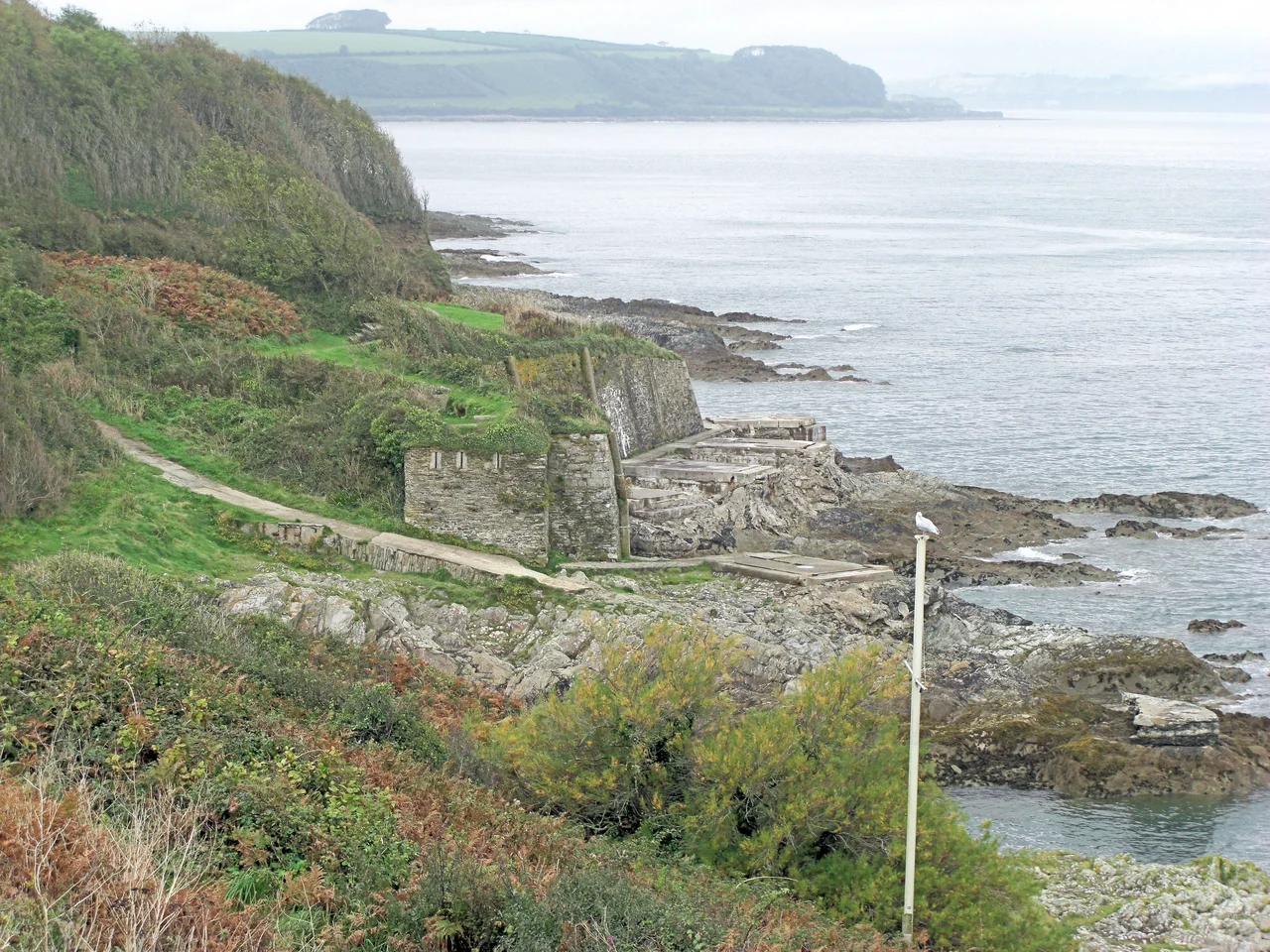

Pendennis Castle
On 17 August 1646, about 900 starving Royalist soldiers marched out of Pendennis Castle. Some were terminally ill with malnutrition. They had held the fort for five months against a Parliamentary army on land and a flotilla of ten ships at sea. Their commander, Sir John Arundell, had finally agreed to an honourable surrender two days earlier. Pendennis was among the last Royalist fortifications to hold out in the English Civil War. Raglan Castle in Wales surrendered just days later, on 19 August, and Harlech Castle held out until March 1647. The garrison emerged with colours flying and matches lit, the conventional honours for a defeated force that had fought to the limit of endurance. Behind them, the castle stood mostly intact. Four centuries later, it still does.
Henry VIII's Defence Programme
Pendennis was built between 1540 and 1542 because Henry VIII expected to be invaded. In 1533 he had broken with Rome to annul his marriage to Catherine of Aragon, who happened to be the aunt of the Holy Roman Emperor Charles V. In 1538 France and the Empire allied against him. The Pope encouraged the alliance to attack England. Henry responded with what he called a 'device' in 1539: instructions for the defence of the realm and the construction of artillery forts along the coast. The mouth of the River Fal at Carrick Roads was a critical anchorage, and the original plan called for five castles around it. Only two were built: Pendennis on the western headland and St Mawes Castle on the eastern, designed to provide overlapping cannon fire across the channel. John Killigrew, the local landowner, was appointed first captain. Construction cost £5,614. In modern terms, perhaps £4 million.
The Elizabethan Star Fort
In 1597 a Spanish fleet of around 13,000 men set out for Pendennis. Bad weather scattered them before they could land. The near-miss caused panic in the privy council. A review by Sir Walter Raleigh, Sir Nicholas Parker and Sir Ferdinando Gorges concluded that the original Tudor castle was no longer sufficient. The military engineer Paul Ivey was hired to surround the Henrician keep with a ring of Italian-style earthworks, embrasures and bastions, with a stone-revetted ditch around the lot. Four hundred local labourers worked on it between 1597 and 1600, costing about £80 a week in wages. The result was a star fort, designed for the new arithmetic of artillery warfare: angled bastions that allowed defending guns to sweep every approach. The keep at the centre dates from Henry. The ring around it dates from Elizabeth. The two are very different pieces of military thinking.
Five Months of Hunger
When civil war broke out in 1642 Pendennis was held for the king. The town of Falmouth below the castle was a Royalist port; Carrick Roads sheltered Royalist privateers. In early 1646, with the war lost almost everywhere else, Pendennis was one of the last fortresses still flying the king's colours. Two Parliamentary colonels, Fortescue and Hammond, bombarded the castle from the land. Captain Batten arrived with ten ships and blockaded it from the sea. Inside, the garrison rationed food. A Royalist warship was deliberately run aground north of the castle to give the defenders an additional gun platform. By July the food was gone. Some men tried to break out by sea to get supplies; they failed. Arundell finally agreed to terms on 15 August. Two days later the garrison walked out, some of them dying of starvation as they crossed the drawbridge.
Pay Dispute, 1647
There is a coda to the siege that says something about civil war finance. In 1647, the year after the Royalists left, Parliament cut the levels of the armed forces nationally. Most discharged soldiers got two months' pay. The Pendennis garrison was offered only one. The men, led by Colonel Richard Fortescue (the same Fortescue who had bombarded the castle the year before, now commanding it), mutinied. They seized the visiting Parliamentary commissioners and refused to release them until the additional month's pay was granted. Parliament, fearing a wider uprising in the New Model Army, negotiated. They paid the garrison in full and offered Fortescue a fresh posting. The castle's parapets had collapsed, the ramparts could be scaled, the ditches were full of brambles. Little was done about it until the 1730s.
Napoleonic Upgrade and the Half-Moon Battery
The French Revolutionary and Napoleonic Wars turned Falmouth back into a major military depot, and Pendennis was extensively rearmed. The government built the Half-Moon Battery in 1793, a new gun position just outside the 16th-century ramparts on the southern shoulder of the headland. New barracks went up inside the fortress. At its Napoleonic peak the castle held up to 48 artillery pieces. After Waterloo, the cycle reversed again: the castle was neglected, many of its guns went unserviceable, and buildings fell into ruin. The 1850s brought renewed French invasion fears and an investment in 32- and 56-pounder guns. In 1885, with new concerns about steam-powered torpedo boats, the engineers laid an electrically operated minefield across Carrick Roads, controlled jointly from Pendennis and St Mawes.
The Last Real War
The castle was rearmed for the First World War but saw no action. It was rearmed again for the Second, when Falmouth was a critical embarkation point for American troops preparing for D-Day. New radar-controlled 6-inch Mark 24 guns were installed in 1943. The Pendennis gun batteries were used to defend against German E-boats during the run-up to the Normandy landings, and the castle saw action against Luftwaffe aircraft attacking the harbour. In 1956 it was decommissioned. The Ministry of Works took over, cleared away many of the more modern military buildings, and opened the site to visitors. English Heritage now runs it. About 74,000 people visit each year. Historic England considers Pendennis 'one of the finest examples of a post-medieval defensive promontory fort in the country.' Four centuries of layered fortification, all on one Cornish headland.
From the Air
Pendennis Castle sits at 50.147°N, 5.047°W on the eastern tip of the Pendennis headland that defines the western side of the mouth of Carrick Roads. From the air it is unmissable: a star-shaped ring of grass-covered ramparts on a high promontory, with the original Henrician circular keep visible at the centre. The headland drops in cliffs on the south and east sides. St Mawes Castle, its smaller Tudor sister fort, sits across the harbour mouth a mile to the east on the opposite headland. Falmouth town is immediately west and north of the castle along Castle Beach and into the docks. Newquay Cornwall (EGHQ) is 20 nm north-northeast; Land's End (EGHC) is 23 nm west. A descent to 1,500-2,000 feet AGL on a clear day gives an excellent geometric view of the star fort earthworks; the polygonal Tudor keep at the centre is best appreciated from directly overhead.
Nearby Stories
- Morvah 2.9 km away
- Carnewas and Bedruthan Steps 6.1 km away
- Liskeard 7.5 km away
- Battle off Lizard Point 14 km away
- Polperro 17 km away
- MV Cita 47 km away
- HMS Affray 86 km away
- 1979 Fastnet Race 96 km away