Peruvian Amazonia
More than 60 percent of Peru is covered by Amazon rainforest. Five percent of Peruvians live there. That single ratio tells you most of what matters about Peruvian Amazonia - a region so vast it makes the Andean sierra and coastal desert look like narrow strips, a region so depopulated that an area bigger than Spain is watched, on a good day, by fewer than a hundred environmental prosecutors. Peru has the second-largest share of the Amazon after Brazil. It has the most biologically diverse ecosystem on Earth within its borders. And it has, for the last several decades, watched that ecosystem come apart under the pressure of illegal logging, illegal gold mining, and oil extraction that the state cannot - or will not - stop.
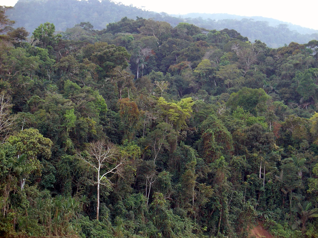
Two Jungles, One Basin
The Peruvian Amazon divides into two ecoregions that behave very differently. The lowland jungle - Selva Baja, sometimes called the Omagua region - sits between 80 and 1,000 meters above sea level and averages 28 degrees Celsius with 75 percent humidity and 260 centimeters of rain a year. Its soils look rich but are not; constant heat and water leach the nutrients out, so the famous green canopy sits on surprisingly poor ground. Through this lowland move some of the greatest rivers on Earth - the Apurimac (which is the true source of the Amazon), the Ucayali, the Marañón, the Huallaga, the Urubamba, the Napo, the Putumayo, the Madre de Dios. Up the eastern slope of the Andes rises the highland jungle - Selva Alta, Rupa-Rupa, the ceja de selva - between 1,000 and 3,800 meters, where cool air and rugged terrain isolate pockets of endemic species. This is where cloud forests drip, and where orchids and hummingbirds share niches that exist nowhere else.
The Cities in the Green
Iquitos is the largest city you cannot reach by road. Half a million people at 104 meters above sea level on the Amazon River, served only by boat and plane, a boom town from the rubber era that still runs on mototaxis and river commerce and a bilingual mix of Spanish, Quechua, and indigenous Amazonian languages. Pucallpa, the second major Amazon city, sits on the Ucayali with 380,000 inhabitants. Then Yurimaguas on the Huallaga. Puerto Maldonado on the Madre de Dios. Tarapoto in San Martín. Moyobamba, Jaén, Rioja, Bagua - each a regional hub serving an enormous hinterland where indigenous communities like the Asháninka, the Aguaruna, the Cocama-Cocamilla, and the Urarina still live. Some groups remain in relative or complete isolation from the rest of the world; the Peruvian state recognizes at least fifteen uncontacted tribes.
The Rebellion That Held for 150 Years
In the 1730s Franciscan missionaries established stations in the Gran Pajonal - the high-altitude plateau held by the Asháninka. In the 1740s the Asháninka destroyed them. Their leader, Juan Santos Atahualpa, took the name of the last Inca and claimed the mantle of resistance. Spanish military expeditions tried repeatedly to suppress the rebellion and failed. The missions stayed destroyed. The Gran Pajonal remained in Asháninka hands for a hundred and fifty years, right up through the late nineteenth century, when the Amazon rubber boom brought raiders who enslaved the survivors to collect latex from wild Hevea trees. European diseases did what European soldiers could not. The boom passed. The damage stayed.
The Laundering Machine
In 2012 the World Bank estimated that 80 percent of Peru's timber exports were illegally harvested. The Environmental Investigation Agency produced a report titled The Laundering Machine describing how it works: concessionaires submit lists of trees that do not exist, complicit officials approve permits for this nonexistent wood, and the permits then legitimize whatever timber the companies actually cut. With fewer than a hundred environmental prosecutors covering an area bigger than Spain, enforcement is near impossible. The 2009 Peru-US Free Trade Agreement was supposed to fix this. An oversight body called OSINFOR was created. US officers trained a handful of Peruvians. But at least 35 percent of Peruvian timber exports to the United States between 2008 and 2010 still contained illegal wood - and that only counts species CITES regulates. On September 1, 2014, four indigenous leaders were murdered near the Brazilian border. One of them was Edwin Chota, who had been asking the government for protection against illegal loggers. Investigators blamed the loggers for the killings.
Gold, Oil, and the View from Space
Illegal gold mining has devoured a piece of Madre de Dios big enough to see from orbit. Gold prices rose 360 percent over the decade to 2021, and an estimated 30,000 miners without permits now operate along the Interoceanic Highway that connects Peru to Brazil. They use mercury to amalgamate gold particles, then burn it off - usually with no protective equipment - releasing metallic vapor that settles into rivers and bodies. "You can basically learn how to be a miner in a half an hour," Luis Fernandez of Wake Forest University's Amazonian research center told a reporter in 2021. Oil extraction has expanded from 150,000 square kilometers of leases in 2008 to over 730,000 square kilometers today. The Camisea Gas Project on Lot 88 saves Peruvian consumers billions in energy costs and impacts the daily lives of indigenous residents on a patch of land the World Wildlife Federation called one of the most critical biodiversity zones left. Only 7 percent of the oil blocks in the Western Amazon have been extracted so far. Which means there is much more left to take.
From the Air
Centered near 5.65 degrees S, 75.15 degrees W in the heart of the Peruvian Amazon. The region covers 782,880 square kilometers by ecological definition - about 61 percent of Peruvian territory. Main airports: Iquitos Francisco Secada Vignetta (SPQT), Pucallpa David Abensur Rengifo (SPCL), Puerto Maldonado Padre José Aldamiz (SPTU), Tarapoto Guillermo del Castillo Paredes (SPST). VFR navigation requires tracking major rivers - Ucayali, Marañón, Huallaga, Madre de Dios - as the canopy is otherwise undifferentiated. Morning flights recommended; afternoon convective buildup can exceed FL400. Rainy season November through March brings reduced visibility and saturated humidity on the ground.
Nearby Stories
- Huallaga River 39 km away
- Iquitos Varzea 46 km away
- 2005 Northern Peru Earthquake 90 km away
- Matsés National Reserve 128 km away
- Nauta 148 km away
- Moyobamba 153 km away
- 1990-91 Alto Mayo Earthquakes 229 km away
- Cruzeiro do Sul, Acre 276 km away