
Plover Cove Country Park
There is a waterfall pool in Plover Cove Country Park, barely 25 metres across and only 2 metres deep, that Hongkongers have been visiting for generations — not for the cascade, exactly, but for the story. According to local folklore, a bride drowned here on her way to her wedding, carried by the water before she could arrive. The pool is called Bride's Pool. It is an arresting name to find on a hiking trail map, and it captures something essential about this corner of Hong Kong's northeastern New Territories: even the smallest features carry weight, layered with time and story in a landscape that was old before the city existed.
Wild Corners of a Crowded City
Plover Cove Country Park was established on 7 April 1978, covering 4,594 hectares of natural terrain across the North District and Tai Po District. A northern extension, Plover Cove (Extension) Country Park, followed on 1 June 1979, adding the Double Haven islets and the distant island of Ping Chau. Together they protect one of the largest continuous natural areas in Hong Kong — a fact that surprises visitors who arrive expecting a tame urban green space and find instead ridgelines dropping steeply to inlets, villages abandoned for decades, and forests thick enough to hide animals rarely glimpsed in the wider city. The park exists just a few kilometres from Shenzhen's apartment towers, yet it feels genuinely remote. That contrast is part of what makes it remarkable: wild country at the edge of one of the world's densest urban conurbations.
Animals in the Understorey
Chinese pangolins move through the park's woodlands at night, armoured and endangered. Leopard cats — small, spotted, and largely nocturnal — share the territory with Malayan porcupines and Chinese ferret-badgers. Pallas's squirrels chatter in the tree canopy. The birdlife includes species rarely seen elsewhere in Hong Kong: Indian cuckoos have been recorded on the island of Kat O, and red-winged crested cuckoos in the forest at Lai Chi Wo, a walled Hakka village within the park that has drawn conservation attention for both its heritage architecture and its surrounding secondary forest. The butterfly fauna is exceptional. Wu Kau Tang and Lai Chi Wo are particularly rich collecting grounds, and two species new to Hong Kong — the yellow coster and the bi-spot royal — were discovered here in recent years. For naturalists, Plover Cove is an argument for the value of proximity: species diversity at the door of a city of seven million people.
Rock Older Than the City Deserves
Plover Cove's geological interest is a different kind of ancientness. Ping Chau, the easternmost island in Hong Kong, contains some of the oldest exposed rock formations in the territory, its layered sedimentary strata eroded into dramatic sea stacks and platforms. Ma Shi Chau, a tombolo connected by a narrow causeway to the mainland, exposes similarly ancient formations, and Wong Chuk Kok Tsui on the northeastern coast adds further geological variety. For visitors on the Ping Chau Country Trail, the landscape reads as a compressed timeline: rock laid down hundreds of millions of years ago, shaped by the South China Sea, and now accessible on a Sunday morning ferry. The geological geopark designation that covers parts of this coast reflects genuine scientific interest, not just a tourism label.
Islands and Inlets of the Extension
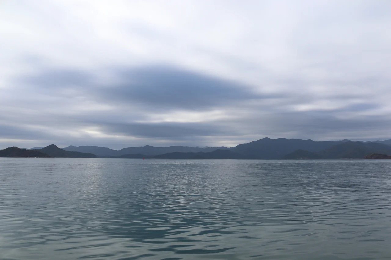
The northern extension reaches into Mirs Bay in unexpected ways. Yan Chau Tong Marine Park, contained within the extension's boundaries, protects coral reefs and marine life in one of Hong Kong's quieter bodies of water. The island of Ping Chau — more formally called Tung Ping Chau to distinguish it from another island of the same name — sits at the northeastern extreme of Hong Kong's territory, about 2 kilometres from the mainland Chinese coast at its closest point. Other islands within the extension include Crooked Island, Crescent Island, Double Island, and Port Island, scattered across Long Harbour and Tolo Channel. These are not tourist destinations in any crowded sense. On weekdays especially, the inlets are quiet enough that you can hear the water and the birds and, occasionally, a sea breeze moving through the casuarinas. The world's busiest harbour is visible on the southern horizon.
Trails Through the Terrain
The hiking network within Plover Cove Country Park is substantial and varied. The Bride's Pool Nature Trail winds through secondary woodland to the pool and its waterfall. The Tai Mei Tuk Family Walk runs along the reservoir shore, accessible to walkers of most ability levels. The Wu Kau Tang Country Trail ventures deeper into the interior, passing through an area of abandoned villages where the evidence of earlier habitation survives in stone walls and old trees. The Chung Pui Tree Walk makes its way through a grove of mature trees near Plover Cove Reservoir, one of Hong Kong's major water supply reservoirs, which sits just outside the country park boundary. In the extension, the Ping Chau Country Trail circles the island's perimeter, passing sea cliffs and the distinctive flat-topped rock platforms that geologists call 'wave-cut benches.' Taken together, the trails offer a serious introduction to northeastern Hong Kong's terrain.
From the Air
Plover Cove Country Park is centred around 22.521°N, 114.245°E in Hong Kong's northeastern New Territories. From the air, the park appears as a green-and-blue patchwork of wooded ridges, reservoir water, and the open waters of Mirs Bay extending northeast. Plover Cove Reservoir's distinctive shape — a large coastal inlet enclosed by a dam — is clearly identifiable from altitude. The islands of the extension, including Ping Chau at the bay's eastern edge, are visible as small green shapes in the blue water. Hong Kong International Airport (VHHH) lies approximately 55 km to the southwest. On a clear day, the Chinese mainland coast is visible along the northern edge of Mirs Bay, just a few kilometres from the park boundary.
Nearby Stories
- Hong Kong Disneyland 4.1 km away
- Mount Guanyin (Dongguan) 7 km away
- 2024 Lixinsha Bridge Collapse 7.4 km away
- Portas do Cerco 12 km away
- Lotus Hill 15 km away
- Nanxiong Formation 78 km away
- Heyuan 130 km away
- Checheng Fu'an Temple 629 km away