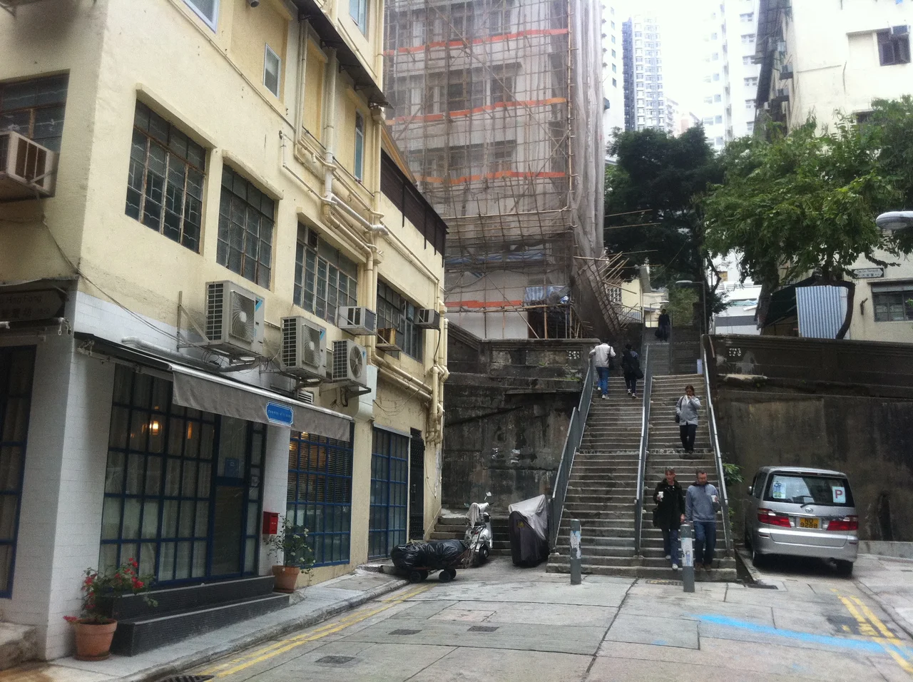

Po Hing Fong
Before anyone called it PoHo — before the bohemian cafés and design studios moved in, before it became the kind of neighborhood that gets written up in travel guides — Po Hing Fong was a dead-end street where three different histories collided. Revolutionaries met in secret here. A governor rented a house here from the man who would later be buried beneath its rubble. And on a July morning in 1925, nearly eighty people who lived on this short street died when the hillside above them collapsed. The street itself survived. The same could not be said for everyone who called it home.
Where Revolutionaries Took Shelter
The Tongmenghui was Dr Sun Yat-sen's underground organization, an anti-Qing revolutionary movement that worked in the early twentieth century to bring down China's last imperial dynasty. Operating in Hong Kong — then a British colony, beyond the reach of Qing authorities — the network needed safe places to receive activists, pass messages, and plan. Po Hing Fong hosted one of the Tongmenghui's reception centres, a discreet presence on a quiet residential street. Sun Yat-sen's connections to this part of Hong Kong ran deep: the school where he had studied as a young man, Queen's College on Hollywood Road, sat barely a short walk away. Po Hing Fong offered shelter to people whose revolutionary activities made them targets — men and women who needed somewhere in the city that was neither visible nor easily searchable.
A Governor in a Borrowed House
Chau Siu-ki was the kind of figure who accumulated presence in a city: an insurance and shipping magnate, a real estate developer, a member of Hong Kong's Legislative Council. He owned two houses on Po Hing Fong. One of them, at some point in his career, he made available to Cecil Clementi, a British civil servant who would later serve as Governor of Hong Kong from 1927 to 1930. The arrangement tells something about how colonial Hong Kong worked — the tightly interwoven social world where a Chinese businessman of sufficient standing could house the man who might one day govern the territory. Neither Chau nor Clementi could have anticipated how the street would rewrite both their stories on a single morning in 1925.
The Morning the Hill Came Down
Three days of heavy rain in July 1925 saturated the hillside above Po Hing Fong. Shortly before nine o'clock on the morning of 17 July, an extensive retaining wall near the Caine Road and Ladder Street end of the street gave way. Seven houses were swept away. Thirty families had been living in them. Nearly eighty people died. Chau Siu-ki, the man who had owned two houses on this street and rented one to a future governor, was among those killed, along with many members of his family. His son, Chau Tsun-nin, miraculously survived — he had fallen from his bed at the moment of collapse and ended up sheltered under a table that bore the weight of the bricks. He recovered, became a barrister, and went on to serve on both the Executive Council and the Legislative Council of Hong Kong. Survival on a street like that shaped a life.
PoHo: The Neighbourhood Now
Decades have softened what the disaster left behind. The houses were rebuilt. The street continued as the cul-de-sac it has always been. In recent years it has been discovered by artists, designers, and the kind of small businesses that gravitate toward streets with character and lower rents: cafés with a loose aesthetic, boutiques selling things you wouldn't find in a mall, studios where work and display share the same room. The neighbourhood has picked up the nickname PoHo — a nod to Manhattan's SoHo, the shorthand that Hong Kong sometimes uses to signal a particular kind of creative transformation. Along the Dr Sun Yat-sen Historical Trail, a marker acknowledges the street's earlier history. The revolutionary past and the artisan present share the same short block, which has always been where interesting things happen in cities: in the cul-de-sacs, the dead ends, the streets that go nowhere except exactly here.
From the Air
Po Hing Fong sits at 22.2844°N, 114.1477°E in the Sheung Wan district of Hong Kong Island, on the steep hillside between Hollywood Road and Caine Road. The street itself is too small to identify from the air, but the terraced Mid-Levels slope above Central is clearly visible on approach to Hong Kong International Airport (VHHH), approximately 25 nautical miles to the west-northwest. At low altitude on the northern shore approach, the tight urban grid of Sheung Wan — where the street density increases dramatically up the hill — marks the location. Viewing altitude of around 1,000 feet provides the clearest perspective on the topography that made the 1925 landslide so catastrophic.
Nearby Stories
- Lok Ma Chau Loop 2.3 km away
- Portas do Cerco 2.3 km away
- Kweilin Incident 17 km away
- Wanshan Archipelago Campaign 34 km away
- Nanxiong Formation 115 km away
- Battle of Nanpeng Island 148 km away
- Heyuan 169 km away
- Cape Maobitou 632 km away