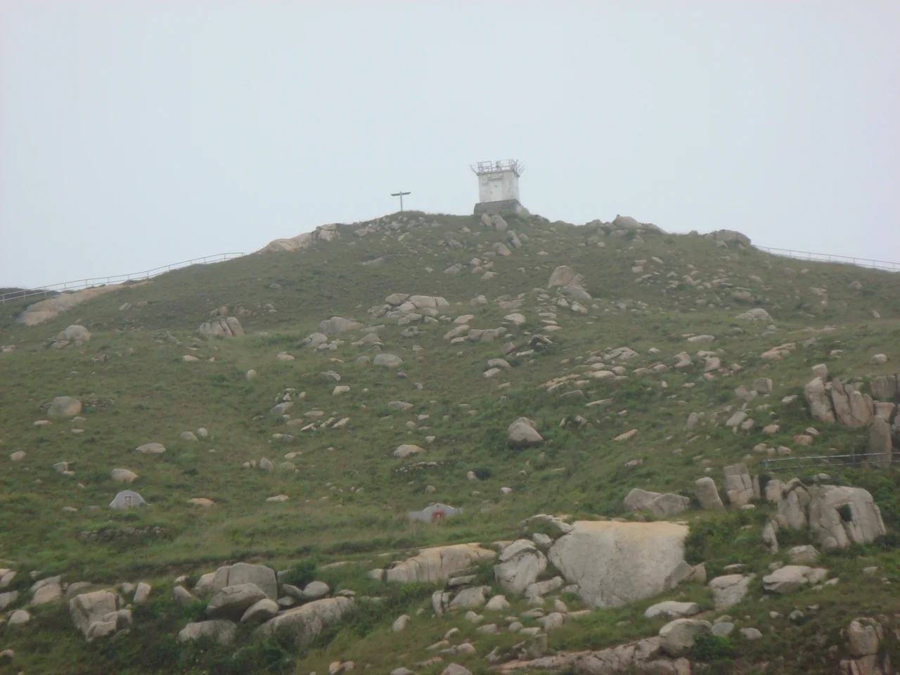

Po Toi Lighthouse
There is no road to reach it. No ferry on demand. The southernmost lighthouse in Hong Kong sits at the tip of Po Toi island, at the end of a long flight of stairs cut into the hillside of a pointed peninsula — and getting there is itself a small adventure. The lighthouse marks the ragged southern edge of the Po Toi Islands group, where the South China Sea opens up and the shipping lanes to one of the world's busiest ports begin their final approach.
Edge of the Chart
Po Toi sits about 9 kilometres southeast of Stanley, the farthest inhabited island in Hong Kong's chain. The lighthouse — officially Lighthouse 126, also called Nam Kok Tsui after the peninsula it crowns — was constructed and lit in 1970. It is a functional, unpretentious structure: a concrete equipment building with a gallery and light mounted at the top. No elegance to speak of. Its job is to be visible, not beautiful. And it does that job at the edge of the chart, where the land finally lets go.
The Walk to Get There
Reaching the lighthouse requires hiking the Po Toi Country Trail, a path that winds across the island's rugged terrain past ancient rock carvings believed to date back over 3,000 years. The trail eventually reaches the southeast peninsula and the stairway with its railing — a thin line of human order imposed on a wild, wind-exposed headland. On clear days, the view from the top sweeps across open ocean. Freighters and container ships pass in the middle distance, bound for or departing from Kwai Tsing Container Terminals to the north. The lighthouse earns its existence with every one of them.
Solitude by Design
Po Toi is one of Hong Kong's few islands genuinely remote enough to feel isolated. A small fishing community survives there, and kaido ferries make the trip from Aberdeen and Stanley on weekends — but on weekdays the island is quiet. The lighthouse operates automatically; no keeper lives there. Hikers make the trek, birdwatchers come during migration season when Po Toi lies directly on one of Asia's major flyways, and occasionally sailors take note of its beam. For all of Hong Kong's vertical, neon-lit density, this small concrete light at the territory's southernmost reach is about as far from all that as it is possible to be.
A Light at the Boundary
Lighthouses have always marked thresholds — the line between known and unknown, between safe water and danger. Po Toi Lighthouse sits at a particular kind of threshold: the boundary of one of the world's most consequential port cities. Ships that clear this point are entering or leaving the orbit of Hong Kong harbour, one of the busiest deep-water ports on Earth. From a helicopter above, the lighthouse reads as a small white mark at the island's pointed southern tip — easy to miss against the scale of the sea. From the deck of a vessel navigating the eastern approaches at night, it would be the first thing a navigator looks for.
From the Air
Po Toi Lighthouse sits at 22.157°N, 114.258°E on the southeastern tip of Po Toi island, about 9 km southeast of Stanley and roughly 20 km south of Hong Kong International Airport (VHHH). At an altitude of 500–1,000 feet, the island's distinctive pointed southern peninsula and the white lighthouse structure are visible on a clear day. Look for the chain of small islands extending southeast from the main mass of Hong Kong Island. The surrounding waters are active shipping lanes — expect to see container vessels in transit.
Nearby Stories
- Lok Ma Chau Loop 2.3 km away
- Portas do Cerco 2.3 km away
- Kweilin Incident 17 km away
- Wanshan Archipelago Campaign 34 km away
- Nanxiong Formation 115 km away
- Battle of Nanpeng Island 148 km away
- Heyuan 169 km away
- Cape Maobitou 632 km away