
Proserpine
Most people who land at Proserpine are looking somewhere else. They step off the plane at the Whitsunday Coast Airport, scan for the shuttle to Airlie Beach, and are gone within the hour, eyes already on the turquoise islands twenty minutes up the road. They miss the town behind the airport, a place named for a Roman goddess of the underworld and built on something far earthier: sugar. Cane trains still rattle across the coastal plain here, and the smell of the crushing season hangs over the streets in spring. Proserpine is not the destination. It is the working town that makes the holiday possible.
A Name from the Underworld
It is an odd name for a sugar town. Proserpine takes its name from Proserpina, the Roman goddess of fertility who was carried off to rule the underworld each winter, returning each spring to bring the crops back to life - the deity whose myth explained the seasons themselves. The story goes that the explorer George Elphinstone Dalrymple, struck by the richness of the country on an expedition in 1859, named the river for her, though he may never have actually set eyes on the place, and the name may instead have passed from an early pastoral run nearby. Whichever way it came, the choice turned out apt. A goddess of harvests and returning green presides, fittingly, over a district that has lived by its cane fields ever since.
Built on Cane
Sugar has shaped this town since the 1880s, and a mill has stood here since 1897, crushing the harvest of the surrounding floodplain through every season since. Drive in during the crush and you share the road with cane trains hauling their loads to the mill, the plumes rising over a townscape of Art Deco shopfronts that hint at the prosperity good seasons once brought. The fields run flat to the horizon in every direction, green when the cane is high, blackened where it has been burnt before harvest. This is agricultural Queensland at work, unhurried and unbothered by the tourist traffic streaming past on its way to the coast.
The Gateway
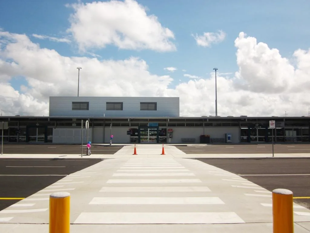
Geography made Proserpine a doorway. It sits on the inland highway and the rail line, with the region's main airport just outside town, which means almost everyone heading for Airlie Beach and the Whitsunday Islands funnels through here first. The Spirit of Queensland still runs the long route down to Brisbane, and the Whitsunday Coast Airport handles the flights that connect this stretch of coast to the rest of the country. For a town of only around 3,600 people, Proserpine carries an outsized load - the logistical hinge on which one of Australia's great holiday regions quietly turns.
Crocodile Country
The Proserpine River is a reminder that this is the tropics, and that the tropics belong partly to something older and more dangerous than sugar. Estuarine crocodiles live in these waters in real numbers - the river system is home to an estimated population well into the hundreds - and croc-spotting cruises run out onto the slow brown water to find them basking on the banks. They are the largest living reptiles on the planet, and seeing one slide off the mud into the river focuses the mind on how thin the line is between farmland and wilderness here. The cane fields stop. The mangroves begin. The crocodiles were here long before either.
Beyond the Town
Linger a little and the country around Proserpine opens up. Cedar Creek Falls tumbles into a swimming hole in the hills nearby, busy after rain and a local favourite on hot afternoons. Lake Proserpine, the dam that waters the cane, draws anglers and birdwatchers to its quiet edges. None of it competes with the Whitsundays for glamour, and none of it tries to. This is the everyday landscape behind the brochure - the falls, the lake, the river and the mill - the working hinterland that most visitors speed past but that rewards anyone curious enough to stop.
From the Air
Proserpine sits at 20.40 degrees south, 148.58 degrees east, on the coastal floodplain inland from Airlie Beach in the Whitsunday Region. The defining landmark is the Whitsunday Coast Airport (YBPN / PPP) just outside town, the main gateway airfield for the Whitsundays; from the air the surrounding grid of sugarcane fields, the Proserpine River winding through mangroves, and Lake Proserpine to the southwest are all easy to pick out. Recommended viewing altitude is 2,000 to 4,000 ft over the floodplain. The Coral Sea and the Whitsunday Islands lie to the east-northeast. Expect tropical convective cloud and afternoon storms in the wet season (roughly November to April), with sea breezes shaping the coastal air through the day.
Nearby Stories
- Collinsville, Queensland 18 km away
- Eungella National Park 19 km away
- Brampton Island 23 km away
- Bowen 39 km away
- Keswick Island 59 km away
- Cape Upstart National Park 61 km away
- Coral Sea Islands 230 km away
- Lake Dunn 318 km away