.jpg)
Public Transport in Athens
When engineers dug the tunnels for the new Athens Metro lines in the 1990s, they kept hitting history. Every shaft sunk into the soil beneath the capital turned up pottery, graves, walls, the everyday debris of a city that has been inhabited for thousands of years. Rather than haul it all away, the system put it on display. Today, in stations like Syntagma and Acropoli, glass cases of ancient artifacts stand a few steps from the turnstiles, and commuters wait for the train beside the relics their ancestors left behind. It is the perfect emblem of moving through Athens: you are never just crossing the modern city. You are riding over the old one.
A Network for Four Million
Athens moves a vast population. The transport system serves more than four million inhabitants spread across the sprawling Attica basin, and it does so with an unusually full toolkit: a dense bus network, three metro lines, trams, suburban and national rail, ferries from its great port, and even a funicular climbing one of its hills. Coordinating much of it is OASA, the Athens urban transport organization, the umbrella under which the city's separate operators run. For a metropolis pressed between mountains and sea, with ancient streets too narrow to widen, layering transport above and below the surface has been less a luxury than a necessity.
The Oldest Line and the New Ones
The metro's roots run surprisingly deep. Line 1, the Green Line, traces its origin to 1869, making it one of the oldest urban rail lines in the world. For most of its 25.7-kilometer run from the port of Piraeus up to leafy Kifissia it travels at ground level, threading 24 stations through the city's spine. The underground Red and Blue lines came much later, built largely in the 1990s and opening in January 2000 in time for the new century. Together the three lines carry well over a million passengers on a typical day, the trains sliding beneath a city that, two decades before, had almost no subway at all.
Buses, Wires, and the Sea
Above ground, the network is just as varied. OSY runs the buses - a fleet of nearly 1,900 vehicles, formed in 2011 by merging the city's two older operators. Hundreds of them are electric trolleybuses, drawing power from overhead wires strung above the avenues, though each one carries a diesel engine in reserve in case the power fails. Out at the edges, intercity coaches fan across the mainland, and at Piraeus the system meets the water: ferries depart for the scattered islands of the Aegean, and cruise ships nose into one of the Mediterranean's busiest harbors. A single journey can begin underground beside an ancient grave and end on the deck of a boat bound for the islands.
The City That Never Quite Sleeps
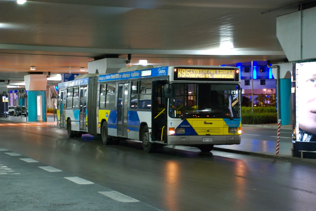
The rhythm of Athenian transit keeps stretching later. A handful of bus lines - the 11 and the 040 among them, along with night routes and airport express services - have long run around the clock. In September 2025 the city went further, introducing 24-hour service on select bus and metro lines on Saturdays, hoping to keep residents and tourists moving through the small hours. The express buses from Athens International Airport, the X93, X95, X96 and X97, still run all day and night, each one threading toward a different corner of the capital. Slowly, a city famous for its ancient past is learning to stay awake all night in the present.
From the Air
The Athens transport network spans the entire Attica basin, centered roughly on 38.10 degrees N, 23.76 degrees E. From the air, the urban grid sprawls between Mount Hymettus to the east, Mount Parnitha to the north, and the Saronic Gulf to the south; the port of Piraeus and its breakwaters mark the system's maritime end. Athens International Airport (LGAV) sits about 30 km east-southeast of the city center, itself linked to the network by Metro Line 3 and the express buses. Best viewed in the clear, dry visibility typical of the Attic summer.
Nearby Stories
- Great Sand Beach 5 km away
- Battle of Delium 7.7 km away
- Tower of Aliartos 9 km away
- HMHS Britannic 10 km away
- Saronic Gulf 15 km away
- Sousaki Volcano 17 km away
- Sanctuary of Apollo Maleatas 24 km away
- Skyros 66 km away