Pucallpa
The Shipibo called it May Ushin - red earth - long before anyone drew a line around it and named it a capital. The red clay of the Ucayali's banks is still visible after heavy rain, staining the river a color that looks less like water and more like something the jungle is bleeding into. Pucallpa grew up here, at the place where the road from Lima finally gives up and the Amazon basin begins in earnest. Look for it from altitude and you'll see a grid of streets pressed against an enormous brown river that loops and oxbows toward Brazil.
The Road That Took a Century
For most of its history, Pucallpa was a place you could only reach by boat. Franciscan missionaries founded a small settlement here in the 1840s, among Shipibo-Konibo families they had persuaded to gather on the riverbank. For the next hundred years, the town sat almost entirely cut off from the rest of Peru by the Andes and the forest. Starting in the 1880s, engineers kept announcing a railway that would connect Pucallpa to Lima via the Ferrocarril Central Andino. The project was started, dropped, started again, and finally abandoned. It took until 1945 for a road to punch through - the Federico Basadre highway - crossing Tingo Maria and Cerro de Pasco to reach the jungle at last. The road is still the city's lifeline, and the rainforest has never stopped trying to take it back, washing out sections with every heavy season.
Shipibo Country
The Shipibo-Konibo have lived along the Ucayali and its tributaries for millennia, and their distinctive geometric designs - intricate patterns that look equally at home on pottery, textiles, and skin - have become one of the visual signatures of the Peruvian Amazon. Shamans here describe those patterns as songs made visible, the lines they hear during ayahuasca ceremonies translated into ink and thread. That tradition is now one of Pucallpa's main attractions, drawing visitors from around the world to lodges at Yarinacocha, the oxbow lake just north of the city. The Shipibo, Konibo, and Shetebo peoples, once counted at around 25,000 across 108 hamlets on the river, remain a living presence here, not just a historical footnote.
The Survivor
On Christmas Eve 1971, LANSA Flight 508 was struck by lightning over the forest south of Pucallpa. The Lockheed Electra broke apart in a thunderstorm. Of the ninety-two people aboard, Juliane Koepcke - seventeen years old, still strapped into her seat - fell two miles through the canopy and survived. She walked through the jungle for eleven days, using the knowledge her biologist parents had drilled into her, following a small stream until it led her to loggers who carried her back to the city. Pucallpa has had its share of aviation tragedies, including a storm-caused crash on approach in 2005, but Koepcke's story is the one that turned the city into a strange kind of landmark in aviation history - the place at the edge of an impossible survival.
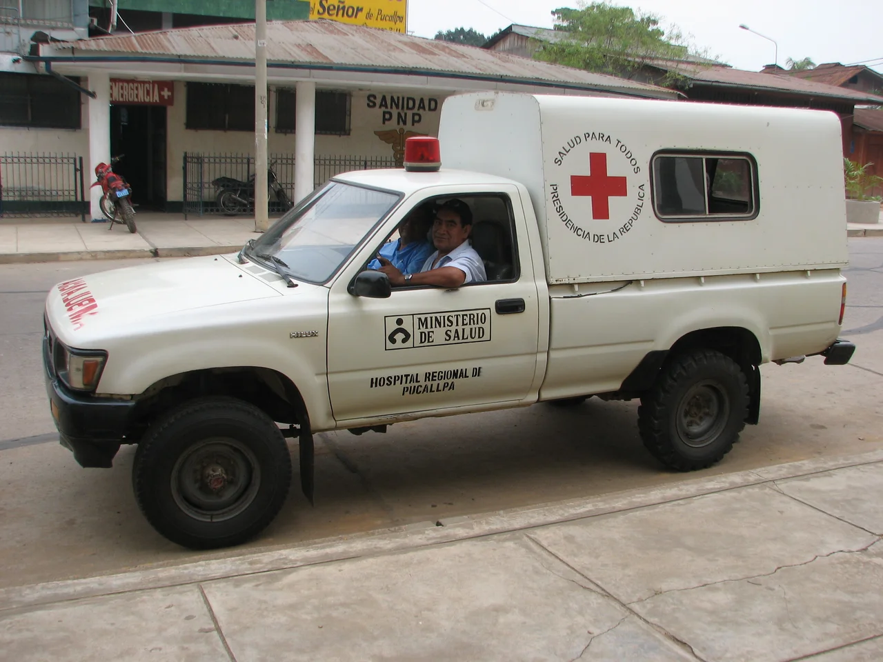
A Wet, Loud, Growing City
Today Pucallpa is Peru's tenth-largest city, with around 340,000 people across the districts of Calleria, Yarinacocha, and Manantay. It is one of the country's fastest-growing urban areas, absorbing migrants from all over the Amazon and the Andes. The climate is relentlessly tropical: averages around 26 degrees Celsius, peaks above 37, and a rainy stretch from October through April when the Ucayali rises, drowns the floating ports of La Hoyada and Puerto Italia, and forces life upward onto stilts. The river is still the primary road. Boats run downstream to Iquitos and across to Leticia at the tri-border with Colombia and Brazil. The municipal markets along the waterfront sell paiche - an Amazonian fish that can grow to three meters and three hundred kilograms - alongside every jungle food you've never heard of.
Cement and Palm Leaf
The city itself is a study in what happens when traditional architecture meets rapid urbanization. Plaza Grau holds the eight-sided Public Clock tower; the Immaculate Conception Cathedral dominates the Plaza de Armas. Newer neighborhoods are built in cement, a statement of permanence. Older and rural construction still favors wood, mostly local mahogany, raised on stilts against the floods. The malocas - the communal palm-leaf houses that once held entire Shipibo families - have mostly disappeared from everyday life but survive in ceremonial contexts, a last architectural link to the jungle the city pushed back to build itself.
From the Air
Pucallpa sits at 8.38 degrees south, 74.55 degrees west, on the left bank of the broad, looping Ucayali River. The city is visible from altitude as a dense urban grid pressed against an enormous brown river just east of the Andean foothills. Captain FAP David Abensur Rengifo International Airport (SPCL / PCL) handles domestic Peruvian traffic and flights to Brazil. Afternoon convective storms are common; the same weather pattern that downed TANS Flight 204 on approach in 2005 can still produce sudden severe winds.
Nearby Stories
- Inca Civil War 121 km away
- Cruzeiro do Sul, Acre 174 km away
- Department of San Martín 199 km away
- Huánuco 223 km away
- Peruvian Amazonia 275 km away
- Matsés National Reserve 305 km away
- Manu National Park 479 km away