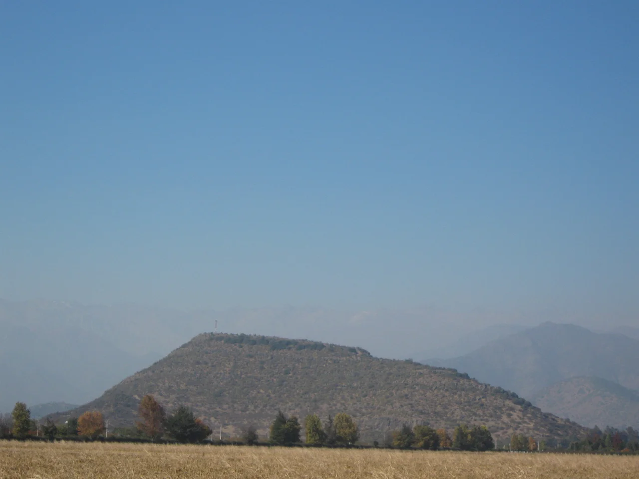

Pukara of La Compañía
An empire that reached from Ecuador to central Chile - thousands of kilometers of mountains, deserts, and coast - had to end somewhere. It ended here, on a hill above the village of La Compañía. The stone bases scattered across this summit, baked by the sun above the Cachapoal Valley, are the southernmost structure left standing of the entire Inca Empire. Stand among them and you are standing at the literal frontier of Tawantinsuyu, the "Land of the Four Quarters," at the point where the largest state the Americas ever produced finally ran out of reach.
The Edge of the Four Quarters
The Inca called their empire Tawantinsuyu, divided into four great quarters, or suyu. The vast southeastern quarter was Collasuyu - Qullasuyu - the largest of the four by area, sweeping down the spine of the Andes. This pukará marks its farthest southern point, the tail end of the empire's longest reach. It earned a place on what is now called the Chilean Inca Trail, the southern continuation of the great Andean road network that bound the empire together. To grasp the distance is to grasp the achievement: messages, armies, and tribute moved along these roads from the imperial capital at Cusco, far to the north, all the way to this lonely Chilean hill.
Three Times a Refuge
The hill tells a story of resistance written in three chapters. Between roughly 1380 and 1450, it sheltered the local Promaucae - also called Picunche - peoples as they fought to hold off the advancing Inca. Then the Inca prevailed, and most of what survives today dates from their occupation, around 1430 to 1450: the fortifications of new masters on a conquered height. The final chapter came generations later, when the same indigenous people again climbed this hill - this time to resist the Spanish conquest. That last stand was recorded in Spanish chronicles, and centuries afterward those very accounts guided archaeologists back to the site, which had been all but forgotten until only a few decades ago.
Reading the Ruins
What remains is spare but legible. Archaeologists have identified the bases of seven circular structures, a single larger building, and other constructions that may have served as observation posts, watching the valley below. The flat crown of the hill is ringed by defensive perimeter walls - the unmistakable signature of a pukará, the fortified Andean stronghold whose name comes from the Quechua word for fortress. There are no towering walls or carved temples here, nothing that announces itself from a distance; the site stayed lost for centuries until researchers, following old Spanish chronicles, climbed back up to find it. The drama is in the position: a commanding height with long sightlines over the Cachapoal Valley, chosen by people who understood that in this country, whoever held the high ground held the future.
A Monument Under Siege
The pukará was declared a National Monument of Chile in 1992, but the honor has not always translated into protection. For years the site lacked proper access for visitors and went largely unmaintained. In 1997 a mobile-telephone antenna was erected on the very summit; building its access road and leveling the ground destroyed about four meters of one of the ancient defensive walls - a modern intrusion on a fortress that had stood for five centuries. There have been efforts to do better: by 2012, a project was underway to create an archaeologically grounded digital reconstruction of the site for educational use, partly funded by the Chilean government. The struggle now is a quieter one - to preserve the empire's last outpost from being lost a second time.
From the Air
The Pukará of La Compañía crowns the Cerro Grande de La Compañía at roughly 34.07°S, 70.68°W, above the village of La Compañía in the commune of Graneros, just north of Rancagua in Chile's O'Higgins Region. From the air, look for an isolated hill rising from the floor of the Cachapoal Valley between the Andes and the coastal range - a tall mobile-telephone antenna on its summit makes the otherwise modest height easy to spot. Best viewed at lower altitudes in clear conditions. The nearest airport is Rancagua's De la Independencia aerodrome (ICAO: SCRG), only a few kilometers south; the nearest major airport is Santiago's Comodoro Arturo Merino Benítez International (ICAO: SCEL), about 80 km to the north. Visibility is excellent in the dry summer months (December-February); winter rains arrive between May and August.
Nearby Stories
- Huaca de Chena 17 km away
- Casa de Isla Negra 45 km away
- La Frontera (Chile) 49 km away
- Uruguayan Air Force Flight 571 54 km away
- Lolol 56 km away
- Cerro El Plomo 58 km away
- Pichilemu 72 km away
- Hotel Termas el Sosneado 87 km away