Rotterdam-The Hague Metropolitan Region
There is an old Dutch joke that Rotterdam earns the money and The Hague spends it. The joke survives because both halves are roughly true. Rotterdam is the country's blue-collar megaport - cranes, container terminals, oil refineries spread across the Maasvlakte sandbar in the North Sea. The Hague is its diplomatic capital - parliament, embassies, the International Court of Justice, the residence of the Dutch royal family. For four centuries the two cities cultivated their differences. Then, on 1 January 2015, they were officially merged into a single administrative entity for the unsexy but necessary work of metropolitan governance. The Metropoolregio Rotterdam Den Haag - MRDH - now coordinates transit, economic development and infrastructure across twenty-one municipalities and roughly 2.4 million people. Neither city was thrilled. Both signed.
Why Two Cities Pretend
The cultural distance between Rotterdam and The Hague is much larger than the twenty-five kilometers of motorway between them. Rotterdam was bombed flat in 1940 and rebuilt as the most architecturally modern city in the Netherlands - it has skyscrapers, the Erasmusbrug, the Markthal, the Cube Houses. The Hague kept its eighteenth-century townhouse fabric mostly intact, and its Binnenhof, the brick and stone parliamentary complex around a central pond, still looks the way it did when Spinoza lived a half-hour's walk away. Rotterdam votes labor and populist. The Hague votes liberal and Christian-democrat. Rotterdam's accent drops half its consonants. The Hague's accent clips its vowels. The merger of 2015 did not erase any of this. It just stopped the two cities from running parallel bus systems through the same suburb.
The Rijnmond and the Haaglanden
What MRDH actually merged were two older regional bodies. Stadsregio Rotterdam - the Rotterdam Urban Area, locally called Rijnmond, meaning Rhine Estuary - covered the port and its industrial fringe along the Nieuwe Maas. Haaglanden - Greater Hague - covered the diplomatic capital and its commuter ring north toward Leiden. Both regions had been created in the 1990s and both had been quietly failing for years: too small to negotiate with the national government, too territorial to cooperate with each other. The 2015 merger was, in essence, a forced marriage performed by the Dutch parliament. It works the way most arranged marriages do: chilly at the wedding, functional within a decade, and held together by the kids - in this case, the regional metro system, the airport bus connection, and the joint economic development agency.
Where the Rivers End
Geographically, the MRDH is where the great rivers of Western Europe come to die. The Rhine and the Meuse - which crossed the German Ruhrgebiet, the Belgian Ardennes and half of France before reaching the Netherlands - empty here, in a delta of channels and artificial waterways and dredged shipping lanes. The Port of Rotterdam handles much of the river traffic on its way to the North Sea. The result is one of the strangest pieces of geography on the continent: a metropolitan region whose land area is fragmented by water into peninsulas and reclaimed islands, where you cannot drive from one suburb to another without crossing at least one bridge, and where the official Dutch maps still show the routes of Roman-era shipping channels under the modern street grid.
Delft in the Middle
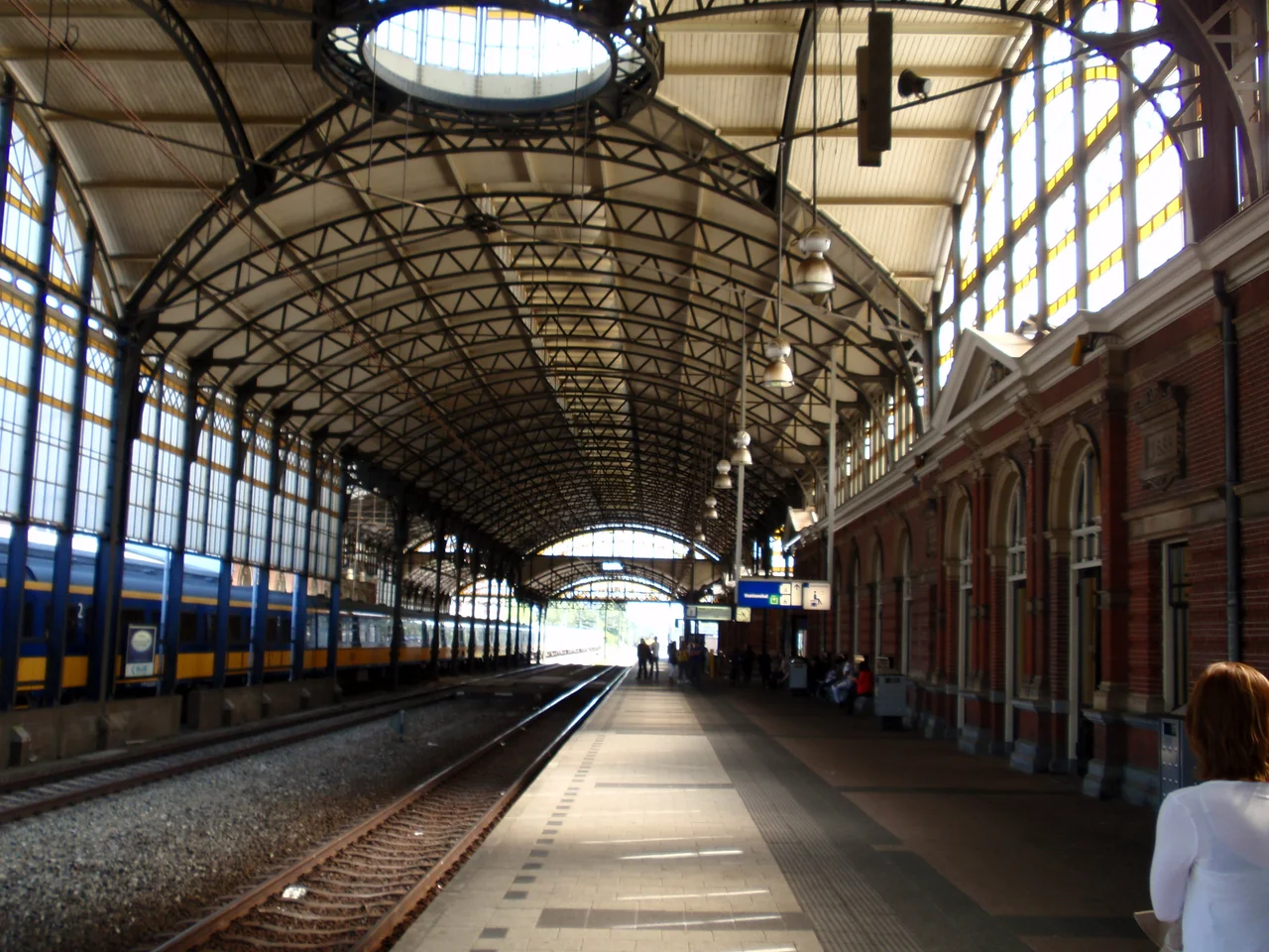
Halfway between Rotterdam and The Hague, on the old waterway that connects them, sits Delft - smaller than either city, older than both, more visited by tourists than either combined. Delft was where William the Silent organized the Dutch revolt against Spain in the sixteenth century, where Johannes Vermeer painted his impossible interior light in the seventeenth, where the Royal Delft factory began producing the blue-and-white tin-glazed pottery the world still associates with the Netherlands. Today it is the joint cultural anchor of the MRDH - too small to govern the region, too historically dense to ignore. The intercity train pauses at Delft on every Rotterdam-Den Haag run, and a steady flow of tourists climbs off, looks for Vermeer's house, finds out it was demolished in 1700, and buys a tile instead.
Zoetermeer and the Suburb Question
On the eastern edge of MRDH lies the planned city of Zoetermeer - a postwar new town built almost from nothing in the 1960s and 70s to absorb the population overflow of The Hague. It has roughly 125,000 residents now, most of whom commute back to The Hague or Delft for work. Zoetermeer collects the architecturally improbable: an indoor ski slope (SnowWorld), a covered swimming venue (Silverdome), a former kayaking and rafting park (Dutch Water Dreams, which operated until 2015), and an actual Mormon temple. The town is connected to the MRDH transport network by the RandstadRail - the same light-rail system that links central Rotterdam to The Hague. It is the kind of place that gets dismissed as a suburb until you ask what a suburb in the Netherlands is supposed to be, exactly, when the entire country is denser than most American suburbs.
From the Air
The MRDH covers most of South Holland province, roughly between 51.85 N and 52.15 N, 4.05 E and 4.65 E. The center sits near 52.01 N, 4.56 E. Rotterdam The Hague Airport (EHRD) is the only commercial airport in the region; Amsterdam Schiphol (EHAM) 55 km north-northeast handles the bulk of international traffic. Visual landmarks from altitude include the Maasvlakte port extension into the North Sea, the Nieuwe Waterweg shipping channel, the Binnenhof complex in The Hague, the dome of the Eurodelta refinery cluster, and the Dutch dunes running the entire coastline. The North Sea is consistently busy with shipping; coastal stratus is common October-April.
Nearby Stories
- European Cooperation for Space Standardization 2.2 km away
- Operation Pheasant 5.6 km away
- Dutch Language 8.3 km away
- Moerdijk 9.9 km away
- Amsterdam University Medical Center 10 km away
- Delta Works 11 km away
- HMS Cressy 14 km away
- Moermond Castle 24 km away