Moerdijk
Ask a Belgian where the Netherlands begins and they may not name a town. They may just say boven de Moerdijk - above the Moerdijk. Ask a Catholic from North Brabant where the rest of Holland starts and you will hear the same phrase, with the same meaning. The Moerdijk in question is a village of 1,205 people that almost nobody outside the region could pick out on a map. What everybody knows are the bridges - the long road and rail spans crossing the Hollands Diep just north of the village, which became one of the most strategically important river crossings in the country and, in November 1944, one of the very first targets ever hit by American 'smart bombs.'
A Line on the Map and on the Tongue
The Hollands Diep is a wide tidal river that cuts the southern Netherlands almost in half. For centuries you could not casually get across it; you went the long way around, or you waited for a ferry. When highway and rail bridges were finally thrown across the water at Moerdijk, the village's name detached itself from the place and became a piece of national vocabulary. Above the Moerdijk - what Belgians and Brabanters call the Calvinist, urbanised, big-city Netherlands of Rotterdam and Amsterdam. Below the Moerdijk - the Catholic Netherlands of North Brabant and Limburg, where carnival is still a serious annual undertaking and Lent still gets observed. Across the Moerdijk - whichever side the speaker is not currently standing on. The two halves of the country still genuinely feel different. The river decided that. The bridges only made it official.
The Last Bridge Out
In the autumn of 1944, with the Allies pushing north from the Scheldt and German defences collapsing around Antwerp, the Moerdijk bridges became the last reliable retreat route for German forces trying to extract themselves from the southern Netherlands. American heavy bombers responded by making the spans one of the very first targets attacked with guided weapons - early radio-controlled bombs that pointed toward a future of precision warfare nobody quite had names for yet. The bridges took the hits and got rebuilt after the war. The strategic principle held: hold the Moerdijk and you hold the road into Holland, which is exactly the reason a German paratrooper assault in May 1940 had captured the same bridges in the first hours of the invasion of the Netherlands.
The Chemie-Pack Fire
On 5 January 2011 Moerdijk made the national news again, this time for the worst possible reason. A fire broke out at Chemie-Pack, a chemical processing firm at the giant Moerdijk industrial complex just east of the village. The blaze sent a vast black plume rolling north over densely populated areas, raining contamination across surrounding farmland and triggering evacuations and shelter-in-place orders that lasted for days. The aftermath turned into a sustained Dutch scandal about industrial safety regulation, with subsequent reports concluding the fire was the result of years of accumulated bad practice. Chemie-Pack collapsed into bankruptcy. The cleanup took years. The episode left a permanent dent in Dutch trust in chemical-park regulation, and the phrase 'doing a Moerdijk' briefly became journalistic shorthand for an industrial disaster waiting to happen.
Zevenbergen and the Older Half
The municipality of Moerdijk in its modern form is only as old as 1998. It was assembled in 1997 from five older municipalities - Fijnaart en Heijningen, Klundert, Standdaarbuiten, Willemstad, and Zevenbergen - and the merger was at first called simply Zevenbergen, until the council decided three months later that the more famous name would do better. The town of Zevenbergen, the largest centre with 14,006 people, received its city rights in 1427 and sits about ten kilometres northwest of Breda on the railway line to Dordrecht and Roosendaal. Klundert produced two Olympic cyclists in the 1920s and 1930s, Piet van der Horst and Nico van Gageldonk. Willemstad gave the Netherlands the postwar politician Jaap Burger. Zevenbergen gave Dutch art the Golden Age painter Hendrick Berckman. Fijnaart, another of the merged villages, gave Dutch music the three sisters of O'G3NE, who finished eleventh at Eurovision in 2017.
Above and Below the River
Today the Moerdijk industrial complex is one of the largest seaports in the Netherlands by inland tonnage - a sprawl of chemical plants, container terminals, and a major power station that hums day and night just south of the bridges. The village itself remains small and quiet, surrounded by water and the marshes that gave it its name (moer is Dutch for peat bog). The contrast between the placid village and the industrial machine to the east is the present-day version of the old joke about the place: Moerdijk has always been the seam between two Netherlands, and from above the seam is still clearly visible, with the dense Randstad cities to the north and the open Brabant fields rolling south toward Belgium.
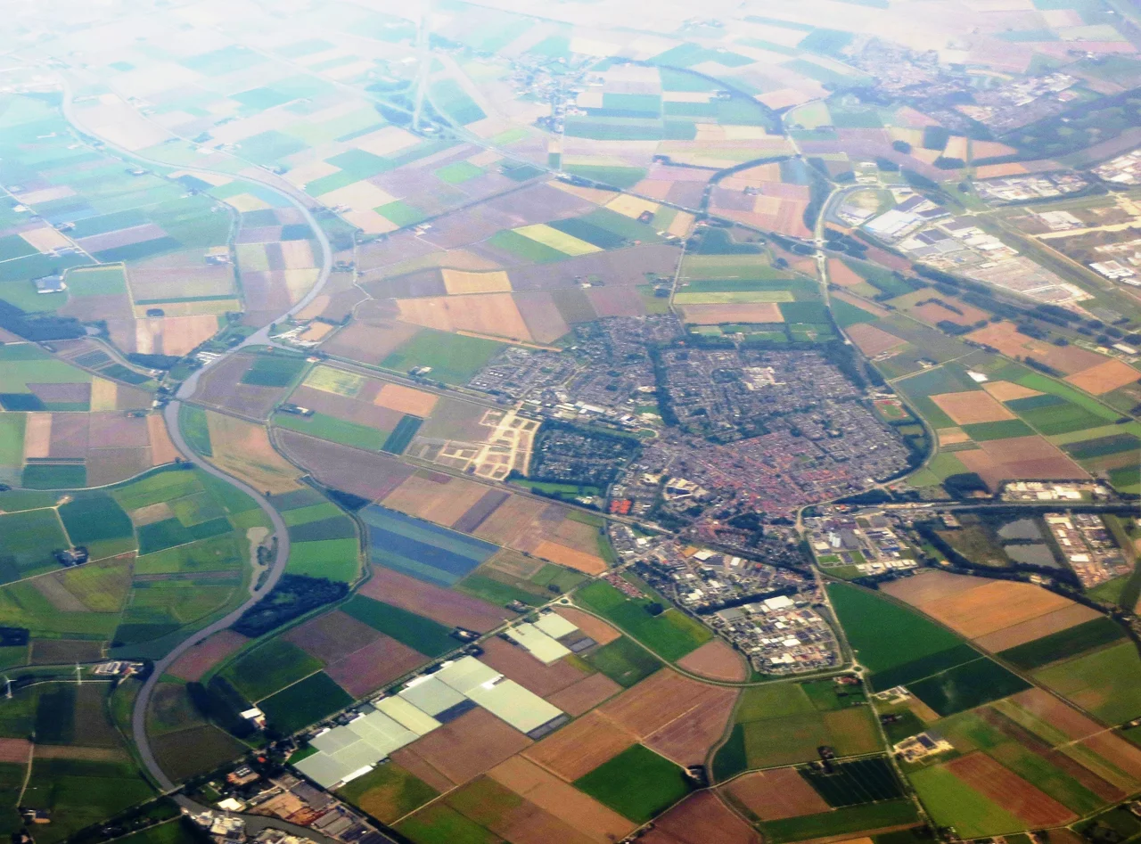
From the Air
Located at 51.66 N, 4.53 E on the south bank of the Hollands Diep in North Brabant, the Netherlands. The Moerdijk bridges - parallel road and rail spans - run north from the village across the Hollands Diep and are unmistakable from altitude, as is the massive Moerdijk industrial complex and harbour just east. Best viewing 2,000 to 4,000 feet AGL on a clear day. Nearest airports: Rotterdam-The Hague (EHRD) about 13 nm north, Breda-Seppe (EHSE) about 13 nm south, Antwerp-Deurne (EBAW) about 30 nm south. This sits beneath Schiphol TMA and adjacent to Rotterdam control - coordinate carefully and expect IFR routing.
Nearby Stories
- Campine 1.5 km away
- Kapellen 2.8 km away
- Wilton-Fijenoord 5.1 km away
- North Brabant 5.5 km away
- Sabbinge Castle 8.1 km away
- Heinz Struning 14 km away
- Reginald Warneford 31 km away
- HMS Cressy 46 km away