Campine
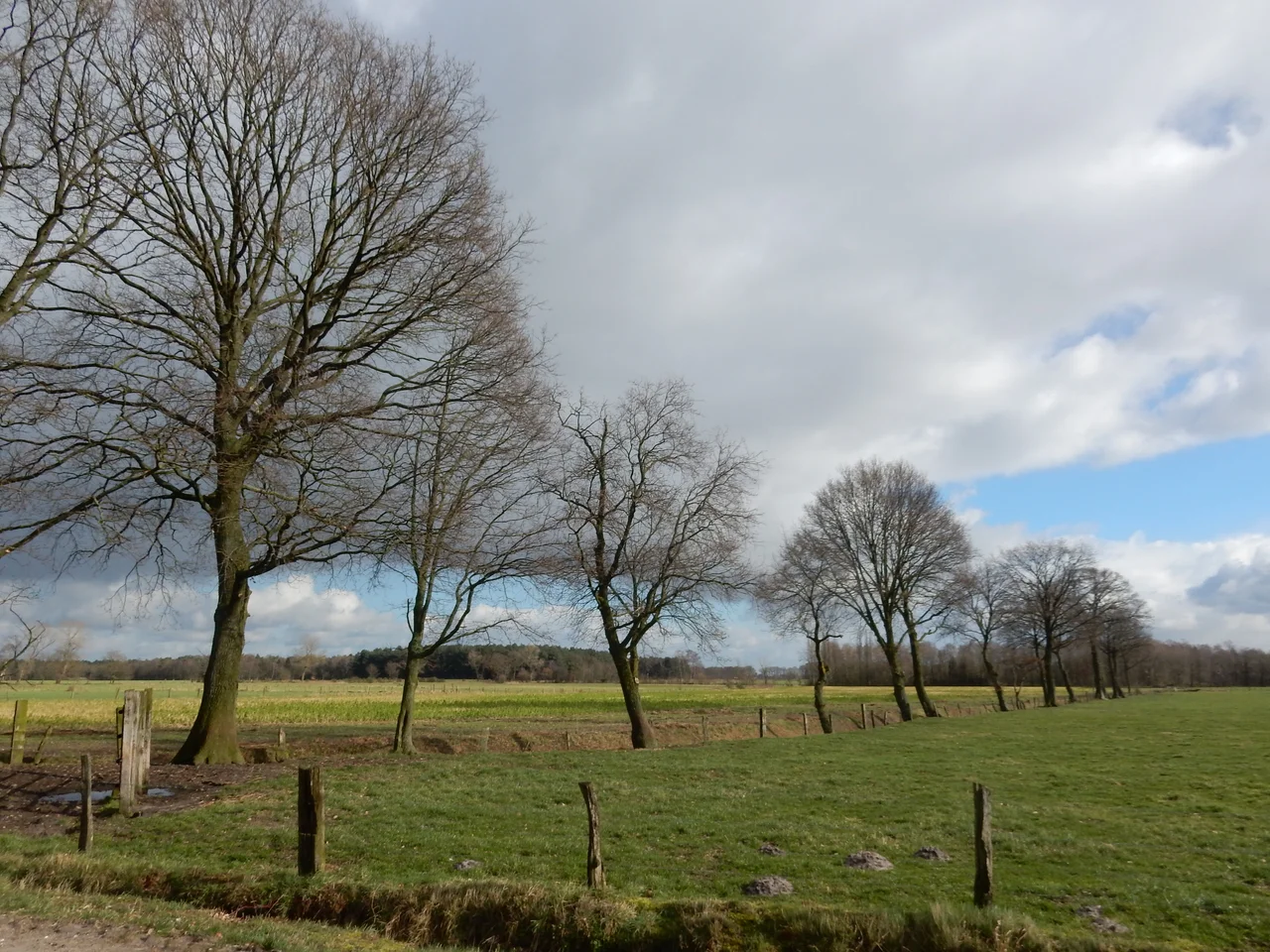
Bad soil saved this place. For most of recorded history, the Campine, or Kempen in Dutch, was the region nobody wanted. Sandy, acidic, half-drowned in wet seasons and parched in dry ones, it sprawls across north-eastern Belgium and the southern Netherlands like a forgotten patch sewn between richer fabrics. The monk Stepelinus, writing in the mid-11th century at Saint-Trond, called it Campania, from a Latin root meaning the virgin fields, the uncultivated places. He meant it almost as a shrug. And yet that shrug is what preserved everything that now makes the Campine extraordinary.
The Monks Who Wanted Nothing
When you cannot grow grain, you cannot pay taxes. When you cannot pay taxes, the powerful leave you alone. This is why the Campine became a landscape of abbeys. Achel, Postel, Westmalle, Tongerlo, Brecht, Zundert - the monasteries spread across the heath because monks were looking for exactly what farmers feared: silence, distance, the absence of interruption. Some of those abbeys still brew the Trappist beers that carry the region's name across the world. Around them, villages stayed small. Cities stayed at the rim - Antwerp, Lier, Turnhout to the west; Eindhoven, Maaseik, Maastricht to the east. The Campine itself remained a green and brown interior, the kind of place Victor Hugo passed through in 1837 and felt obliged to write down. The Flemish novelist Hendrik Conscience, who grew up there in the early 1800s, returned to it for the rest of his life in his books.
Buckriders and the Gnome King
The poor sandy soil grew folktales as readily as it grew pine. Across the Campine, peasants once whispered about the Bokkenrijders, the Buckriders - bands of thieves said to fly through the night air on the backs of goats, sworn to the devil. The legend likely covered for real gangs of smugglers in the 18th century, but in the telling it grew wilder, and the Campine's emptiness gave the imagination room to fill in goat-hooves and broomsticks. Children were told about the gnome king Kyrie, who ruled an unseen people beneath the heath. Even the way of building marked the place apart: the langgevelboerderij, the long-facade farm, ran low and stretched against the wind, house and barn and stable lined under one roof like a single defensive sentence.
What the Sand Was Hiding
Then the 19th century arrived and looked at the Campine with new eyes. Beneath the heath lay silica sand pure enough for glassmaking, which is why a company called Sablieres et Carrieres Reunies set up in Mol in 1872 and grew into the firm now known as Sibelco. Beneath that lay coal. After the Second World War, the Campine basin opened its mines in Beringen, Genk, and Houthalen, drawing in workers from southern Europe and changing the language of village markets overnight. The empty land that nobody had wanted suddenly hosted Janssen Pharmaceutica in Beerse, the BR2 nuclear research reactor at Mol in 1962, and the European Institute for Reference Materials and Measurements in Geel. The space that had once meant poverty now meant room - room for industry, for army garrisons at Leopoldsburg and Brasschaat, for air bases at Kleine Brogel and Zutendaal.
Hoge Kempen, and What Remains
Not all of it was paved over. In March 2006, Belgium opened its first and still only national park here: Hoge Kempen, nearly sixty square kilometres of heath and pine forest east of Genk, climbing toward the Meuse. Walk it in late August and the heather turns the whole plateau purple, a color the painters Jakob Smits and Frans Van Giel spent careers trying to capture. Elsewhere in the region, fragments of the old landscape survive in names that sound like spells - the Kalmthoutse Heide, De Teut at Zonhoven, the Liereman near Oud-Turnhout, the Zwart Water moors at Turnhout. The villages of Dessel call themselves the Heart of the Campine, while Westerlo and Kasterlee claim the title Pearl. In the Dutch portion, eight villages share the old folk-name acht zaligheden, the eight blessed ones, an echo of a time when blessing was something this difficult ground had to be coaxed into giving.
A Region That Still Sings of Itself
In 1966 the Flemish singer Louis Neefs released M'n dorp in de Kempen, My Village in the Campine, and it became something close to a regional hymn. The song is sentimental, but the sentiment is earned: this is a place where people remember being from somewhere small, and where the small places still mostly are. The dialects survive. The langgevelboerderijen still stand along village roads. The Bokrijk open-air museum near Genk preserves the carpentry, the smithwork, the schoolrooms of the lost agrarian Campine. The land that monks chose for its silence has spent two centuries learning to be loud, but if you stand on the heath at Hoge Kempen at dusk and listen, you can still hear what they came for.
From the Air
The Campine sprawls across 51.32 N, 4.93 E and east, with no single center. Cruise at 5,000 to 8,000 feet for the full sweep of heath, pine, and crisscrossed canals. Visual landmarks: the Albert Canal cutting east-west, the Meuse forming the eastern edge, the green tile of Hoge Kempen National Park east of Genk. Nearby airports: Antwerp (EBAW), Brussels (EBBR), Eindhoven (EHEH), and the military air bases at Kleine Brogel (EBBL) and Zutendaal (EBZU). Restricted airspace around Kleine Brogel - check NOTAMs.
Nearby Stories
- Battle of Halen 3.2 km away
- Fontys School of Fine and Performing Arts 5.6 km away
- Mechelen Incident 6.4 km away
- 2013-14 Belgian Second Division 7.7 km away
- Roosendaal 8.9 km away
- Brussels Airport 10 km away
- Raceway Venray 18 km away
- Maaseik 19 km away