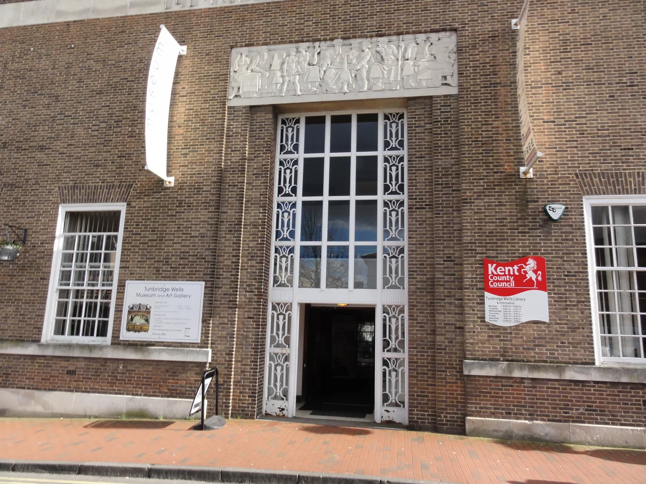

Royal Tunbridge Wells
In 1606 a courtier named Dudley North, the 3rd Baron North, was staying at a hunting lodge in Eridge with the rather hopeful idea that country air might cure what was bothering him. He found a spring instead. The water tasted strongly of iron - chalybeate, in the language of the day - and when North drank it, he felt better. He told his rich London friends. By 1630 Queen Henrietta Maria, wife of Charles I, had visited; by 1636 two houses had been built next to the spring, one for ladies and one for gentlemen, to accommodate the growing fashion for taking the waters. The town that grew up around that spring is now Royal Tunbridge Wells, one of only three English towns to carry the 'Royal' prefix - and the only one to do so on the strength of a single ferrous spring.
From Iron Age Fort to Restoration Spa
The area was inhabited long before Baron North turned up thirsty. Iron Age people farmed the fields and mined iron from the local sandstone; James Money's excavations between 1957 and 1961 at High Rocks uncovered a defensive hillfort that was still occupied during Roman Britain. The Wealden iron industry that followed lasted into the late 18th century. An iron forge at Bayham Abbey was in use until 1575 and documented until 1714. The land that became Tunbridge Wells was part of the parish of Speldhurst for centuries. Only after North's discovery did permanent building begin near the spring, and even then visitors had to camp on the downs or find lodgings at Southborough until the 1680s building boom finally created a proper town.
The Pantiles and Beau Nash
The 1680s building boom produced the Pantiles - a 175-yard colonnaded promenade beside the spring, laid out with carefully planned shops selling Tunbridge ware (a distinctive inlaid woodwork still highly collectable), silver, china, and millinery. Coffee houses opened. Gambling tables operated. The diarist Celia Fiennes in 1697 described 'the walk which is between high trees on the market side which are shops full of all sorts of toys, silver, china, milliners.' In 1735, Richard 'Beau' Nash - already master of ceremonies at Bath - appointed himself the same at Tunbridge Wells. Until his death in 1762 he set the rules: who could attend, what could be worn, how dances should proceed. Under Nash the town reached the height of its 18th-century fashion. Visitors included Samuel Johnson, David Garrick and Samuel Richardson.
Sea Bathing and Survival
Tunbridge Wells's first decline came from medicine. In 1750 the doctor Richard Russell published his treatise advocating sea water as a treatment for diseases of the glands. The fashionable rush moved to Brighton, Margate, and the coast generally. Spa towns struggled. Tunbridge Wells survived by turning itself into a genteel residential town rather than a season-only resort. The turnpike roads improved through the 18th century - a public coach made nine return journeys daily between London and Tunbridge Wells by the late 18th century. Visits by the Duchess of Kent in 1822 and her daughter Princess Victoria began a second round of royal patronage. After Victoria took the throne she returned with Prince Albert. The town was awarded Borough status in 1889 and the prefix 'Royal' by King Edward VII in 1909 - one of three towns to be so honoured, along with Leamington Spa and Wootton Bassett.
Geology and Geography
The town sits on the northern edge of the High Weald, the ridge of hard sandstone that runs across southern England from Hampshire to Kent. The exposed sandstone outcrops at Wellington Rocks and High Rocks - the latter a Site of Special Scientific Interest - illustrate the local geology, and the Tunbridge Wells Sand Formation is named for the town. The original settlement sat directly on the Kent and East Sussex border, marked by a county boundary flagstone outside the church of King Charles the Martyr. The town occupies the head of a valley running southeast to Groombridge; its streams feed the River Teise and the Medway. Sandstone quarries at nearby Langton Green provided the stone for many of the town's buildings.
What Remains
The Pantiles is still there - colonnaded, slightly self-conscious, still selling antiques and afternoon tea. The chalybeate spring is still there, with a 'dipper' on hand in season to draw a cup of the iron-tasting water for tourists. The Calverley Grounds, laid out by Decimus Burton in the 1820s, remain among the most elegant in Kent. Tunbridge Wells survived both World Wars - 3,800 buildings damaged by bombing in WWII, but only 15 people killed. The town now has a population of around 60,000, a Conservative-leaning Borough Council (with a Liberal Democrat MP since 2024) and a tourism economy that still trades on the spa years. It is no longer fashionable in the 1750 sense. It has become something rarer: a town that knows what it is and has stopped trying to be anything else.
From the Air
Royal Tunbridge Wells sits at approximately 51.13 degrees north, 0.26 degrees east, on the Kent/East Sussex border in the High Weald. The town is about 30 miles southeast of central London. London Gatwick (EGKK) is roughly 18 miles to the west. From altitude, look for the dense town centre on its valley head, the green expanse of the Calverley Grounds, the heavily wooded sandstone outcrops at High Rocks to the southwest, and the line of the A21 trunk road passing east of the town. The settlement nestles in a basin surrounded by the higher ground of Ashdown Forest to the south and the open Wealden countryside to the north.
Nearby Stories
- Lullingstone Castle 3.6 km away
- Belle Tout Lighthouse 7.5 km away
- Oatlands Palace 8.7 km away
- Queenborough Castle 10 km away
- The Mermaid Inn, Rye 13 km away
- Surrey 22 km away
- Fratton Park 50 km away
- Battle of Boulogne 65 km away