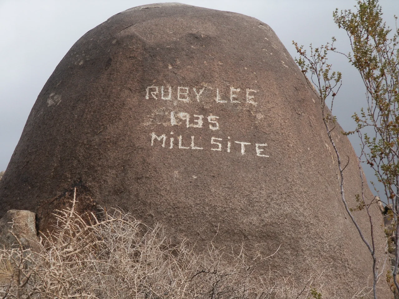
Ruby Lee Mill Site
The Hexie Mountains run through the center of Joshua Tree National Park — dark, fractured terrain between the park's two desert ecosystems, where the high Mojave meets the lower Colorado. The Ruby Lee Mill Site sits within this range, a remnant of the years when prospectors were still combing the desert for ore that might justify a stamp mill and a well and the labor of extraction.
The Claim and the Mill
The site was established in 1935, a year before the lode claim from which it takes its name was formally filed. Ruby Lee Rule registered the Ruby Lee lode claim in 1936, attaching a name to ground that prospectors had already been working. The mill itself was a stamp mill — a mechanical system for crushing quartz rock to release the trace gold and silver embedded within it. The ore at the Ruby Lee site was not abundant. The gold and silver content was described as trace: enough to justify the effort of building a mill and the hope that drove mining operations across the Mojave, but not enough to make anyone wealthy.
In 1948, the property was sold to a man named Dietemann. The transfer of ownership did not change the fundamental arithmetic of the ore. The mill processed what the rock offered and no more.
The Well Runs Dry
Desert mining operations depended on water — for the stamp mill's operation, for the people working the site, for the animals pulling ore. The Ruby Lee site had a well. By 1974, that well was dry. The water table in the Hexie Mountains, already marginal in the Colorado Desert's arid climate, had been drawn down to the point where the well ceased to function.
By the time the well gave out, the question of who owned the land had already been settled differently. Joshua Tree National Monument had been established in 1936 — the same year Ruby Lee Rule filed the claim — and the monument boundaries eventually enclosed the mill site. When the monument was redesignated a national park in 1994, the Ruby Lee Mill Site was fully within park boundaries, its mining era ended, its well dry, its structures remaining as evidence of the prospecting years that preceded protected status.
What Remains in the Hexies
The Hexie Mountains are not the most-visited terrain in Joshua Tree National Park. The park's famous landscape of enormous boulders and twisted Joshua trees occupies the higher-elevation Mojave portion to the north and west; the Hexies sit in the transitional zone where that world gives way to the lower, hotter Colorado Desert. The mountains are accessible but not heavily trafficked.
The Ruby Lee Mill Site is within this quieter region — a place where the evidence of human extraction sits alongside creosote bush and ocotillo rather than the boulder formations that draw most park visitors. The structures that remain are what stamp mills leave behind when the ore runs out and the people leave: concrete foundations, rusted machinery, the geometry of a working operation preserved by the desert's dry air and the absence of anyone with reason to remove it.
From the Air
Located in the Hexie Mountains in the central portion of Joshua Tree National Park, near 33.97°N, 115.87°W. The Hexies lie east of the Pinto Basin and south of the main park road between the Cholla Cactus Garden and Cottonwood Spring. The terrain is identifiable from altitude as darker, more fractured rock than the pale granite boulder fields to the northwest. Nearest airports: Twentynine Palms (TNP) ~20 miles northwest, Thermal/Palm Springs area (PSP) ~45 miles southwest.
Nearby Stories
- Thousand Palms 3 km away
- Wonder Valley, California 5.9 km away
- Desert Christ Park 7.4 km away
- Dos Palmas Spring 7.4 km away
- San Bernardino National Forest 7.8 km away
- Poston War Relocation Center 86 km away
- London Bridge (Lake Havasu City) 98 km away
- Old Plank Road 105 km away