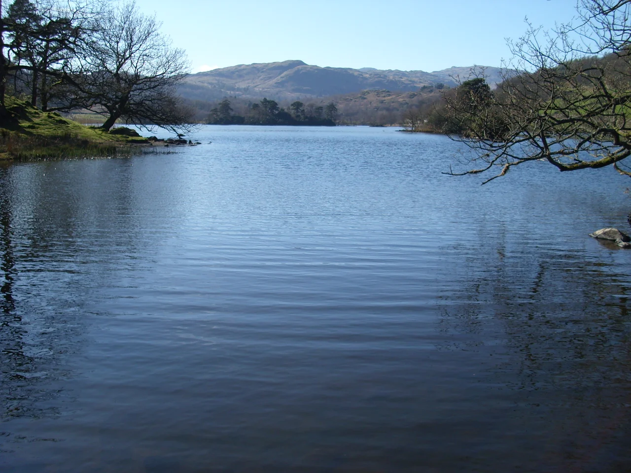

Rydal Water
If you walk the path along the north shore of Rydal Water on a clear afternoon, you can see the gardens of Rydal Mount on the hillside above you - the house where Wordsworth lived for thirty-seven years. The lake is small enough to circle on foot before lunch. Its surface holds reflections of Nab Scar and Loughrigg Fell with a stillness that bigger lakes never quite manage. Rydal Water is one of the smaller bodies of water in the Lake District, but it is so closely tied to the Romantic poets and their walks that almost nothing said about it can avoid them.
A Small Lake, Carefully Measured
Rydal Water is roughly 1,290 yards long - about 1.18 kilometres - and at its widest it spans 380 yards, or 350 metres. It covers an area of 0.12 square miles, or 0.31 square kilometres. The deepest point reaches 55 feet (17 metres), and the lake sits 177 feet (54 metres) above sea level. The river Rothay flows in from the north, having drained Grasmere lake upstream, and flows out at the south end, on its way to Windermere. Rydal Water is, in other words, a kind of pause in a river's progress through a valley. The name itself is Old English: 'wæter' for lake or pool. Old Norse influence sits behind some of the surrounding place-names, evidence of the long Scandinavian presence in this part of the country.
Between Two Famous Houses
The lake's position turns out to matter. Grasmere lies just upstream; Dove Cottage, where William and Dorothy Wordsworth lived from 1799 to 1808, sits at the edge of Grasmere village. Rydal Mount, where they moved in 1813 and stayed until their deaths, sits on the hillside above the eastern shore of Rydal Water. Wordsworth walked between these two houses, along this lake, more times than anyone counted. The path along the north shore is sometimes called the Coffin Route - it was historically the route on which coffins were carried from outlying farms to the consecrated burial ground at St Oswald's in Grasmere. Walkers today follow it for the views, but the older purpose is still there in the name.
Art and Memory
An engraving of Rydal Water by the artist George Pickering appeared in Fisher's Drawing Room Scrap Book in 1838, accompanied by verses from Letitia Elizabeth Landon - one of the bestselling poets of her day - that paid open homage to Wordsworth. Landon's verses were the kind of literary tourism the lakes had begun to attract. Wordsworth was still alive, still living above the lake, still walking its shoreline. The view from Nab Scar, looking down over the water toward Loughrigg, became a standard set-piece for Victorian travellers and artists. It still is. The shapes of the surrounding fells - the rounded brow of Nab Scar to the north, Loughrigg Fell to the south-west - act as natural frames for a small lake that obligingly stays still long enough to be drawn.
Dora's Field and the Spring
On a low slope above the eastern end of the lake, just below Rydal Mount, sits Dora's Field - the small piece of ground William and Mary Wordsworth bought after their daughter Dora's death from tuberculosis in 1847, and planted with daffodils. It belongs to the National Trust now. Each spring the field fills with yellow, an act of memorial that has quietly outlived the family who began it. Below, the lake holds the same reflections it always has. The Rothay enters at one end, leaves at the other, and Rydal Water carries on in between - a small thing, much-walked, looked at by more poets than perhaps any equivalent stretch of water in England.
From the Air
Rydal Water sits at 54.45 N, 2.99 W in the central Lake District, halfway between Grasmere village (1 km north-west) and Ambleside (3 km south-east). The lake is small - about 1.2 km long - and is best identified from altitude as the smaller body of water immediately south-east of Grasmere lake, with the river Rothay connecting them. The A591 runs along the north shore. Nab Scar and Heron Pike rise north; Loughrigg Fell rises south. Nearest airfield is Carlisle Lake District (EGNC), about 50 km north-north-east; Walney Island (EGNL) lies 40 km south-west. Recommended viewing altitude 2,500-3,500 ft AGL. Valley mist is common on still mornings; cloud forms quickly on Helvellyn and the Fairfield Horseshoe to the north-east.
Nearby Stories
- Morecambe Bay 4.1 km away
- Caldbeck 8 km away
- Pendragon Castle 8.1 km away
- Egremont Castle 8.5 km away
- Upper Teesdale 13 km away
- Solway Firth 13 km away
- Malham Cove 21 km away
- Santon Railway Station 70 km away