San Vicente, Palawan
The argument was about saints. In the 1950s, migrants from Manamoc island in the Cuyo Archipelago had settled a muddy coastal area they called Malagnang -- the word itself means "muddy" in the local language. As the community grew, two ethnic groups, the Cuyunon and the Agutaynon, found themselves disagreeing on a patron saint. The Cuyunon wanted Saint Vincent Ferrer; the Agutaynon preferred Saint Isidro Labrador. Unable to resolve the dispute through debate, they did what seemed fair: they drew lots. Saint Vincent Ferrer won, and Malagnang became San Vicente. The town that emerged from a coin toss now sits on the longest white sand beach in the Philippines.
Fourteen Kilometers of Sand
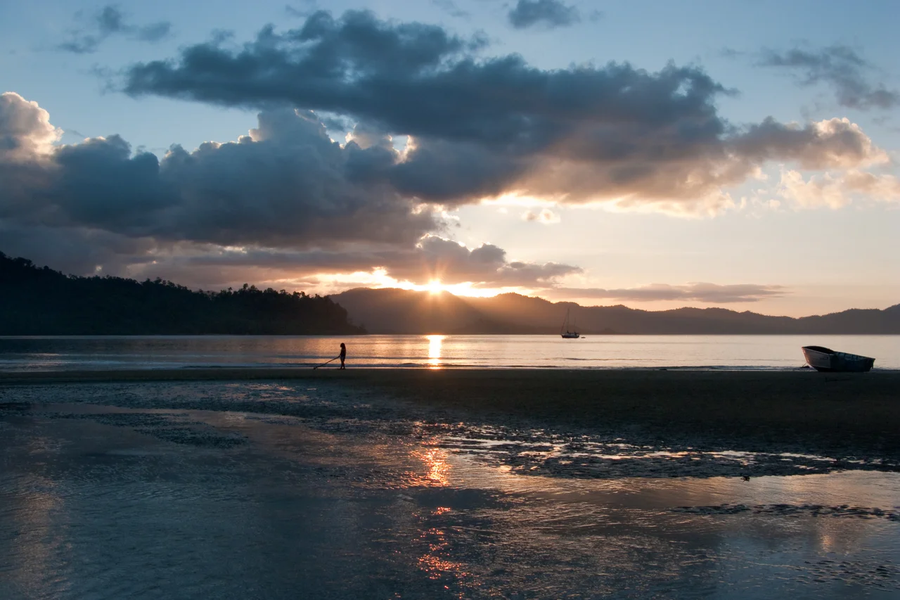
San Vicente's Long Beach stretches 14.7 kilometers along the municipality's northwestern coast -- nearly three times the length of Boracay's famous White Beach. Two rocky cliffs interrupt the continuous expanse, dividing it into three coves, though at low tide you can walk the sand between them. The local government insists the beach is technically continuous, and from the air the claim is convincing: a pale ribbon curving along four barangays -- Poblacion, New Agutaya, San Isidro, and Alimanguan -- backed by coconut palms and, increasingly, by construction. Long Beach has been designated the Philippines' First Flagship Tourism Enterprise Zone by the Tourism Infrastructure and Enterprise Zone Authority, a bureaucratic title that signals intent. The government is betting that this stretch of coastline can become a major destination, and money is following the bet.
Pioneers from the Cuyo Archipelago
The Dandal brothers -- Anastacio and Lauro -- were among the first to arrive from Manamoc in 1952, accompanied by Alberto Radam and Marcelino Gadiano and their families. Relatives followed, forming a small community that elected Anastacio Dandal as its first barrio lieutenant. The settlement remained a sitio of Kemdeng, which was part of Puerto Princesa, until 1959, when it was upgraded to a barrio and renamed San Vicente by law. The Municipality of San Vicente was created on June 21, 1969, through Republic Act 5821, drawing territory from both Taytay to the north and Puerto Princesa to the south. It officially functioned as a distinct municipality beginning January 1, 1972. Today, 24 ethno-linguistic groups call San Vicente home, each with distinct dialects and cultural traditions, though Filipino (Tagalog) serves as the common language. The municipality celebrates its patron saint during the town fiesta from April 1 to 5 and its founding with the Malagnang Festival each June.
The Land Rush
San Vicente's transformation from a fishing and farming municipality to a tourism frontier has been swift and uneven. As recently as 2014, rice field properties sold for 300,000 pesos per hectare. Three years later, the same land cost 3,000,000 pesos -- a tenfold increase driven by speculation and the opening of San Vicente Airport to small commercial flights. Beachfront properties, according to local accounts, sell as fast as they are listed. Investors from Manila and abroad have poured money into land banking, acquiring large parcels and reselling them at exponential markups. Fishing and farming still employ the largest share of the population -- 29.5 percent and 25.8 percent respectively -- with rice and coconut as the primary agricultural crops. But the economic center of gravity is shifting. Roads and infrastructure projects, funded by the national government, are reshaping the municipality's physical landscape nearly as fast as tourism is reshaping its economy.
Port Barton and the Quiet Coast
Not all of San Vicente is Long Beach. The barangay of Port Barton, on the municipality's southern coast, offers a different tempo: a small fishing village with beach basketball courts, sunset views over island-dotted bay, and coral reefs within kayak distance. San Vicente encompasses 22 islands and islets within its municipal boundaries and a forest area of more than 82,000 hectares. The municipality serves as habitat for 23 of the 25 wildlife species found on the island of Palawan. Its coastline includes not just white sand but coral reefs, mangroves, and waterfalls fed by the surface water of Little Baguio Falls. The dry season runs from December through May, governed by the amihan, the northeastern wind. When the habagat -- the southwestern monsoon -- arrives in June, the coastal waters turn rough and the municipality retreats into a quieter rhythm, waiting for the next cycle of visitors and calm seas.
From the Air
Located at 10.53°N, 119.25°E on the northwestern coast of Palawan. Best viewed from 5,000-10,000 feet. Long Beach is dramatically visible from the air as a 14.7 km pale arc along the coast, interrupted by two rocky headlands. The municipality has its own airport: San Vicente Airport (RPNS). Port Barton sits on the southern coast. The contrast between the developed beachfront and the forested interior is striking from altitude.
Nearby Stories
- Taytay, Palawan 21 km away
- Puerto Princesa Subterranean River National Park 48 km away
- Puerto Princesa 52 km away
- Iwahig Prison and Penal Farm 82 km away
- Fort Cuyo 124 km away
- Cuyo, Palawan 131 km away
- 2019 Reed Bank Incident 238 km away
- Japanese Cruiser Abukuma 306 km away